MyTopo
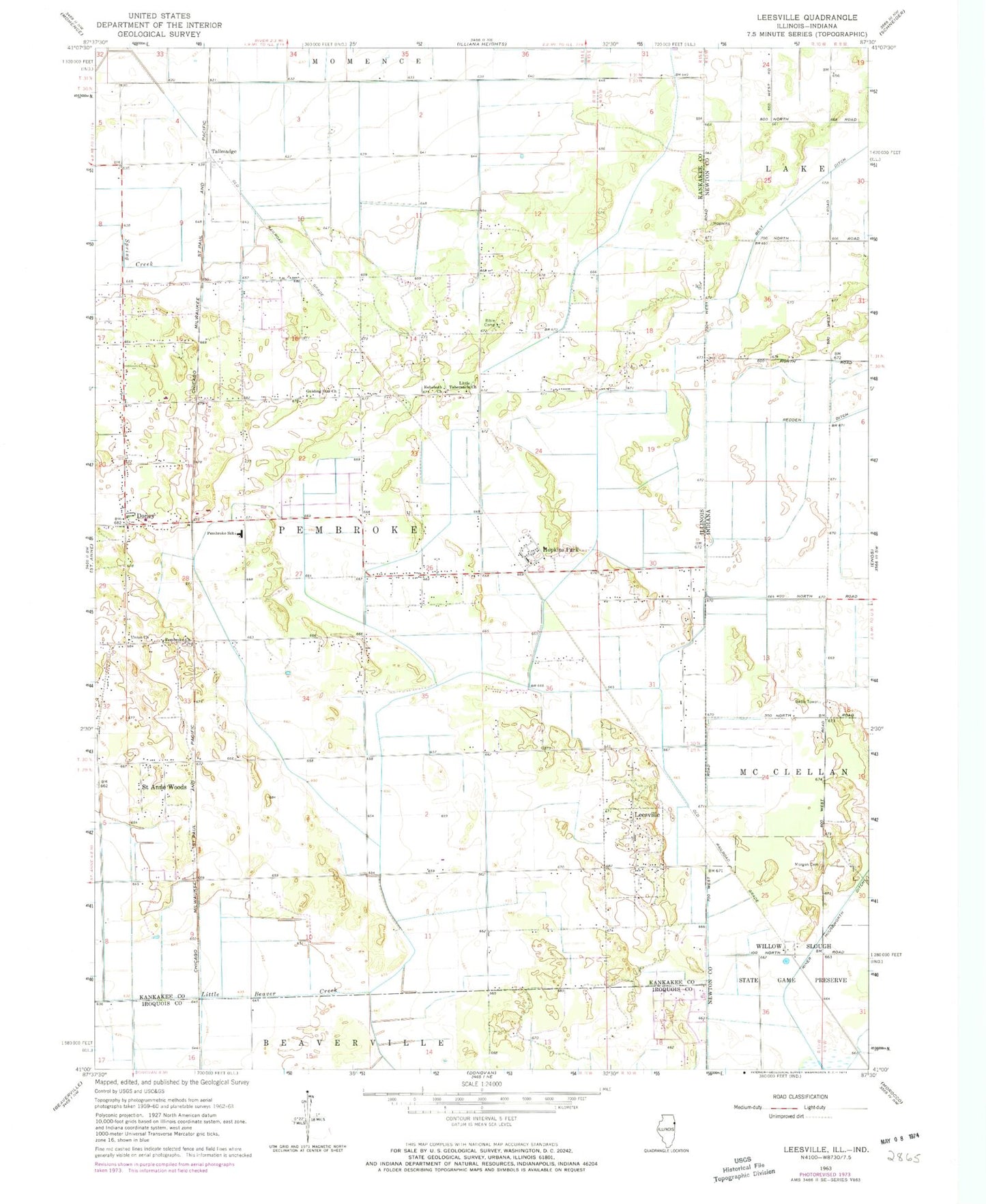
Classic USGS Leesville Illinois 7.5'x7.5' Topo Map
Couldn't load pickup availability
Historical USGS topographic quad map of Leesville in the states of Illinois, Indiana. Map scale may vary for some years, but is generally around 1:24,000. Print size is approximately 24" x 27"
This quadrangle is in the following counties: Iroquois, Kankakee, Newton.
The map contains contour lines, roads, rivers, towns, and lakes. Printed on high-quality waterproof paper with UV fade-resistant inks, and shipped rolled.
Contains the following named places: Eyler School, Hooper Branch Savanna Nature Preserve, Hopkins Park Post Office, Johnson Ditch, Kankakee National Wildlife Refuge and Conservation Area, Morgan Cemetery, North Hopkins School, Pembroke, Pembroke Township Fire Protection District, Redden Ditch, Riner Houseworth Ditch, Township of Pembroke, Village of Hopkins Park, Whittemore School, Willow Slough State Game Preserve, ZIP Code: 60958