MyTopo
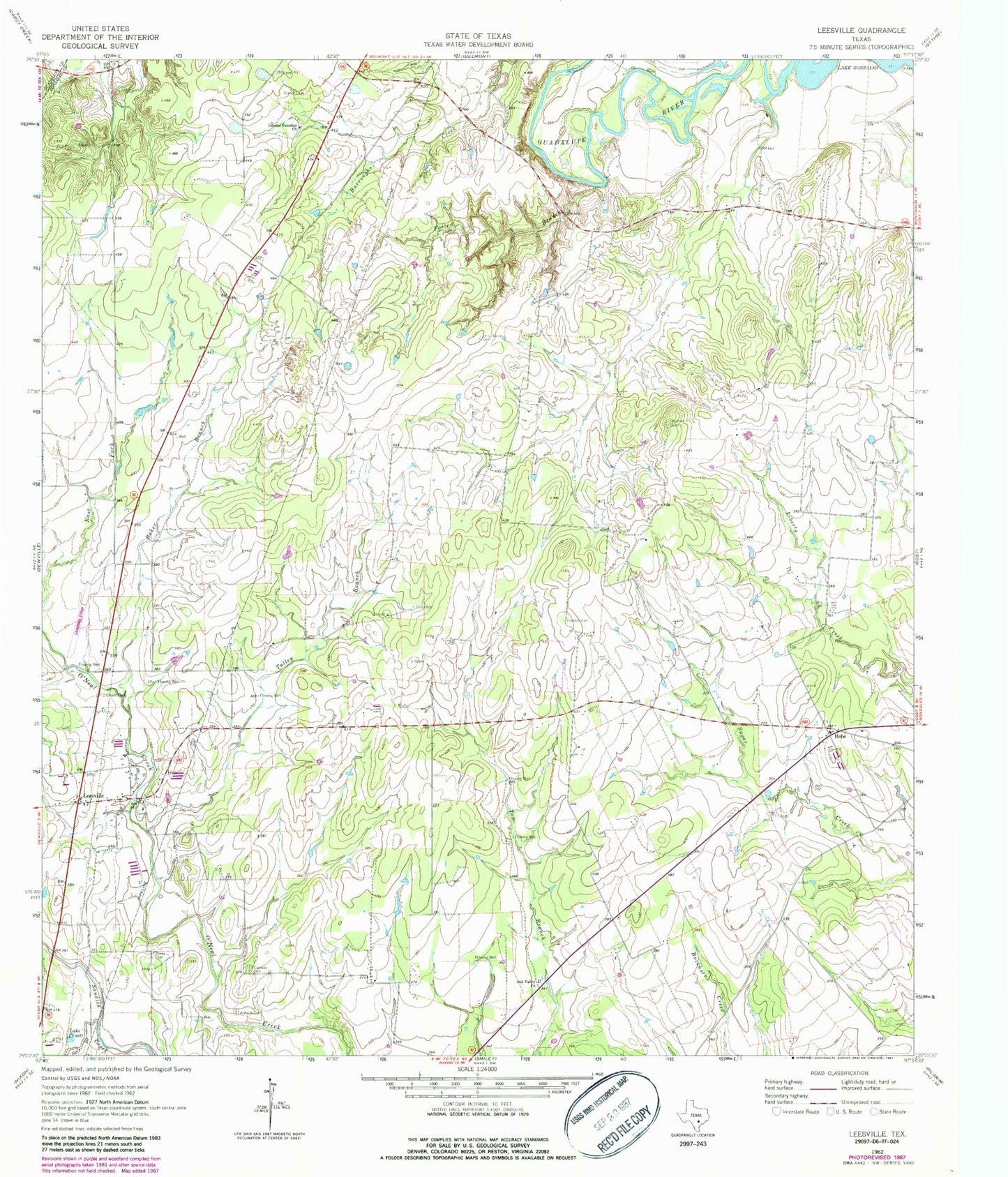
Classic USGS Leesville Texas 7.5'x7.5' Topo Map
Couldn't load pickup availability
Historical USGS topographic quad map of Leesville in the state of Texas. Map scale may vary for some years, but is generally around 1:24,000. Print size is approximately 24" x 27"
This quadrangle is in the following counties: Gonzales, Guadalupe.
The map contains contour lines, roads, rivers, towns, and lakes. Printed on high-quality waterproof paper with UV fade-resistant inks, and shipped rolled.
Contains the following named places: Antioch Cemetery, Askey Cemetery, Baker Branch, Bebe, Caraway Cemetery, Dullnig Creek, Ellis-Nance Cemetery, Foster Branch, Greater Palestine Church, Hausler Branch, Holmes Cemetery, Lake Gonzales, Lake H-4, Lake Pruett, Leesville, Leesville Post Office, Leesville Schoolhouse, Liberty Cemetery, Luling Public Library, Nixon Division, Oak Valley Church, Oneill Cemetery, Salt Branch, Stroman Cemetery, Talley Branch, ZIP Code: 78122