MyTopo
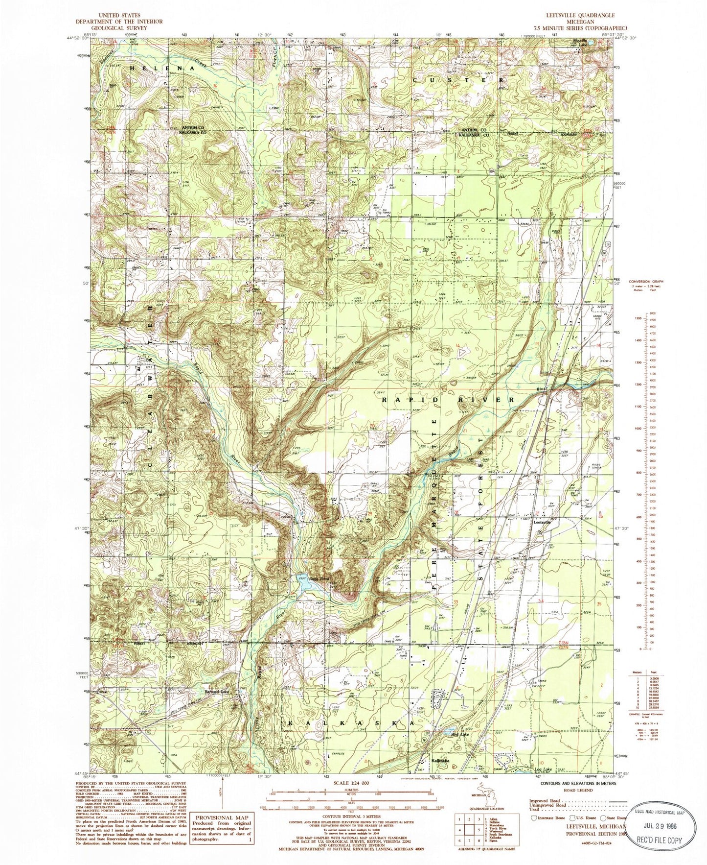
Classic USGS Leetsville Michigan 7.5'x7.5' Topo Map
Couldn't load pickup availability
Historical USGS topographic quad map of Leetsville in the state of Michigan. Map scale may vary for some years, but is generally around 1:24,000. Print size is approximately 24" x 27"
This quadrangle is in the following counties: Antrim, Kalkaska.
The map contains contour lines, roads, rivers, towns, and lakes. Printed on high-quality waterproof paper with UV fade-resistant inks, and shipped rolled.
Contains the following named places: Barber School, Barnard Lake, Bird Lake, Kalkaska United Methodist Church, Lannin School, Leetsville, Leetsville Post Office, Leetsville Station, Little Rapid River, Maplegrove Cemetery, Mayville Lake, Miller School, Rapid River Campground and Cabins, Rugg Pond, Rugg Pond Dam Historical Marker, Rugg Post Office, Township of Rapid River, Westwood Cemetery, WKLT-FM (Kalkaska), ZIP Code: 49612