MyTopo
Classic USGS Lefevre Prairie Oregon 7.5'x7.5' Topo Map
Regular price
$16.95
Regular price
Sale price
$16.95
Unit price
per
Couldn't load pickup availability
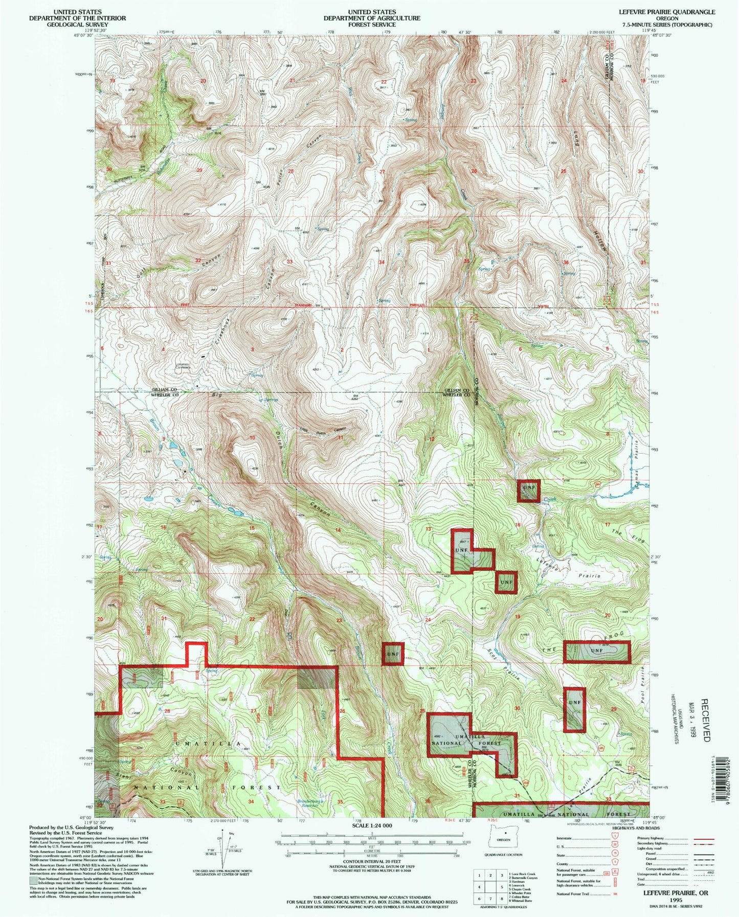
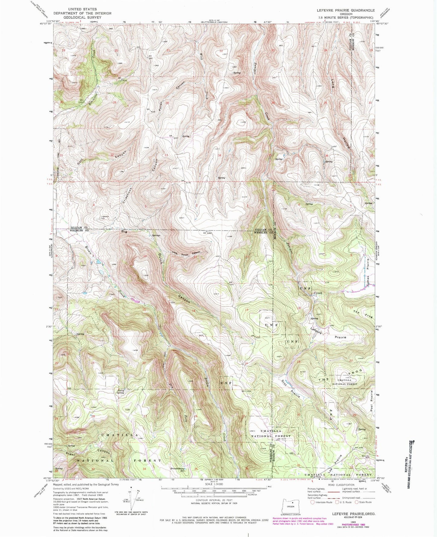
Historical USGS topographic quad map of Lefevre Prairie in the state of Oregon. Map scale may vary for some years, but is generally around 1:24,000. Print size is approximately 24" x 27"
This quadrangle is in the following counties: Gilliam, Morrow, Wheeler.
The map contains contour lines, roads, rivers, towns, and lakes. Printed on high-quality waterproof paper with UV fade-resistant inks, and shipped rolled.
Contains the following named places: Big Dutch Canyon, Brandenburg Reservoir, Crishook Canyon, Dry Fork Brown Creek, Lee Prairie, Lefevre Prairie, Little Dutch Canyon, Lonerock Cemetery, Perry Spring, Pullen Canyon, Scot Prairie, The Frog