MyTopo
Classic USGS Leflore SE Oklahoma 7.5'x7.5' Topo Map
Couldn't load pickup availability
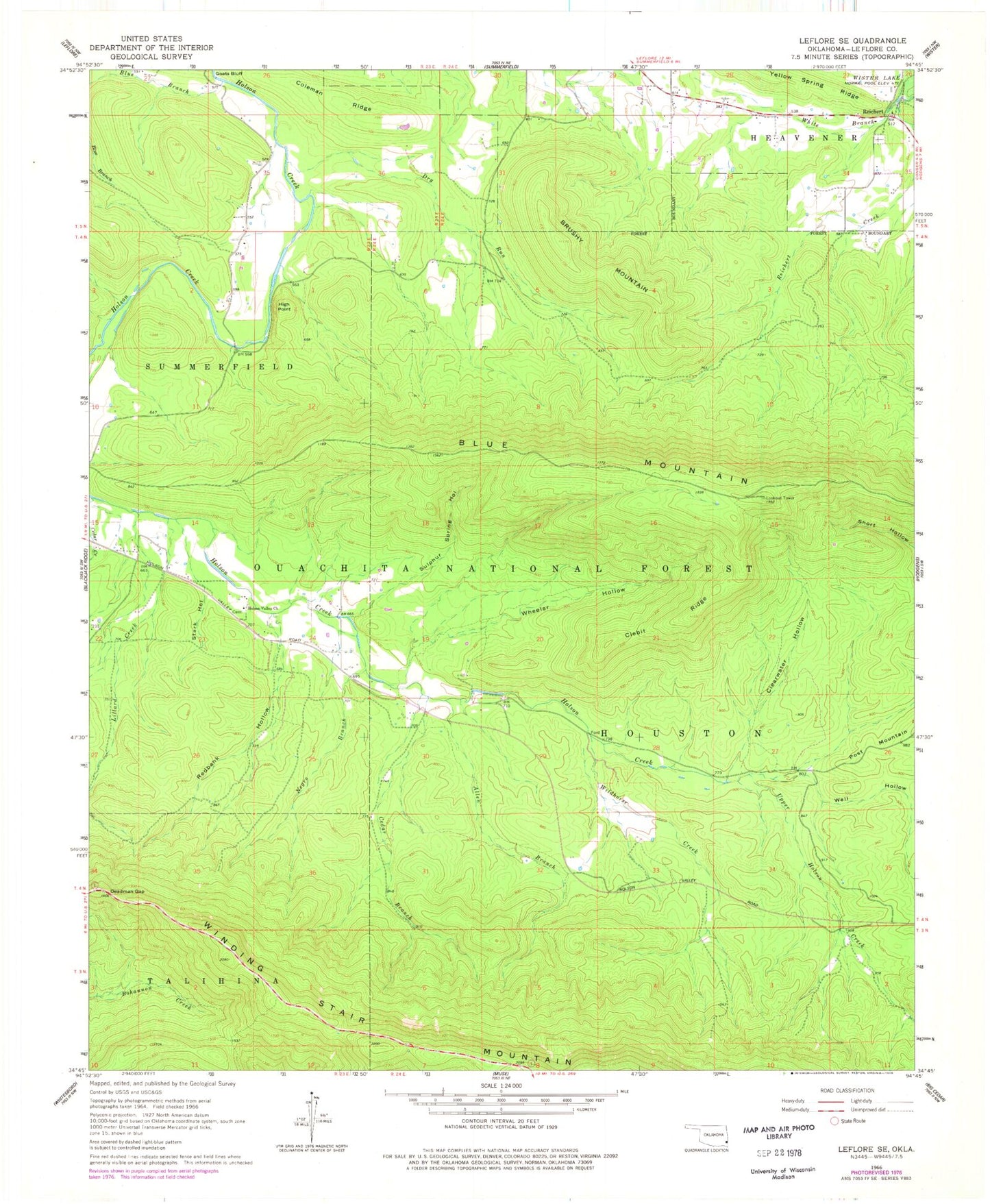
Historical USGS topographic quad map of Leflore SE in the state of Oklahoma. Typical map scale is 1:24,000, but may vary for certain years, if available. Print size: 24" x 27"
This quadrangle is in the following counties: Le Flore.
The map contains contour lines, roads, rivers, towns, and lakes. Printed on high-quality waterproof paper with UV fade-resistant inks, and shipped rolled.
Contains the following named places: Indian Nations National Scenic and Wildlife Area, Allen Branch, Blue Mountain, Britton Branch, Brushy Mountain, Cedar Branch, Clearwater Hollow, Clebit Ridge, Coleman Ridge, Deadman Gap, Dry Run, High Point, Holson Valley Church, Lillard Creek, Negro Branch, Redbank Hollow, Reichert, Stark Hollow, Sulphur Spring Hollow, Upper Holson Creek, Well Hollow, Wheeler Hollow, White Branch, Wildhorse Creek, Reichert Community Fire Association, Reichert Cemetery