MyTopo
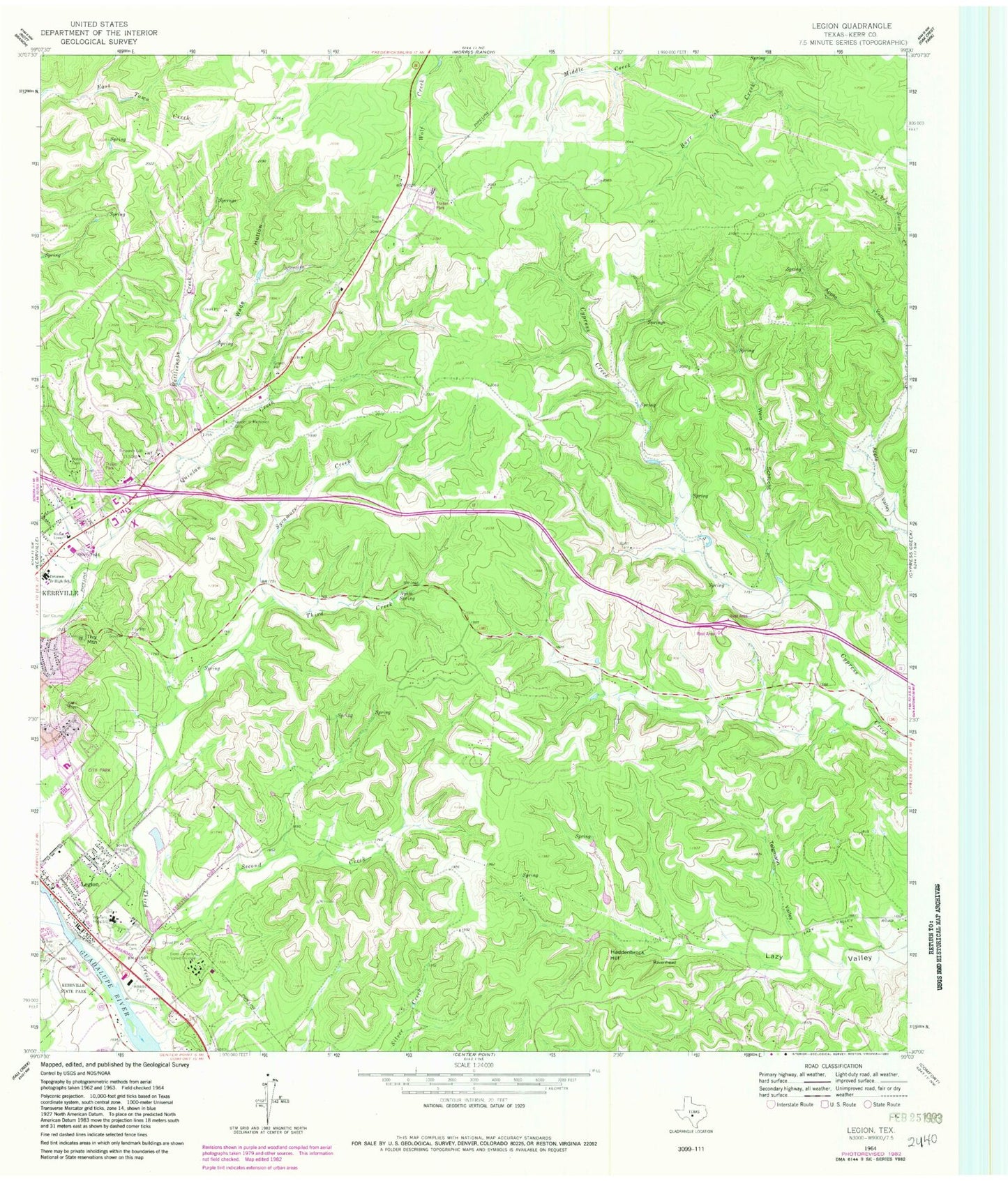
Classic USGS Legion Texas 7.5'x7.5' Topo Map
Couldn't load pickup availability
Historical USGS topographic quad map of Legion in the state of Texas. Typical map scale is 1:24,000, but may vary for certain years, if available. Print size: 24" x 27"
This quadrangle is in the following counties: Kerr.
The map contains contour lines, roads, rivers, towns, and lakes. Printed on high-quality waterproof paper with UV fade-resistant inks, and shipped rolled.
Contains the following named places: Brown Cemetery, Camp Meeting Creek, Garden of Memories Cemetery, Haddenbrock Hill, Legion, Lions Camp for Crippled Children, Peterson Junior High School, Rattlesnake Creek, Ravenhead, Second Creek, Telgmann Valley, Third Creek, Tivy Mountain, Tivy Mountain Cemetery, Wade Hollow, Wein Schlucht, Vamc Heliport, Kerrville Lake, Kerrville Division, Cypress Springs, Daniels Elementary School, Kerrville City Park, Kerrville - Schreiner State Park Trail, Kerrville Fire Department Station 3, Kerrville National Cemetery, Kerrville Veterans Affairs Hospital


