MyTopo
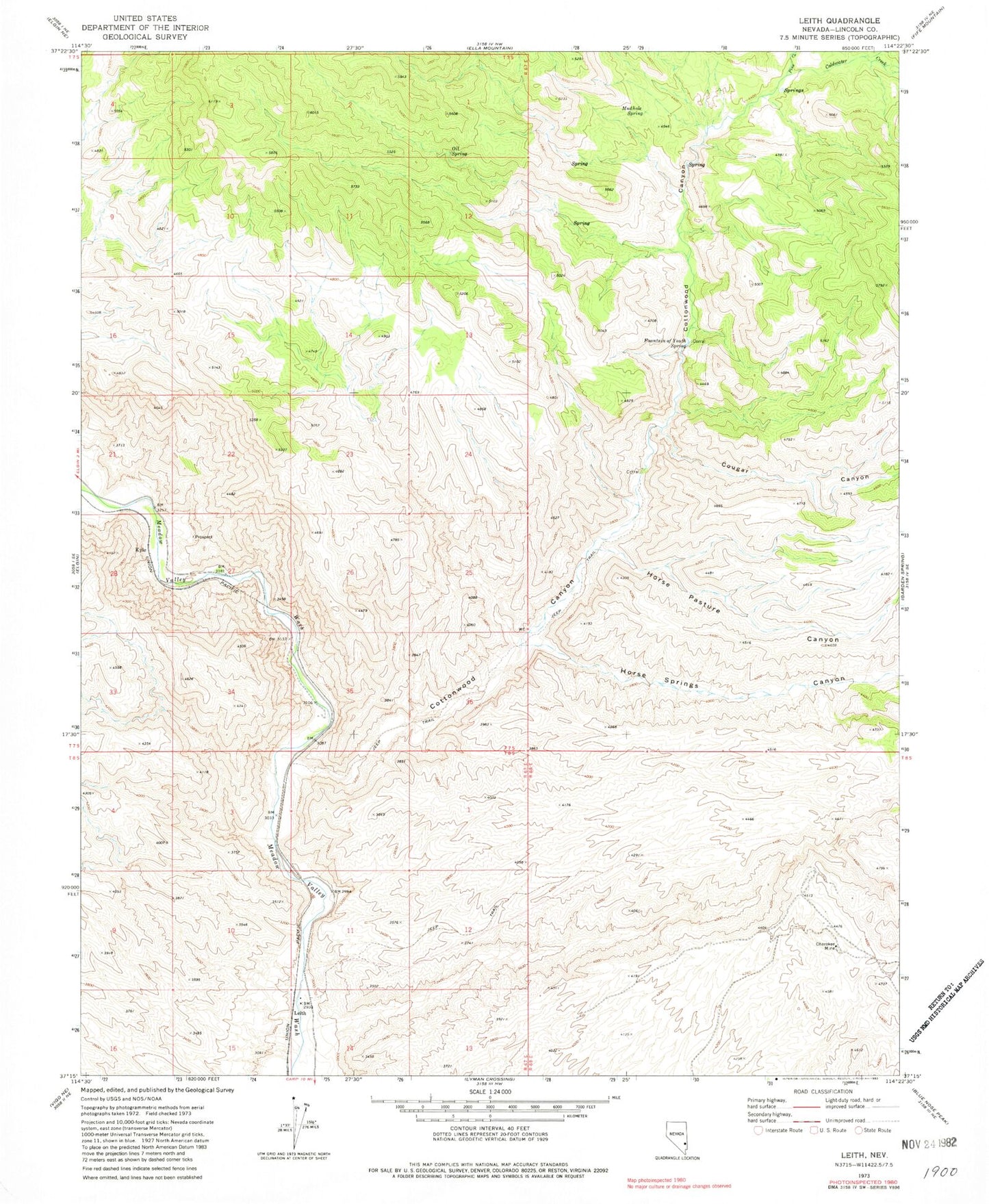
Classic USGS Leith Nevada 7.5'x7.5' Topo Map
Couldn't load pickup availability
Historical USGS topographic quad map of Leith in the state of Nevada. Map scale may vary for some years, but is generally around 1:24,000. Print size is approximately 24" x 27"
This quadrangle is in the following counties: Lincoln.
The map contains contour lines, roads, rivers, towns, and lakes. Printed on high-quality waterproof paper with UV fade-resistant inks, and shipped rolled.
Contains the following named places: Bradshaw Ranch, Cherokee Mine, Clover Mountains Wilderness, Coldwater Creek, Cottonwood Canyon, Cougar Canyon, Fountain of Youth Spring, Horse Pasture Canyon, Horse Springs Canyon, Kiernan, Kiernan Post Office, Kiernan Ranch, Kyle, Leith, Leith Canyon, Mudhole Spring, Oil Spring, Pine Creek, Viola