MyTopo
Classic USGS Lelia Lake Texas 7.5'x7.5' Topo Map
Regular price
$16.95
Regular price
Sale price
$16.95
Unit price
per
Couldn't load pickup availability
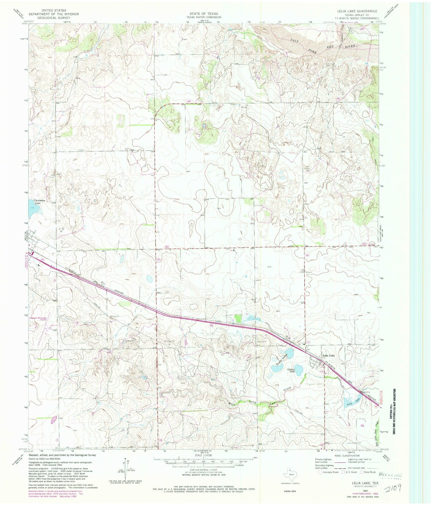
Historical USGS topographic quad map of Lelia Lake in the state of Texas. Map scale may vary for some years, but is generally around 1:24,000. Print size is approximately 24" x 27"
This quadrangle is in the following counties: Donley.
The map contains contour lines, roads, rivers, towns, and lakes. Printed on high-quality waterproof paper with UV fade-resistant inks, and shipped rolled.
Contains the following named places: Cattail Lake, Donley County, Johnson Lake, Lelia Lake, Lelia Lake Census Designated Place, Playa Lakes Wildlife Management Area - Taylor Unit, Saddlers Creek, Smiley Johnson Municipal Airport/Bass Field, Taylor Lakes, ZIP Code: 79240