MyTopo
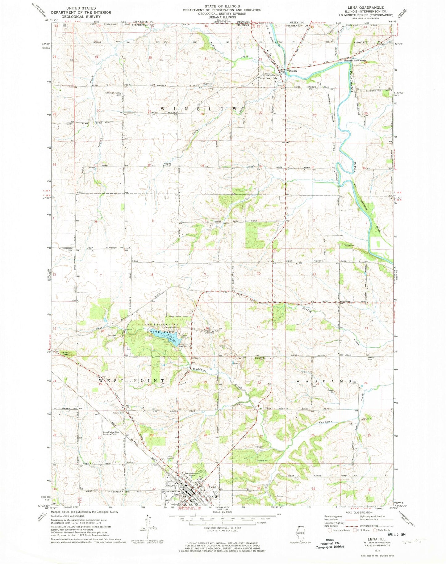
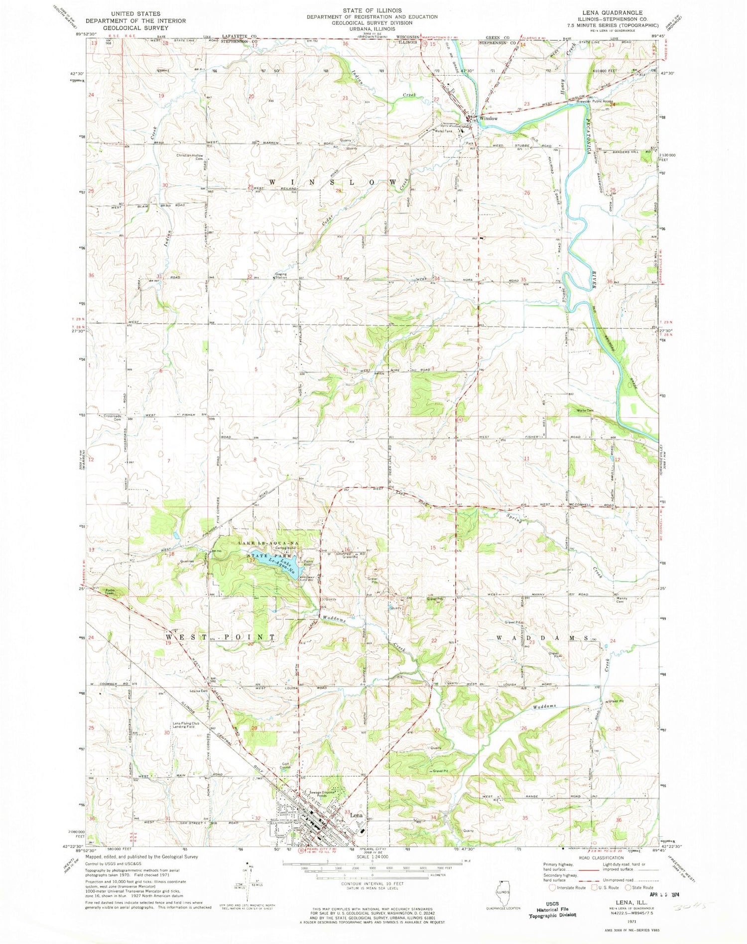
Classic USGS Lena Illinois 7.5'x7.5' Topo Map
Couldn't load pickup availability
Historical USGS topographic quad map of Lena in the state of Illinois. Map scale may vary for some years, but is generally around 1:24,000. Print size is approximately 24" x 27"
This quadrangle is in the following counties: Stephenson.
The map contains contour lines, roads, rivers, towns, and lakes. Printed on high-quality waterproof paper with UV fade-resistant inks, and shipped rolled.
Contains the following named places: Albee School, Amity Church, Brewster Public Access, Cedar Creek, Christian Hollow Cemetery, Christian Hollow Church, Crossroads Cemetery, Crossroads School, Defiance School, Eells School, Excelsior School, Fairview School, Fritsch Quarry, Gage School, Good Shepherd Lutheran Church, Honey Creek, Indian Creek, Kennedy School, Kramer Airport, Lake Le-Aqua-Na, Lake Le-Aqua-Na Dam, Lake Le-Aqua-Na State Park, Leamons Ambulance Service, Lena, Lena Church of the Brethren, Lena Elementary School, Lena Fire Protection District, Lena Flying Club Landing Field, Lena Police Department, Lena United Methodist Church, Lena Water Tower, Lena-Winslow High School, Lena-Winslow Junior High School, Lincoln School, Louisa Cemetery, Louisa School, Manny Cemetery, Manny School, Mitek Airport, Pleasant Hill School, Red Shed Field, Robey Waite Cemetery, Saint Joseph Catholic Church, Saint Joseph Cemetery, Township of Waddams, Township of West Point, Township of Winslow, Twelve Oaks Farm, Village of Lena, Village of Winslow, Waddams Grove School, Wales School, Winslow, Winslow Cemetery, Winslow Elementary School, Winslow Post Office, Winslow Volunteer Fire Department, ZIP Codes: 61048, 61089


