MyTopo
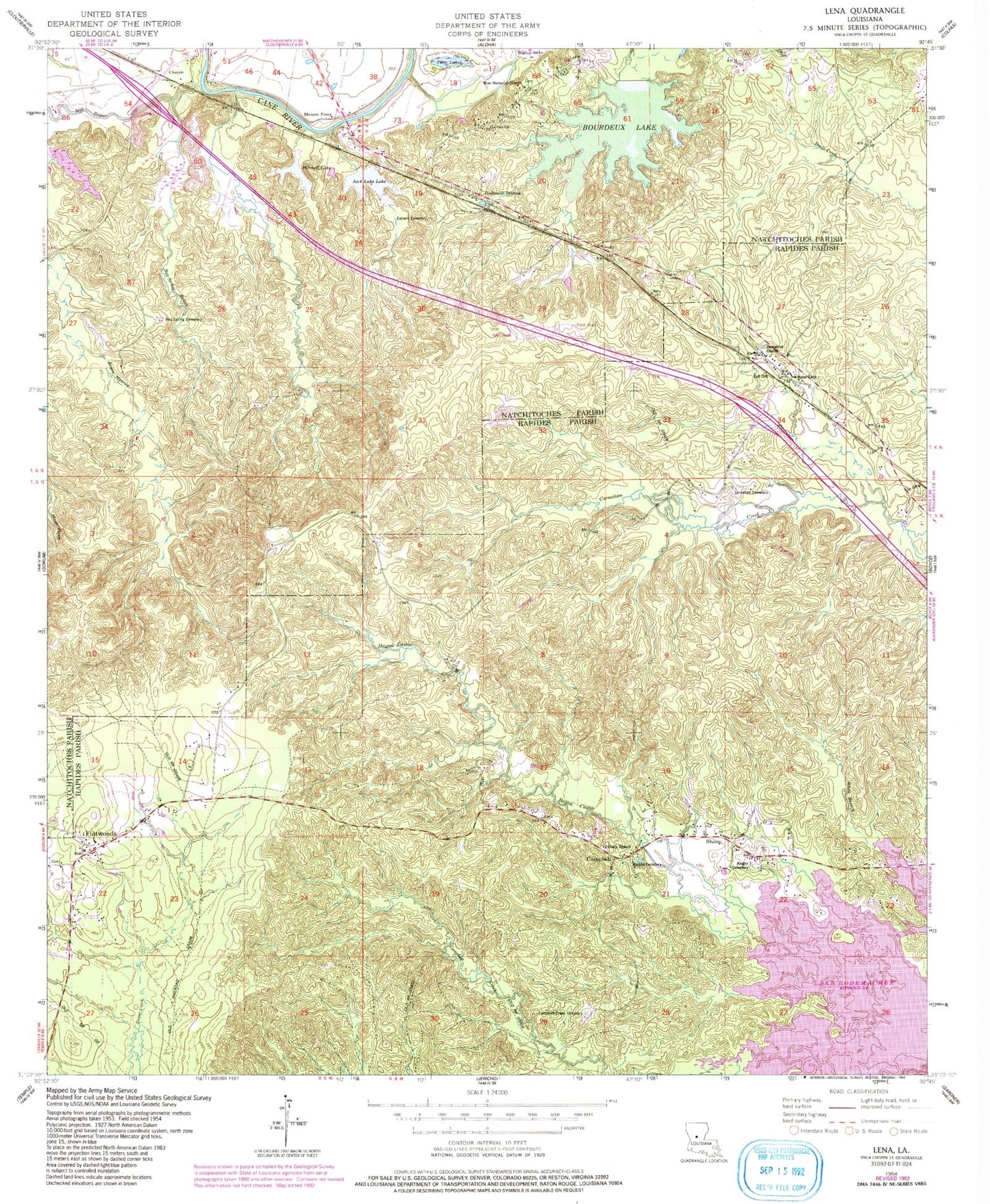
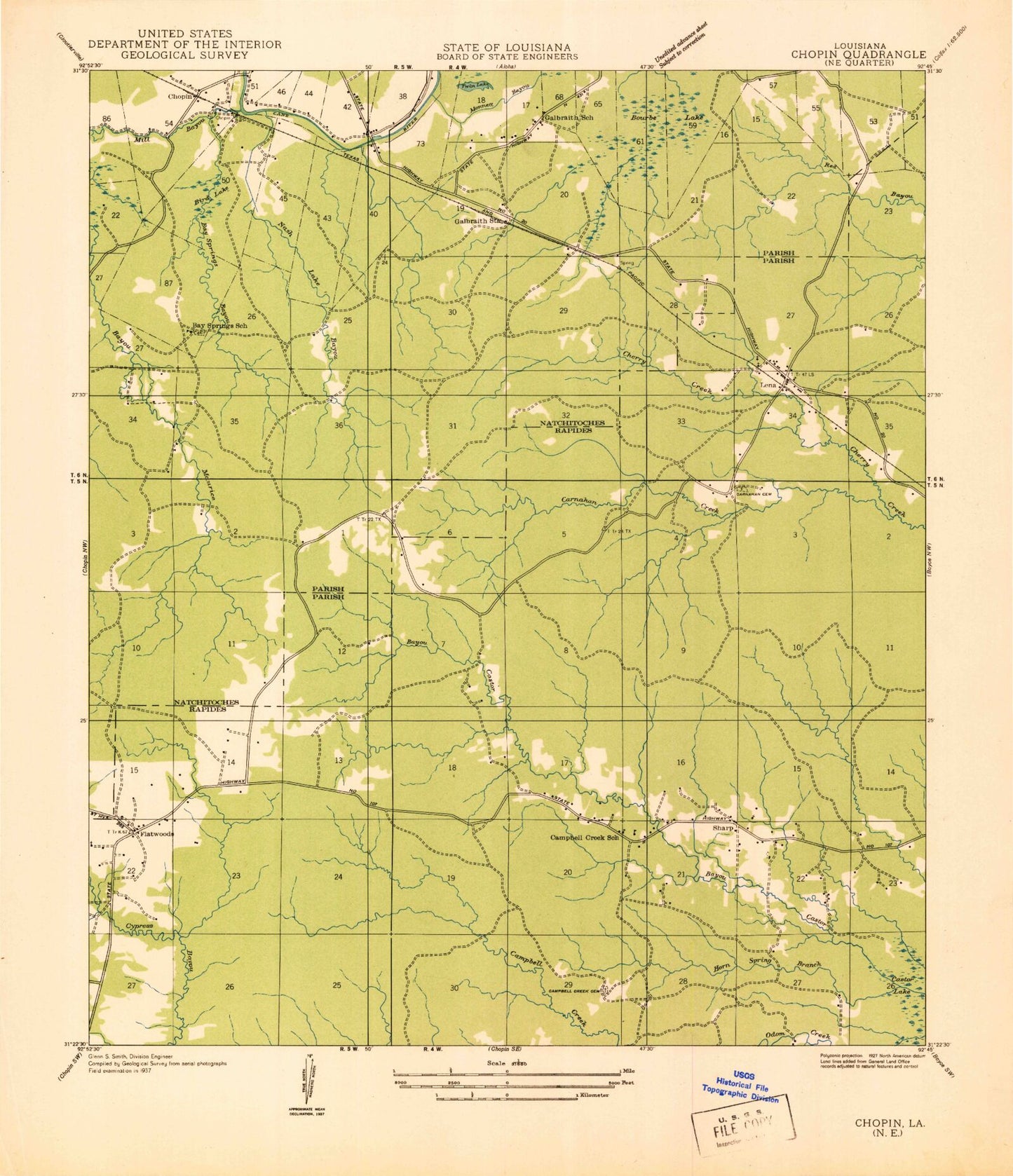
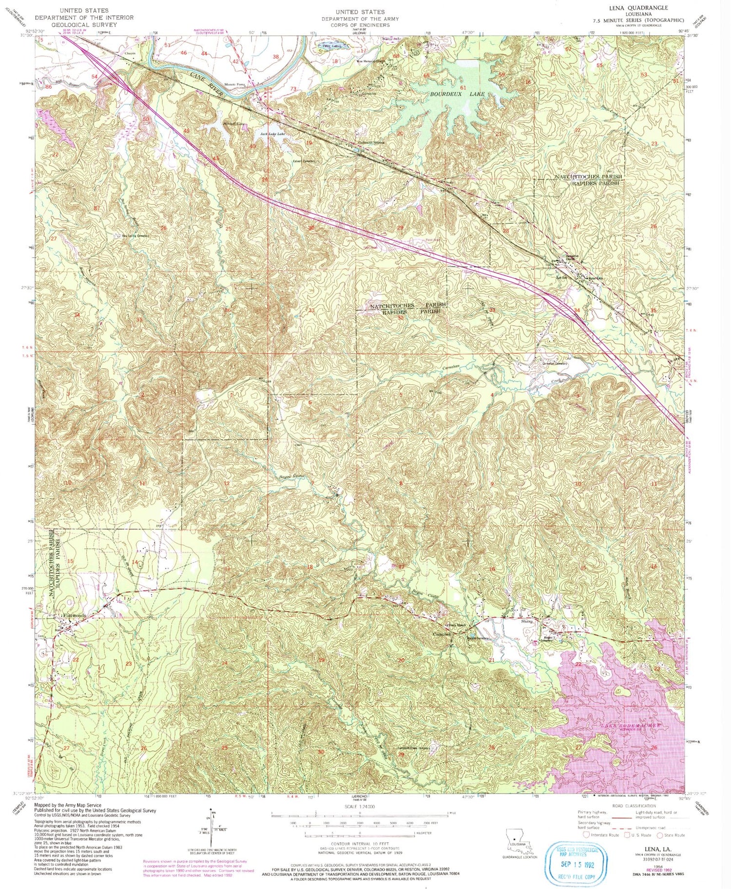
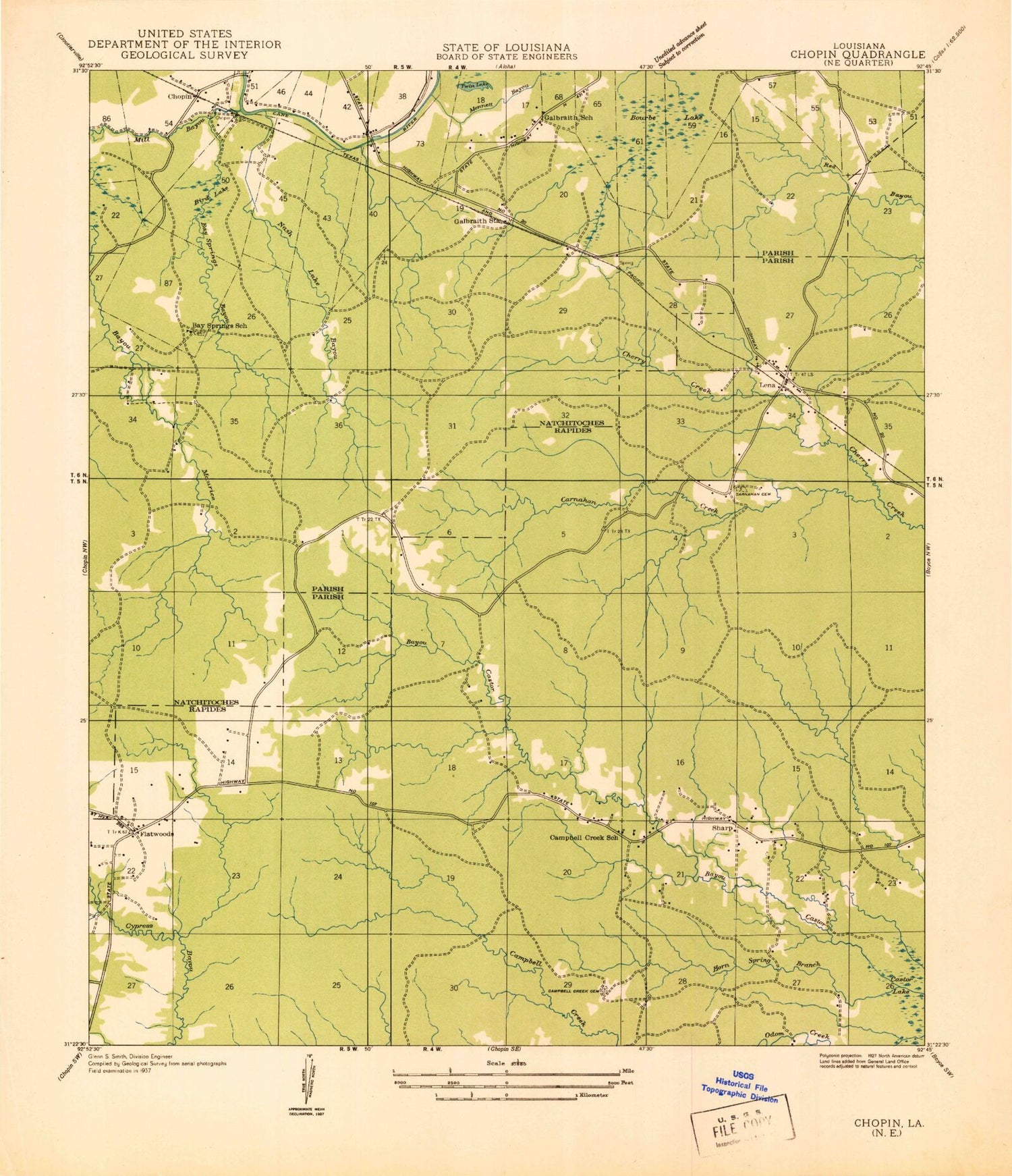
Classic USGS Lena Louisiana 7.5'x7.5' Topo Map
Couldn't load pickup availability
Historical USGS topographic quad map of Lena in the state of Louisiana. Map scale may vary for some years, but is generally around 1:24,000. Print size is approximately 24" x 27"
This quadrangle is in the following counties: Natchitoches, Rapides.
The map contains contour lines, roads, rivers, towns, and lakes. Printed on high-quality waterproof paper with UV fade-resistant inks, and shipped rolled.
Contains the following named places: Bay Spring Bayou, Bay Spring Cemetery, Bay Springs Church, Bayou Castor, Bird Lake, Boudreaux Lake, Boudreux Lake Dam, Calvert Cemetery, Campbell, Campbell Creek Cemetery, Caney Branch, Carnahan Cemetery, Cherry Creek, Chopin, Chopin Plantation, Chopin Post Office, Damascus Church, Dogwood School, Flatwoods, Flatwoods Church, Flatwoods Post Office, Flatwoods School, Flatwoods Volunteer Fire Department Station 1, Flatwoods Volunteer Fire Department Station 3, Galbraith, Galbraith Oil Field, Galbraith School, Galbraith Station, Holy Family Church, Horn Spring Branch, Jack Luke Lake, Knight Cemetery, Lena, Lena Post Office, McAlpine Hill, Mill Bayou, Mitchell Lake, Monett Ferry, Monnett Ferry Hill, Nash Lake, Odom Creek, Oil Well Lake, Pierre Deboute School, Sharp, Sharp Church, Twin Lakes, Watkin Cemetery, Willow Lake, Wise Memorial Church, ZIP Code: 71447


