MyTopo
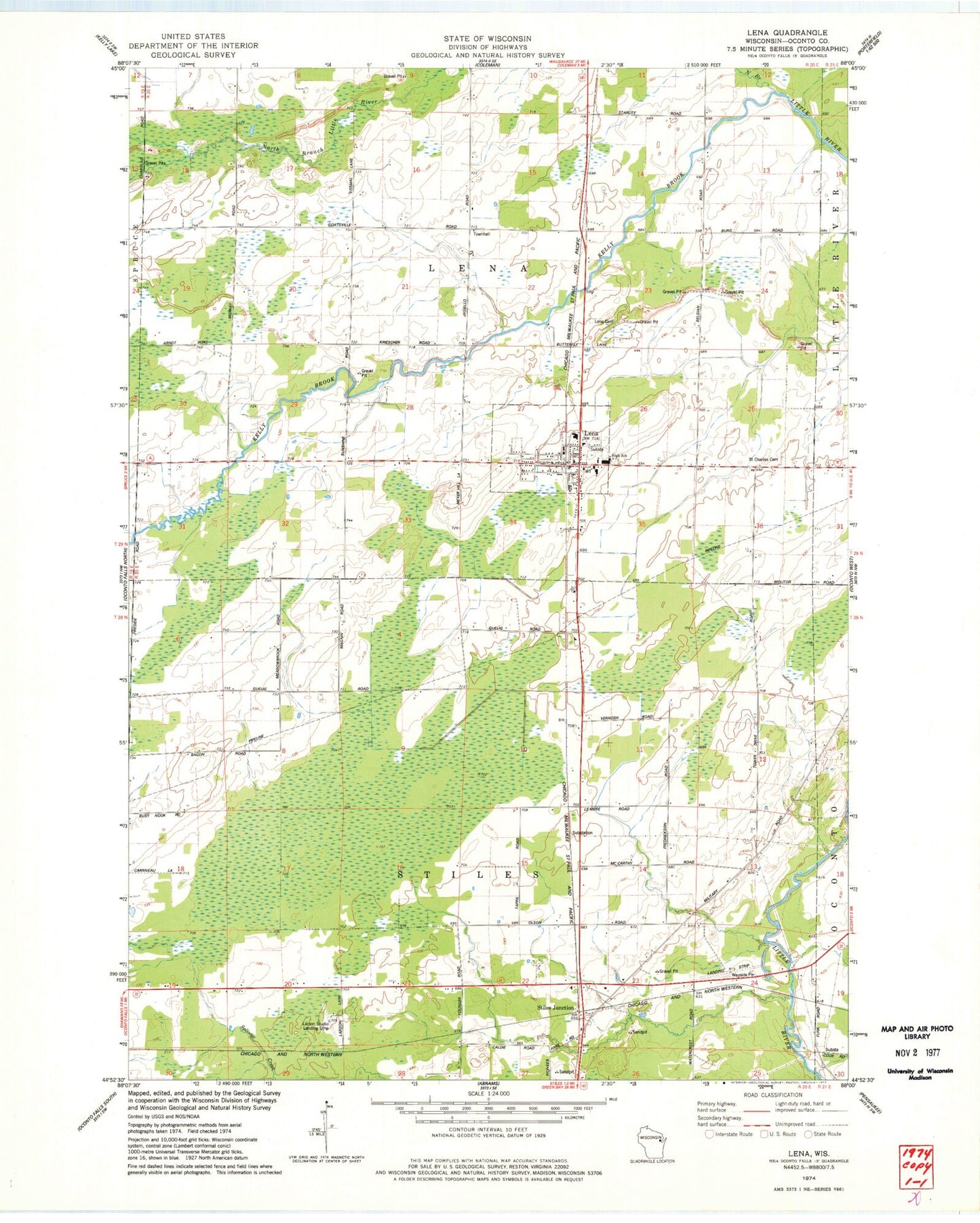
Classic USGS Lena Wisconsin 7.5'x7.5' Topo Map
Couldn't load pickup availability
Historical USGS topographic quad map of Lena in the state of Wisconsin. Map scale may vary for some years, but is generally around 1:24,000. Print size is approximately 24" x 27"
This quadrangle is in the following counties: Oconto.
The map contains contour lines, roads, rivers, towns, and lakes. Printed on high-quality waterproof paper with UV fade-resistant inks, and shipped rolled.
Contains the following named places: Birch Grove School, Busy School, Dolata Airport, Kelly Brook, Larson Studio Airport, Learn Charter School, Lena, Lena Cemetery, Lena Elementary School, Lena Middle - High School, Lena Middle School, Lena Police Department, Lena Post Office, Lena Volunteer Fire Department, Lena Wastewater Treatment Facility, Maranatha Seventh - Day Adventist Christian School, Matravers Landing Field, Meadow Brook School, North Branch Little River, Pershing School, Saint Charles Cemetery, Stiles Junction, Stiles Junction School, Sunshine School, Town of Lena, Town of Stiles, Village of Lena, ZIP Code: 54139