MyTopo
Classic USGS Lenoir City Tennessee 7.5'x7.5' Topo Map
Couldn't load pickup availability
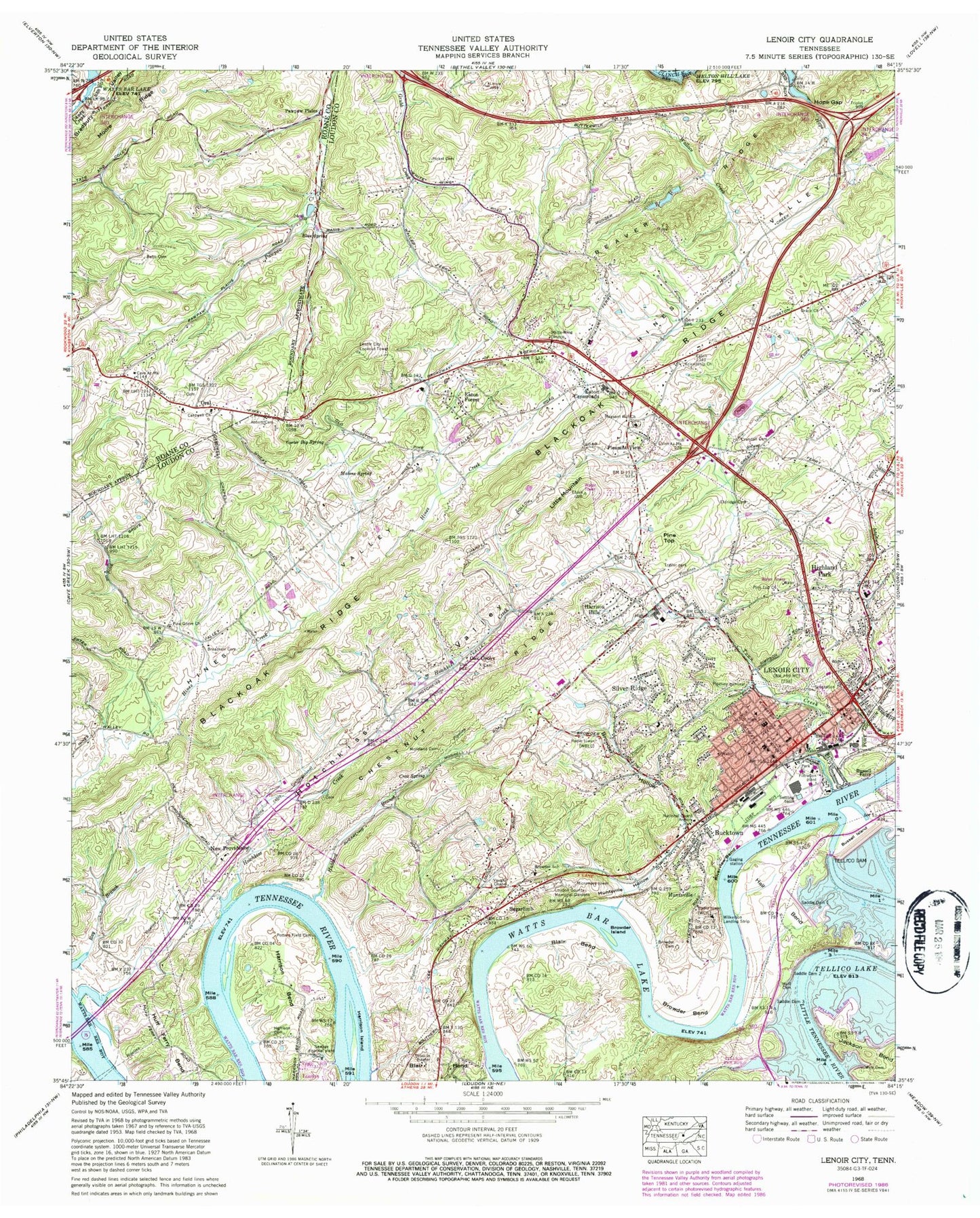
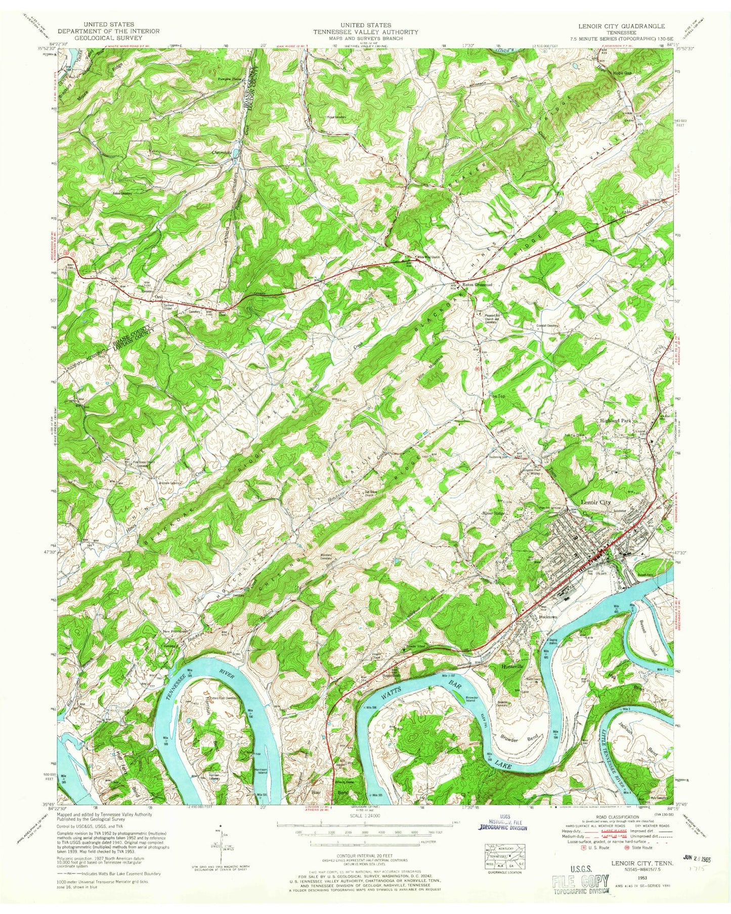
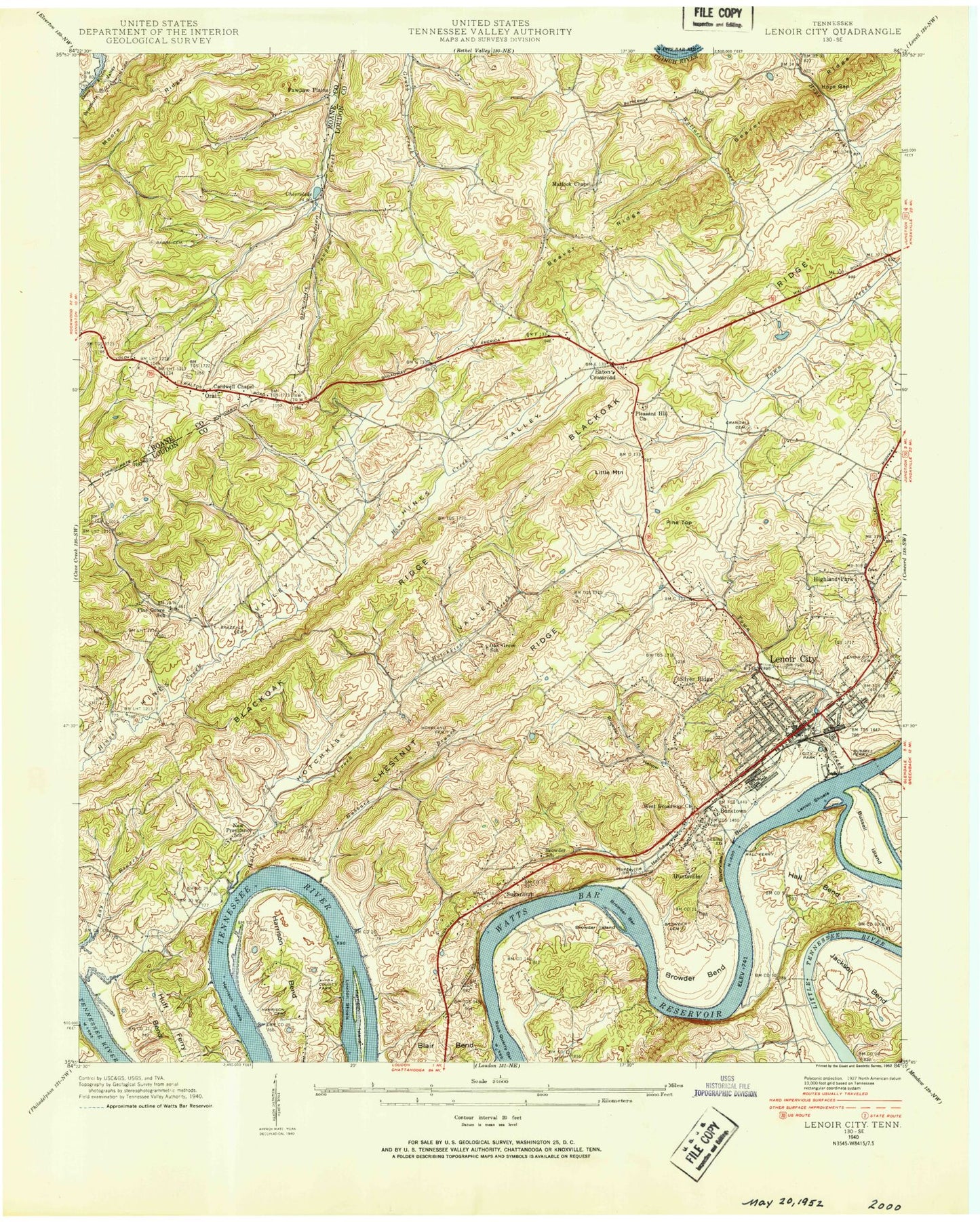
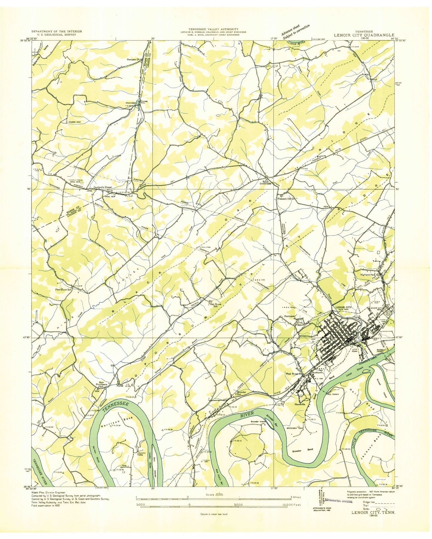
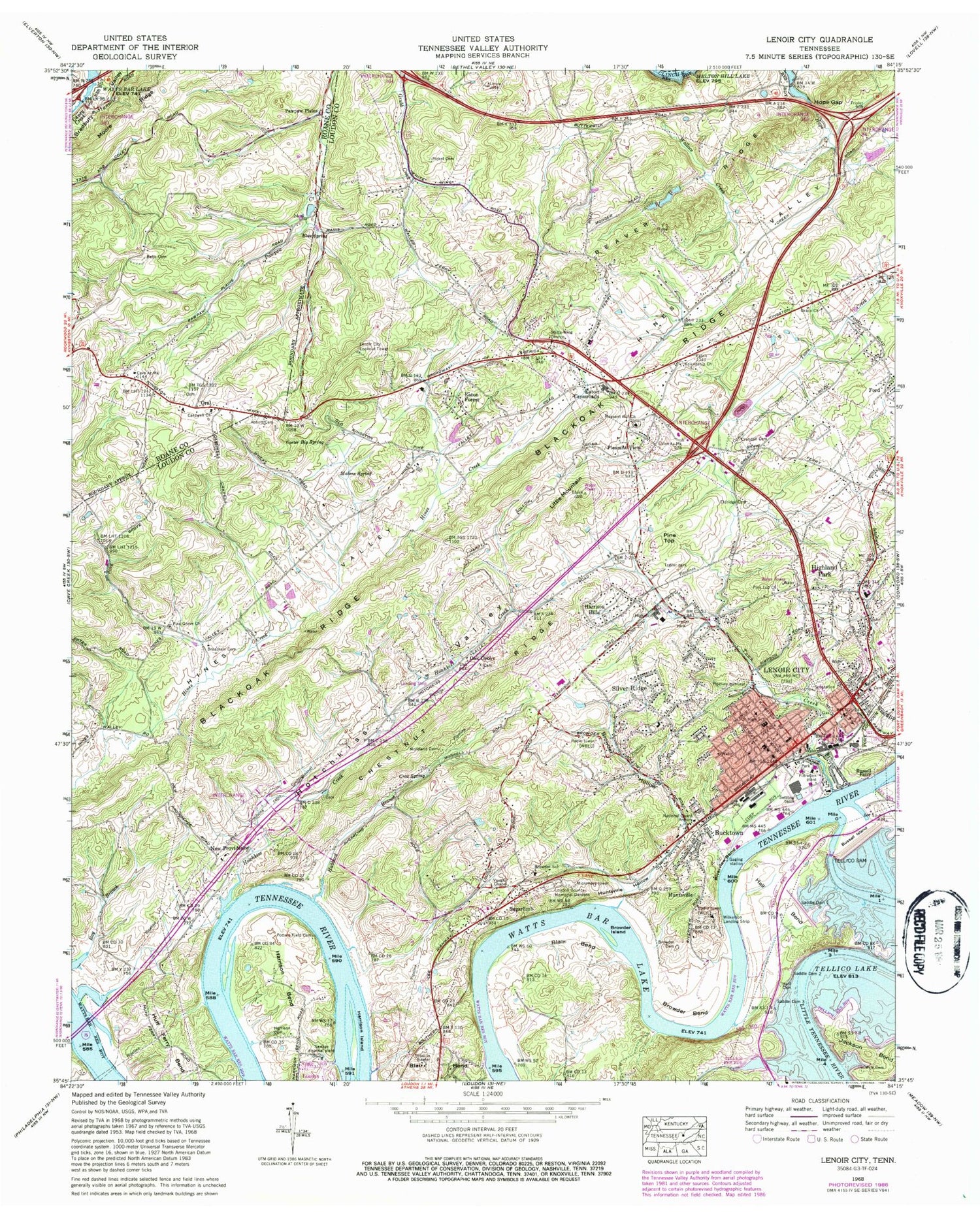
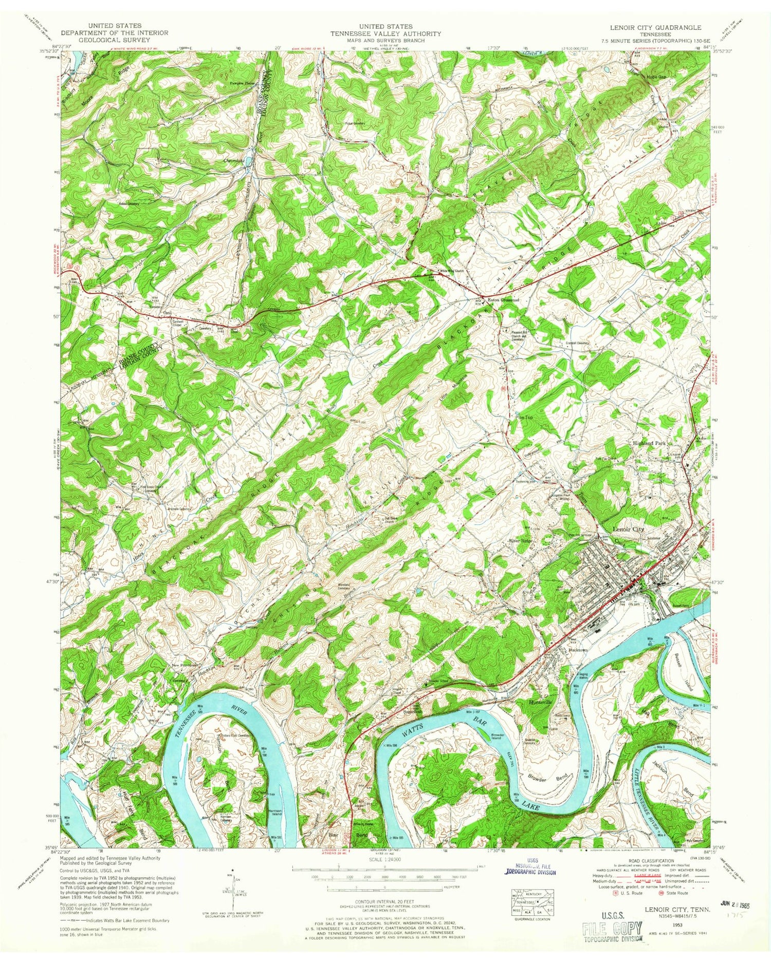
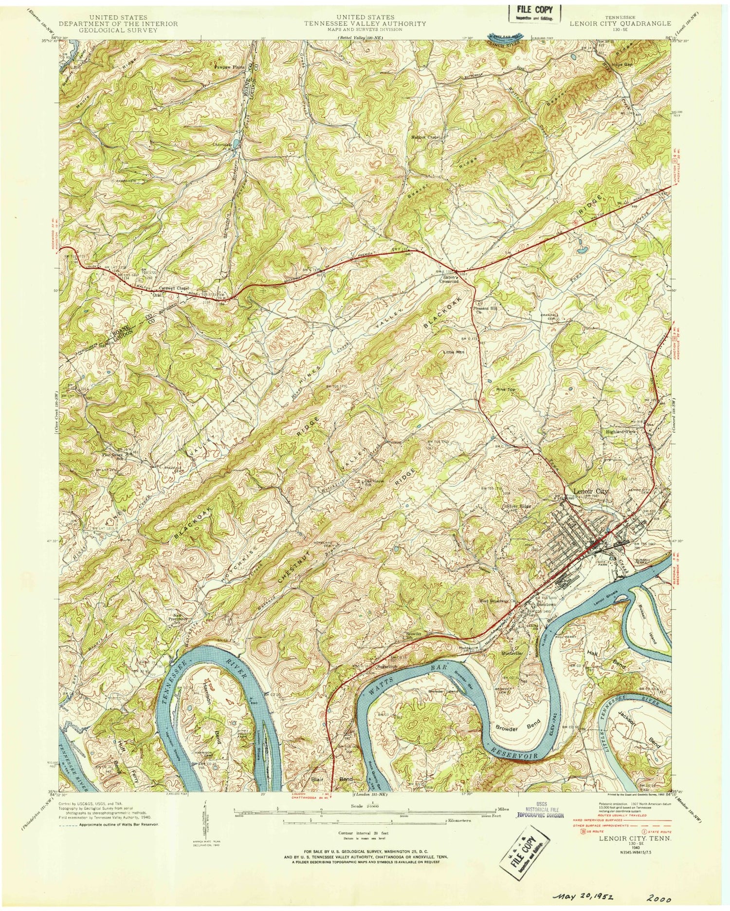
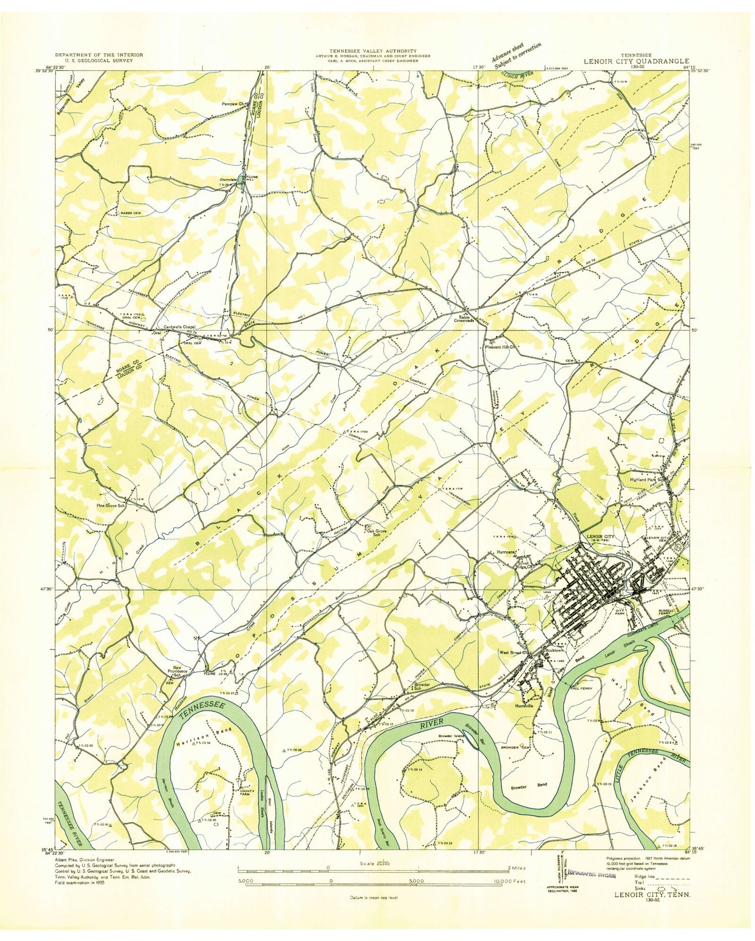
Historical USGS topographic quad map of Lenoir City in the state of Tennessee. Typical map scale is 1:24,000, but may vary for certain years, if available. Print size: 24" x 27"
This quadrangle is in the following counties: Loudon, Roane.
The map contains contour lines, roads, rivers, towns, and lakes. Printed on high-quality waterproof paper with UV fade-resistant inks, and shipped rolled.
Contains the following named places: Little Tennessee River, Huff Ferry Bend, Tellico Dam, Wallace Creek, Wyly Cemetery, Blue Spring, Browder Bend, Browder Cemetery, Browder Hollow, Browder School, Bucktown, Carter Big Spring, Chestnut Ridge, Crandall Cemetery, Crox Spring, Eaton Crossroads, Eaton Forest, Eldridge Cemetery, Friendship Church, Grace Church, Hall Bend, Harrison Bend, Harrison Cemetery, Harrison Hills, Harrison Island, Highland Park, Hope Gap, Hotchkiss Creek, Hotchkiss Valley, Hubbard Branch, Huff Cemetery, Huntsville, Huntsville Hollow, Jackson Bend, Jackson Cemetery, Lenoir City, Little Mountain, Loudon County Memorial Gardens Cemetery, Malone Spring, Moore Ridge, Moreland Cemetery, Oral, Pickel Cemetery, Pine Grove Church, Pine Top, Pine Top Church, Pleasant Hill Church, Pleasant View, Potters Field Cemetery, Riverview Bend, Wilkerson Field (historical), Sugarlimb, Town Creek, Vaughn Chapel, White Wing Church of the Nazarene, Abbott Cemetery, Babb Cemetery, Breazeale Cemetery, Browder Island, Bussell Ferry, Bussell Island, Cardwell Church, Saddle Dam 3, Saddle Dam 2, Saddle Dam 1, Silver Ridge, Browder Bar, Chestnut Ridge, Eaton, Eatons Elementary School, Highland Park Elementary School, Hall Ferry (historical), Lenoir City Cemetery, Lenior City Area Recreation Complex, Lenoir City Industrial Park, Loudon Shoals, Loudon County Farm (historical), Lenoir City Church, Loudon County Vocational Center, Lenoir City Shopping Center, Lenoir City City Hall, Lenoir City Public Library, Lenoir City Plaza Shopping Center, Lenoir City Middle School, Lenoir City Elementary School, Lenoir City High School, North Middle School, Poplar Springs Recreation Area, Pine Grove, Pine Grove School (historical), Rock Quarry Bar, Rutain Park, Rock sjprings, Rock Springs Park, Saltpeter Ridge, Thurmans Dock, Twin Lakes Plaza Shopping Center, Vancouver (historical), Oak Grove School (historical), Cherrolake, New Providence, Oak Grove, Pawpaw Plains, Oral Cemetery, Pawpaw Church, WLIL-AM (Lenoir City), WBLC-AM (Lenoir City), WLIL-FM (Lenoir City), Beason Chapel Missionary Church, Bell Avenue Church, Browders Ferry (historical), Central United Methodist Church, Church of God of Prophecy, Calvary Baptist Church, Church of Christ, Community Baptist Church, Creseys Shoals, Creseys Island (historical), Eatonwood Church of God, First Baptist Church, First Church of the Nazarene, First Church of God, Highland Park Baptist Church, Lighthouse Baptist Church, Lenoirs Shoals, Lenoir City Primitive Baptist Church, Lenoir Mill, Moores Ferry (historical), New Providence Baptist Church, Nelson Street Baptist Church, New Providence Special Education Center, Riverview Baptist Church, Second Baptist Church, Sharp Estates, Sixth Avenue Church of God, Silver Ridge Baptist Church, Tabernacle Baptist Church, Trinity United Methodist Church, Victory Temple Church, West Broadway Baptist Church, Zion MIssionary Baptist Church, Oral Baptist Church, Lenoir City Lookout Tower, Lenoir City Division (historical), Lenoir City Post Office, City of Lenoir City, Commissioner District 2, Commissioner District 5, Lenoir City Fire Department Station 1, Lenoir City Fire Department Station 2, Loudon County Fire Rescue Station 1 - Sugarlimb, Loudon County Fire Rescue Station 2, Big T Airport, Will A Hildreth Farm Airport, Cox Farm Airport, Fort Loudoun Medical Center, Priority Ambulance of Lenoir City, Lenoir City Fire Department, Lenoir Police Department, Little Tennessee River, Huff Ferry Bend, Tellico Dam, Wallace Creek, Wyly Cemetery, Blue Spring, Browder Bend, Browder Cemetery, Browder Hollow, Browder School, Bucktown, Carter Big Spring, Chestnut Ridge, Crandall Cemetery, Crox Spring, Eaton Crossroads, Eaton Forest, Eldridge Cemetery, Friendship Church, Grace Church, Hall Bend, Harrison Bend, Harrison Cemetery, Harrison Hills, Harrison Island, Highland Park, Hope Gap, Hotchkiss Creek, Hotchkiss Valley, Hubbard Branch, Huff Cemetery, Huntsville, Huntsville Hollow, Jackson Bend, Jackson Cemetery, Lenoir City, Little Mountain, Loudon County Memorial Gardens Cemetery, Malone Spring, Moore Ridge, Moreland Cemetery, Oral, Pickel Cemetery, Pine Grove Church, Pine Top, Pine Top Church, Pleasant Hill Church, Pleasant View, Potters Field Cemetery, Riverview Bend, Wilkerson Field (historical), Sugarlimb, Town Creek, Vaughn Chapel, White Wing Church of the Nazarene, Abbott Cemetery, Babb Cemetery, Breazeale Cemetery, Browder Island, Bussell Ferry, Bussell Island, Cardwell Church, Saddle Dam 3, Saddle Dam 2, Saddle Dam 1, Silver Ridge, Browder Bar, Chestnut Ridge, Eaton, Eatons Elementary School, Highland Park Elementary School, Hall Ferry (historical), Lenoir City Cemetery, Lenior City Area Recreation Complex, Lenoir City Industrial Park, Loudon Shoals, Loudon County Farm (historical)
