
MyTopo
Classic USGS Lenox Georgia 7.5'x7.5' Topo Map
Couldn't load pickup availability
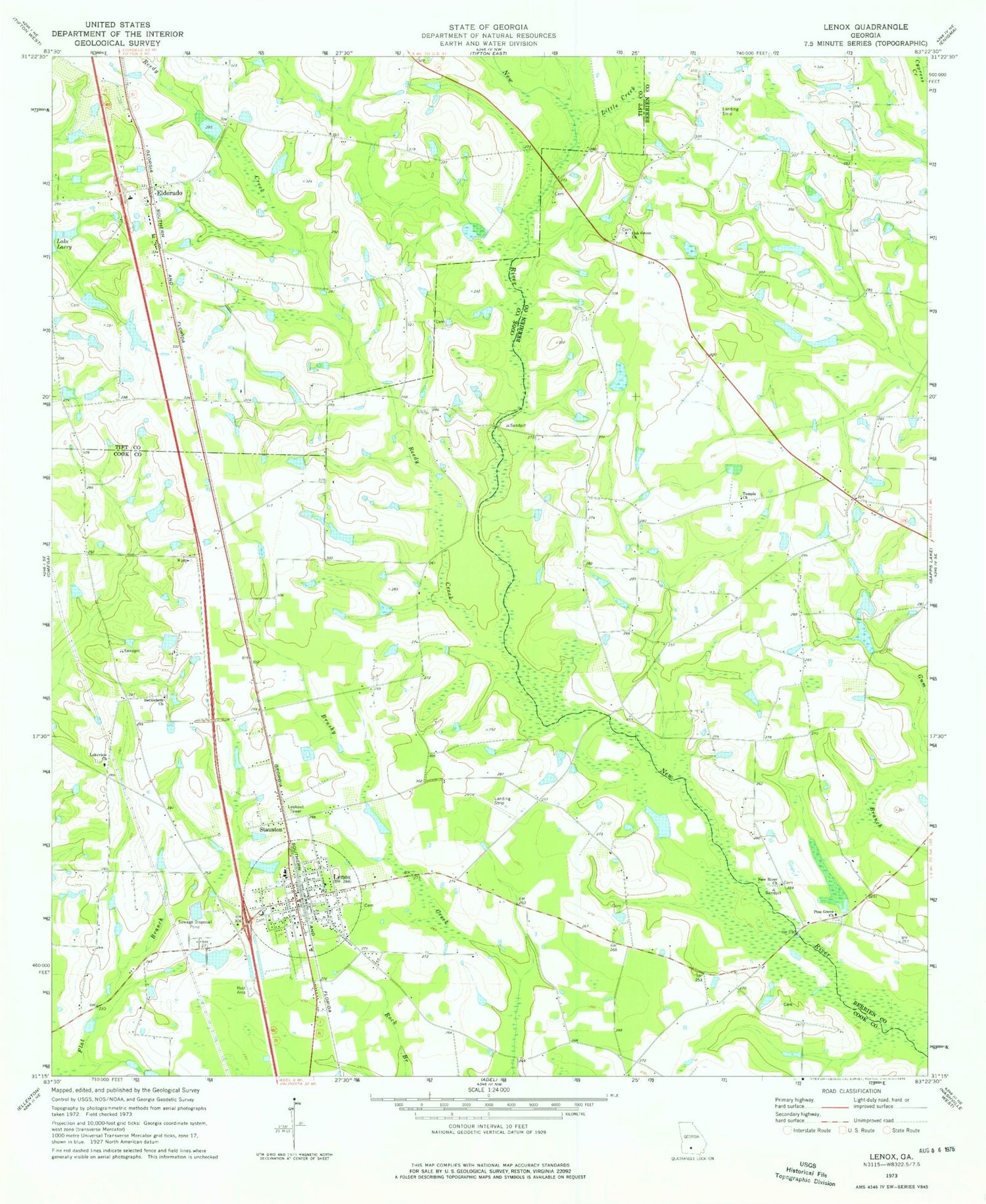
Historical USGS topographic quad map of Lenox in the state of Georgia. Map scale may vary for some years, but is generally around 1:24,000. Print size is approximately 24" x 27"
This quadrangle is in the following counties: Berrien, Cook, Tift.
The map contains contour lines, roads, rivers, towns, and lakes. Printed on high-quality waterproof paper with UV fade-resistant inks, and shipped rolled.
Contains the following named places: Bethlehem Primitive Baptist Church, Betts Lake, Betts Lake Dam, Brown Bridge, Cherry Grove Church, Community Church, Eldorado, Eldorado Baptist Church Cemetery, Eldorado Church, Eldorado Consolidated School, Fender Post Office, Griffin Lake, Griffin Lake Dam, Hand Lake, Hand Lake Dam, Hesters Bridge, Lakeview Church, Lenox, Lenox Division, Lenox Elementary School, Lenox Police Department and City Hall, Lenox Post Office, Lenox Volunteer Fire Department, Little Creek, Mathis Cemetery, New River Church, New River School, Oak Grove Church, Oaky Grove Cemetery, Pine Grove Church, Reedy Creek, Rutland Cemetery, Staunton, Temple Church, Tift County Volunteer Fire Department Station 7, Town of Lenox, Union Grove Church, West Central Avenue Church of God, ZIP Code: 31637


