MyTopo
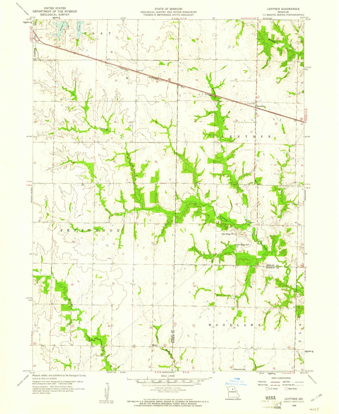
Classic USGS Lentner Missouri 7.5'x7.5' Topo Map
Couldn't load pickup availability
Historical USGS topographic quad map of Lentner in the state of Missouri. Map scale may vary for some years, but is generally around 1:24,000. Print size is approximately 24" x 27"
This quadrangle is in the following counties: Monroe, Shelby.
The map contains contour lines, roads, rivers, towns, and lakes. Printed on high-quality waterproof paper with UV fade-resistant inks, and shipped rolled.
Contains the following named places: Bishop School, Chinn School, Clarence City New Lake Dam, Clarence City Old Lake Dam, Clarence Lake, Fairview School, Lentner, L-Z Bravo Airport, Maud, Maud School, Oak Ridge Church, Oak Ridge School, Old Lake, Panhandle District, Stalcup School, Township of Jefferson, Township of Lentner, ZIP Codes: 63437, 63450