MyTopo
Classic USGS Leola Arkansas 7.5'x7.5' Topo Map
Couldn't load pickup availability
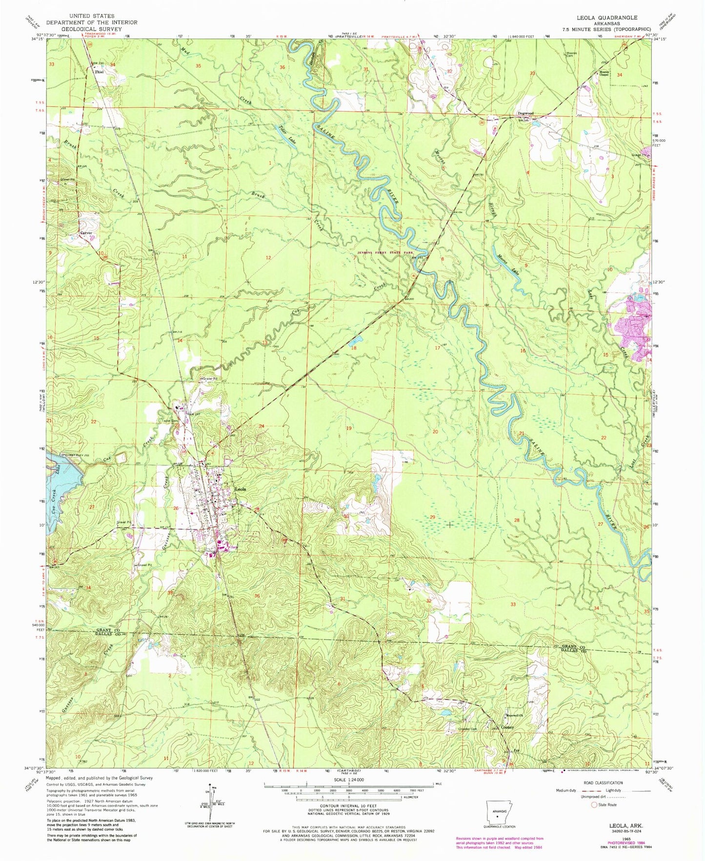
Historical USGS topographic quad map of Leola in the state of Arkansas. Map scale may vary for some years, but is generally around 1:24,000. Print size is approximately 24" x 27"
This quadrangle is in the following counties: Dallas, Grant.
The map contains contour lines, roads, rivers, towns, and lakes. Printed on high-quality waterproof paper with UV fade-resistant inks, and shipped rolled.
Contains the following named places: Brush Creek, Carver, Cooney, Cox Creek, Cox Creek Lake, Cox Creek Lake Dam, Crowder Cemetery, Dogwood, Guesses Creek, Herbert Creek, Hopewell Church, Ivy, Jenkins Ferry State Park, Katheryn's Landing Airport, Leola, Leola Post Office, Leola Volunteer Fire Department, Moores Cemetery, Moores Chapel, Moores Lake, Moores Slough, Mud Creek, Taylor Cemetery, Thiel, Tolar Lake, Town of Leola, Township of Davis, Township of Tennessee