MyTopo
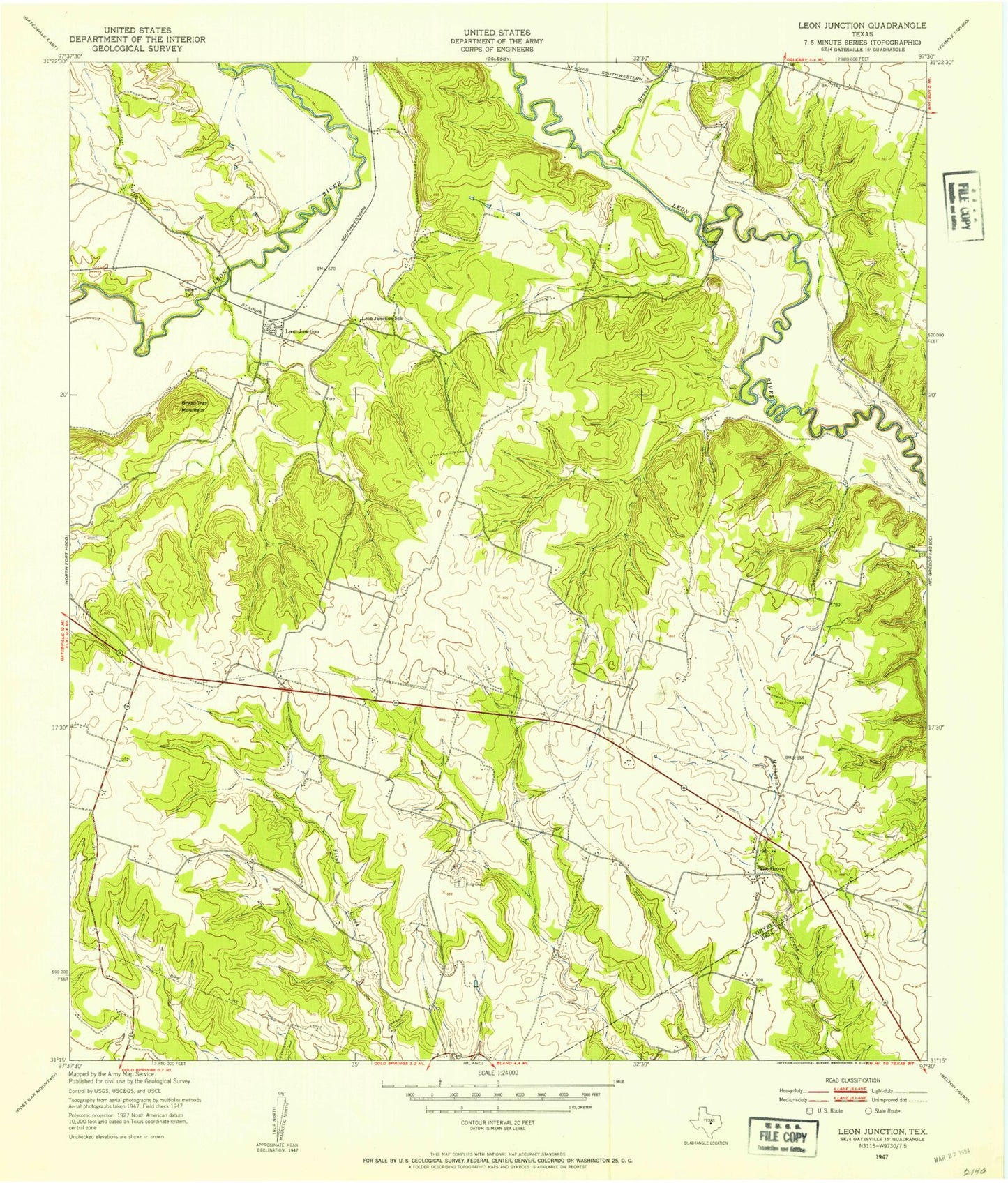
Classic USGS Leon Junction Texas 7.5'x7.5' Topo Map
Regular price
$16.95
Regular price
Sale price
$16.95
Unit price
per
Couldn't load pickup availability
Historical USGS topographic quad map of Leon Junction in the state of Texas. Map scale may vary for some years, but is generally around 1:24,000. Print size is approximately 24" x 27"
This quadrangle is in the following counties: Bell, Coryell.
The map contains contour lines, roads, rivers, towns, and lakes. Printed on high-quality waterproof paper with UV fade-resistant inks, and shipped rolled.
Contains the following named places: Bread Tray Mountain, Cold Springs Church, Flat Census Designated Place, Flat Division, Flint Creek Cemetery, Graham Cemetery, Leon Junction, Leon Junction Community Church, Leon Junction School, Pew Branch, Saint Paul Cemetery, Saint Paul School, Seaton Cemetery, The Grove