MyTopo
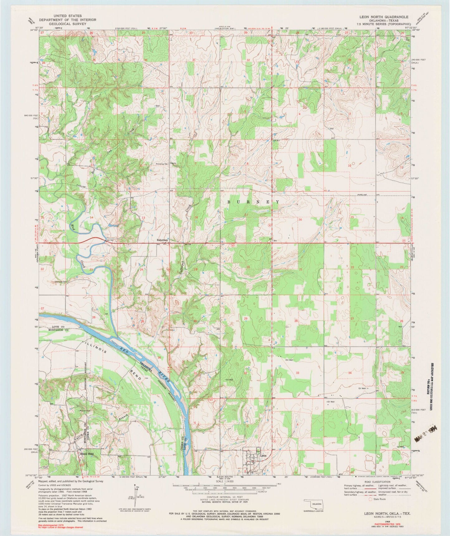
Classic USGS Leon North Oklahoma 7.5'x7.5' Topo Map
Couldn't load pickup availability
Historical USGS topographic quad map of Leon North in the states of Oklahoma, Texas. Map scale may vary for some years, but is generally around 1:24,000. Print size is approximately 24" x 27"
This quadrangle is in the following counties: Cooke, Love, Montague.
The map contains contour lines, roads, rivers, towns, and lakes. Printed on high-quality waterproof paper with UV fade-resistant inks, and shipped rolled.
Contains the following named places: Coffeepot Creek, Courtney Cemetery, Illinois Bend, James Dula Pond 6, James Dula Pond 6 Dam, Leon, Leon Cemetery, Leon Fire Department, Leon Post Office, Mud Creek, Murrell Cemetery, Red Oak Creek, Rubottom, Rubottom Cemetery, Town of Leon, Valley Branch, West Love Division, ZIP Code: 73441