MyTopo
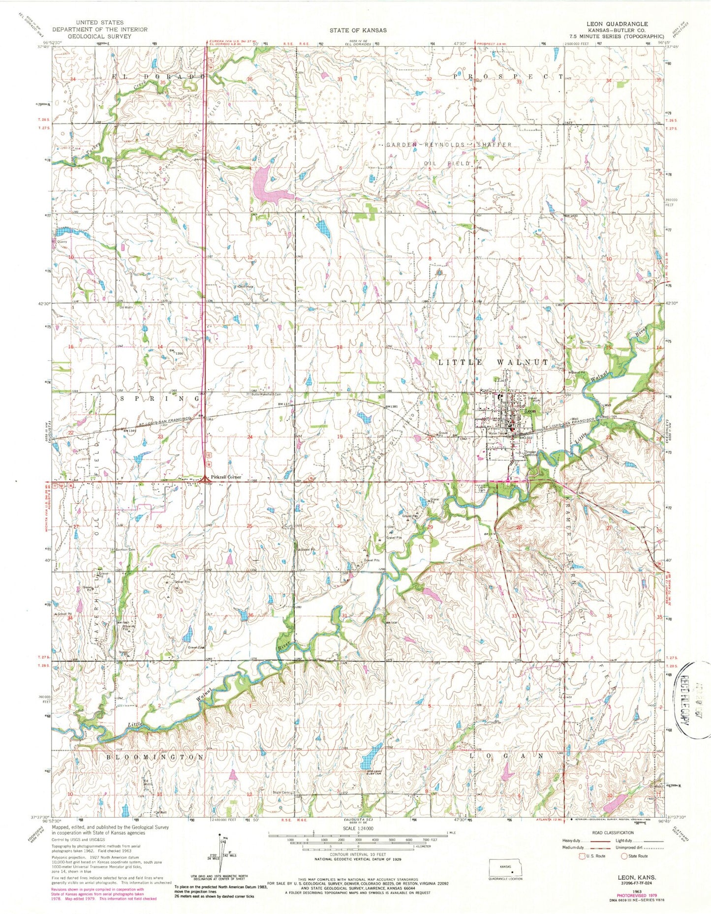
Classic USGS Leon Kansas 7.5'x7.5' Topo Map
Couldn't load pickup availability
Historical USGS topographic quad map of Leon in the state of Kansas. Map scale may vary for some years, but is generally around 1:24,000. Print size is approximately 24" x 27"
This quadrangle is in the following counties: Butler.
The map contains contour lines, roads, rivers, towns, and lakes. Printed on high-quality waterproof paper with UV fade-resistant inks, and shipped rolled.
Contains the following named places: Blue Stem Community Fellowship, Blue Stem Unified School District 205 Police Department, Bluestem Elementary School, Bluestem Junior / Senior High School, Bluestem Middle School, Bogle Cemetery, Butts-Wakefield Cemetery, City of Leon, First Baptist Church, Fleming Feed and Grain Company Grain Elevator Number 1, Garden-Reynolds-Shaffer Oil Field, Garrison Cemetery, Haverhill Oil Field, Kramer-Stern Oil Field, Leon, Leon - Butler County Fire District 9, Leon Cemetery, Leon Christian Church, Leon City Hall, Leon Mobile Manor, Leon Oil Field, Leon Police Department, Leon Post Office, Leon Public Library, Leon Sewer Plant, Leon United Methodist Church, Pickrell Corner, Riverbend Ranch Airport, Smock-Sluss Oil Field, Township of Little Walnut