MyTopo
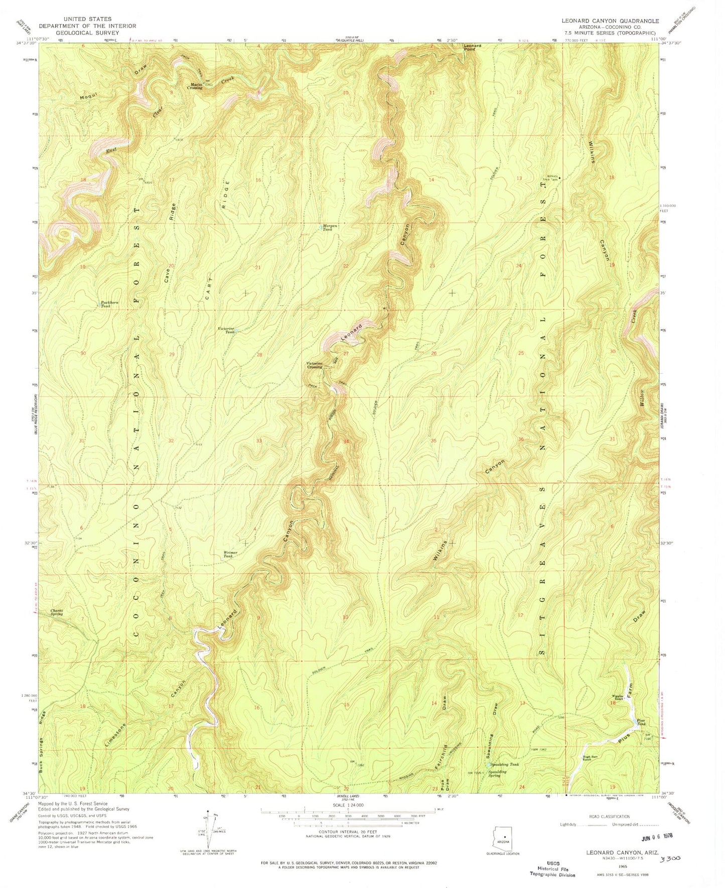
Classic USGS Leonard Canyon Arizona 7.5'x7.5' Topo Map
Couldn't load pickup availability
Historical USGS topographic quad map of Leonard Canyon in the state of Arizona. Map scale may vary for some years, but is generally around 1:24,000. Print size is approximately 24" x 27"
This quadrangle is in the following counties: Coconino.
The map contains contour lines, roads, rivers, towns, and lakes. Printed on high-quality waterproof paper with UV fade-resistant inks, and shipped rolled.
Contains the following named places: Buckhorn Tank, Cart Ridge, Cave Ridge, Chavez Spring, East Clear Creek, Elkhorn Tank, Fairchild Draw, Fork Tank, Hugh Barr Ranch, Kevin Tank, Leonard Canyon, Leonard Point, Limestone Canyon, Limestone Spring, Lost Tank, Macks Crossing, Middle Tank, Moqui Draw, Morgan Tank, Pius Draw, Pius Farm Draw, Pius Tank, Saltground Tank, Second Chance Tank, Soldier Trail, Spaulding Draw, Spaulding Spring, Spaulding Tank, Victorine Crossing, Victorine Tank, Weimer Tank, Wiggins Ranch, Wilkins Trick Tank