MyTopo
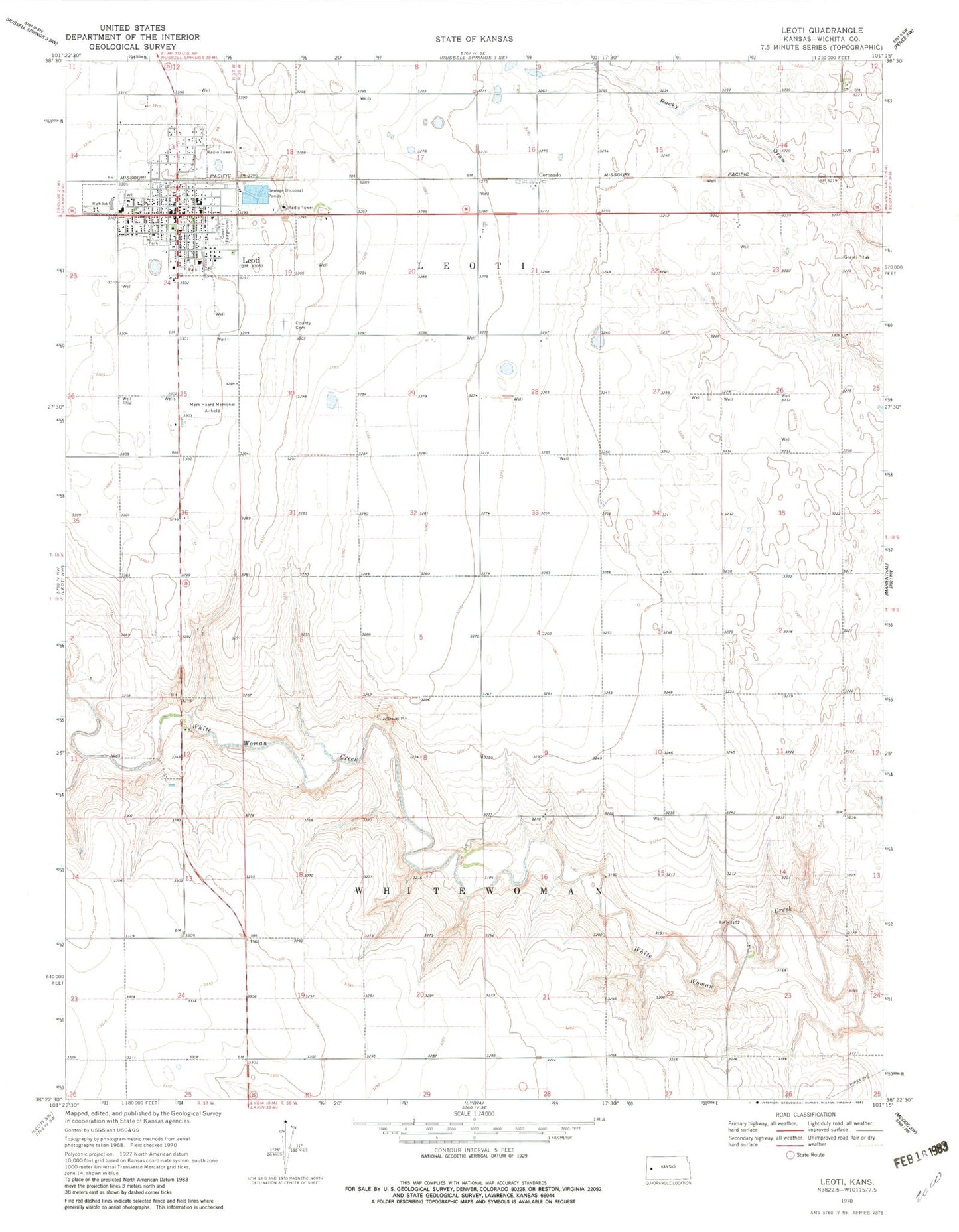
Classic USGS Leoti Kansas 7.5'x7.5' Topo Map
Couldn't load pickup availability
Historical USGS topographic quad map of Leoti in the state of Kansas. Map scale may vary for some years, but is generally around 1:24,000. Print size is approximately 24" x 27"
This quadrangle is in the following counties: Wichita.
The map contains contour lines, roads, rivers, towns, and lakes. Printed on high-quality waterproof paper with UV fade-resistant inks, and shipped rolled.
Contains the following named places: Assembly of God Church, Christ Covenant Evangelical Presbyterian Church, City of Leoti, Coronado, Elementary School, First Baptist Church, First Presbyterian Church, Kingdom Hall of Jehovah's Witnesses, Leoti, Leoti City Hall, Leoti Country Club, Leoti Post Office, Leoti United Methodist Church, Leoti Volunteer Fire Department, Leoti Wastewater Plant, Loti Cemetery, Mark Hoard Memorial Airport, Museum of the Great Plains, Saint Anthony of Padua Catholic Church, Township of Leoti, Wichita County, Wichita County Community Building, Wichita County Courthouse, Wichita County Fairgrounds, Wichita County Health Center, Wichita County Health Department, Wichita County Junior - Senior High School, Wichita County Junior High School, Wichita County Library, Wichita County Road Department, Wichita County Sheriff's Office