MyTopo
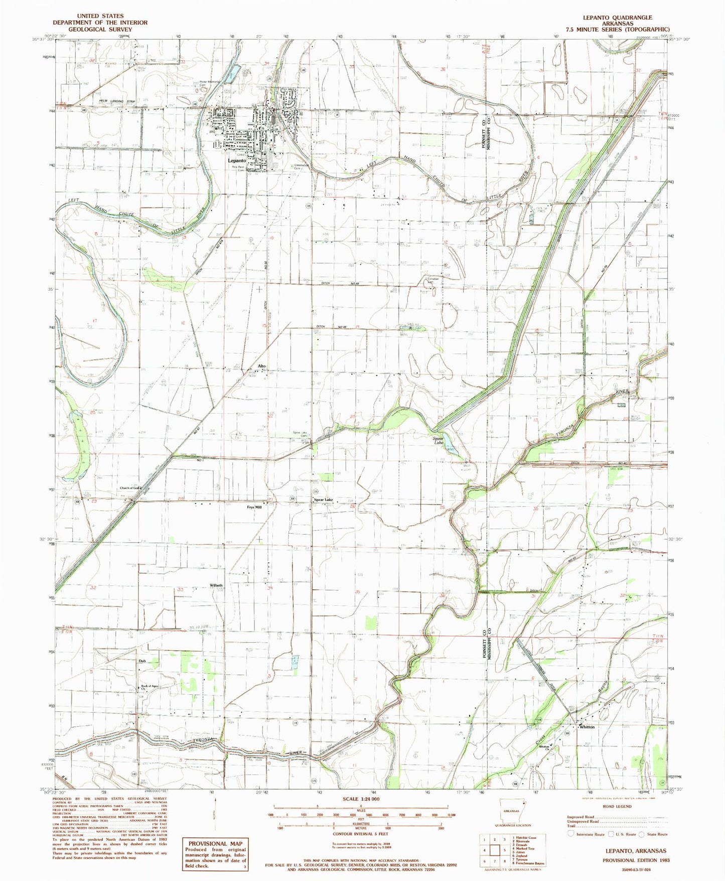
Classic USGS Lepanto Arkansas 7.5'x7.5' Topo Map
Couldn't load pickup availability
Historical USGS topographic quad map of Lepanto in the state of Arkansas. Map scale may vary for some years, but is generally around 1:24,000. Print size is approximately 24" x 27"
This quadrangle is in the following counties: Mississippi, Poinsett.
The map contains contour lines, roads, rivers, towns, and lakes. Printed on high-quality waterproof paper with UV fade-resistant inks, and shipped rolled.
Contains the following named places: Alto, Browns Lake, Church of God, City of Lepanto, Conaster Cemetery, Ditch Number 39, Ditch Number 40, Ditch Number 45a, Ditch Number 45b, Ditch Number 47, Ditch Number 47a, Ditch Number 48, Ditch Number 49, Ditch Number 50, Ditch Number 51, Ditch Number 51b, Ditch Number 6, Ditch Number 68, Ditch Number 69, Ditch Number 72, Dub, Dunn Cemetery, East Poinsett County Elementary School, East Poinsett County High School, Emery Chapel, Frys Mill, Greenwood Cemetery, Greenwood School, Helm Landing Strip, Kerr School, Lepanto, Lepanto Elementary School, Lepanto Police Department, Lepanto Post Office, Lepanto Volunteer Fire Department, Pentecostal Church, Pine Rest Cemetery, Potter Memorial Cemetery, Price Field, Rock of Ages Cemetery, Rock of Ages Church, Sky Lake, Spear Lake, Spear Lake Cemetery, Spear Lake School, Tupelo Lake, Ward Cemetery, Whitton, Whitton Baptist Church, Whitton Cemetery, Whitton Church, Whitton School, Wilbeth, Woolsey Cemetery, ZIP Code: 72354


