MyTopo
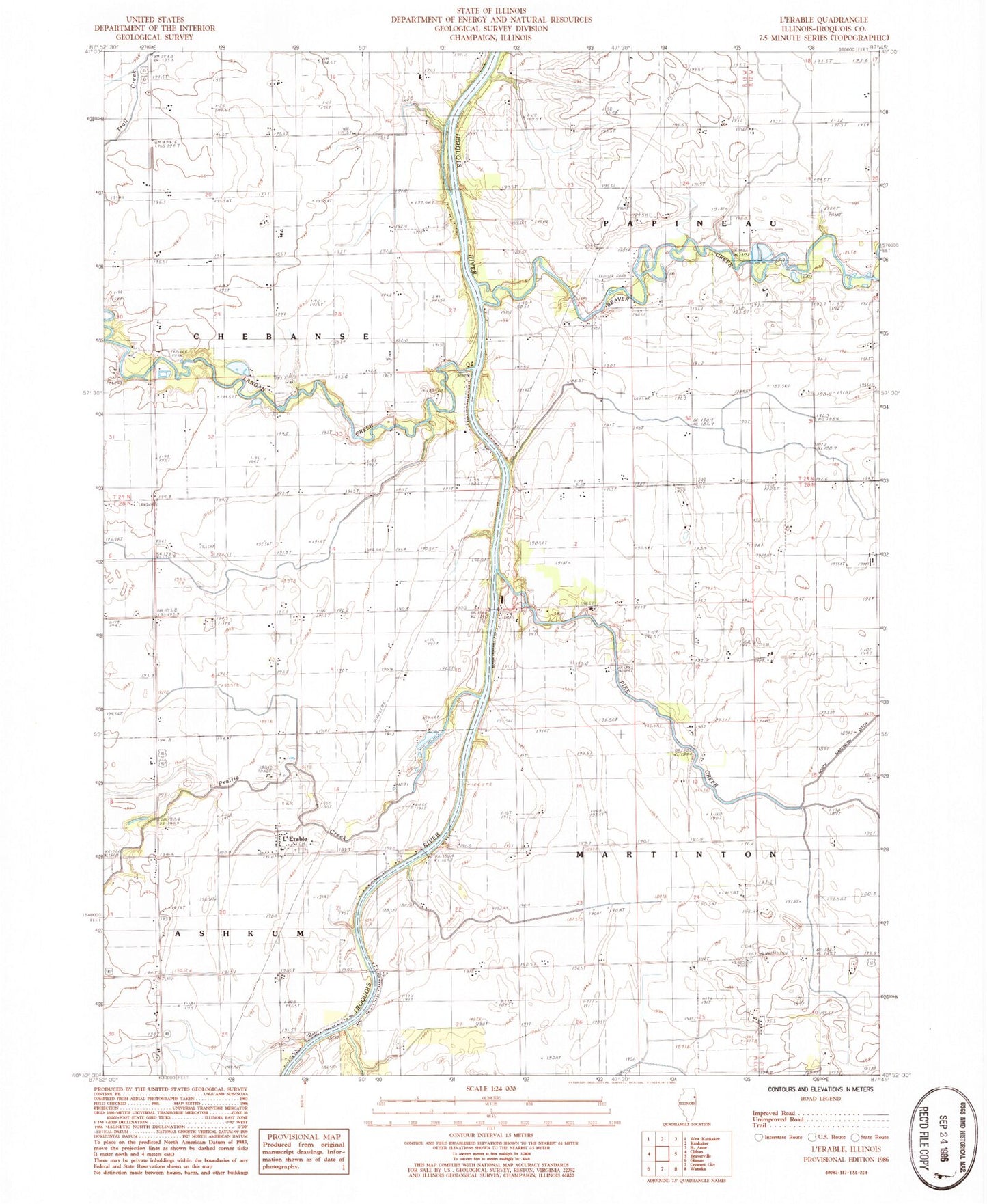
Classic USGS L'Erable Illinois 7.5'x7.5' Topo Map
Couldn't load pickup availability
Historical USGS topographic quad map of L'Erable in the state of Illinois. Map scale may vary for some years, but is generally around 1:24,000. Print size is approximately 24" x 27"
This quadrangle is in the following counties: Iroquois.
The map contains contour lines, roads, rivers, towns, and lakes. Printed on high-quality waterproof paper with UV fade-resistant inks, and shipped rolled.
Contains the following named places: Baron School, Beaver Creek, Beaver Creek Cemetery, Brault School, Clabby School, College Corner School, Dodsonville School, Dutour School, Hubb School, Jones School, Langan Creek, L'Erable, L'Erable Bridge, Liberty School, North Martinton Ditch, Nottke Airport, Old Burg Cemetery, Old Burg School, Perry Bridge, Pike Creek, Prairie Creek, Saint Johns Cemetery, Switzer School, Tegge Cemetery, Vanderporten School, ZIP Code: 60951