MyTopo
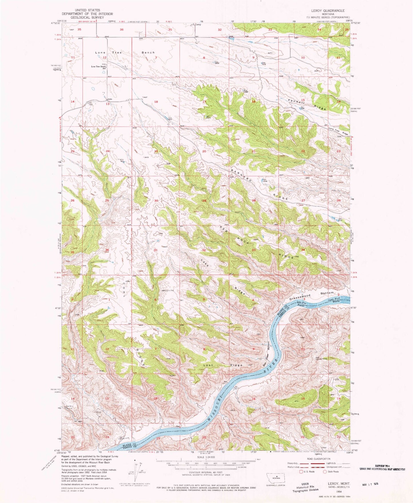
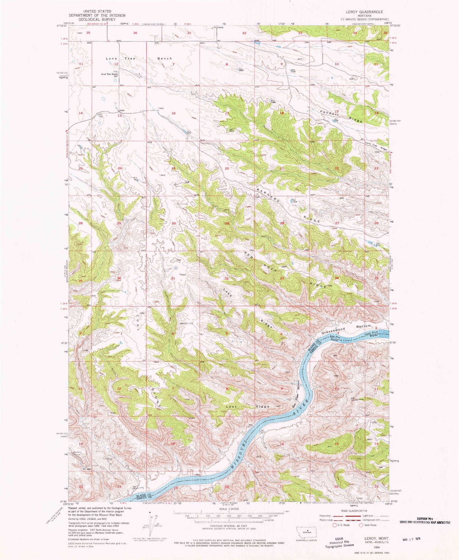
Classic USGS Leroy Montana 7.5'x7.5' Topo Map
Couldn't load pickup availability
Historical USGS topographic quad map of Leroy in the state of Montana. Map scale may vary for some years, but is generally around 1:24,000. Print size is approximately 24" x 27"
This quadrangle is in the following counties: Blaine, Fergus.
The map contains contour lines, roads, rivers, towns, and lakes. Printed on high-quality waterproof paper with UV fade-resistant inks, and shipped rolled.
Contains the following named places: Barnard Ridge, Box Elder Bottom, Castle Bluff Rapids, Chimney Bend, Coal Ridge, Greasewood Bottom, Lake Ridge, Leroy, Leroy Post Office, Lone Pine Rapids, Lone Tree Bench, Lone Tree Bench School, Lost Ridge, McGarry Bar, Red Rock Ridge, Upper Missouri River Breaks National Monument