MyTopo
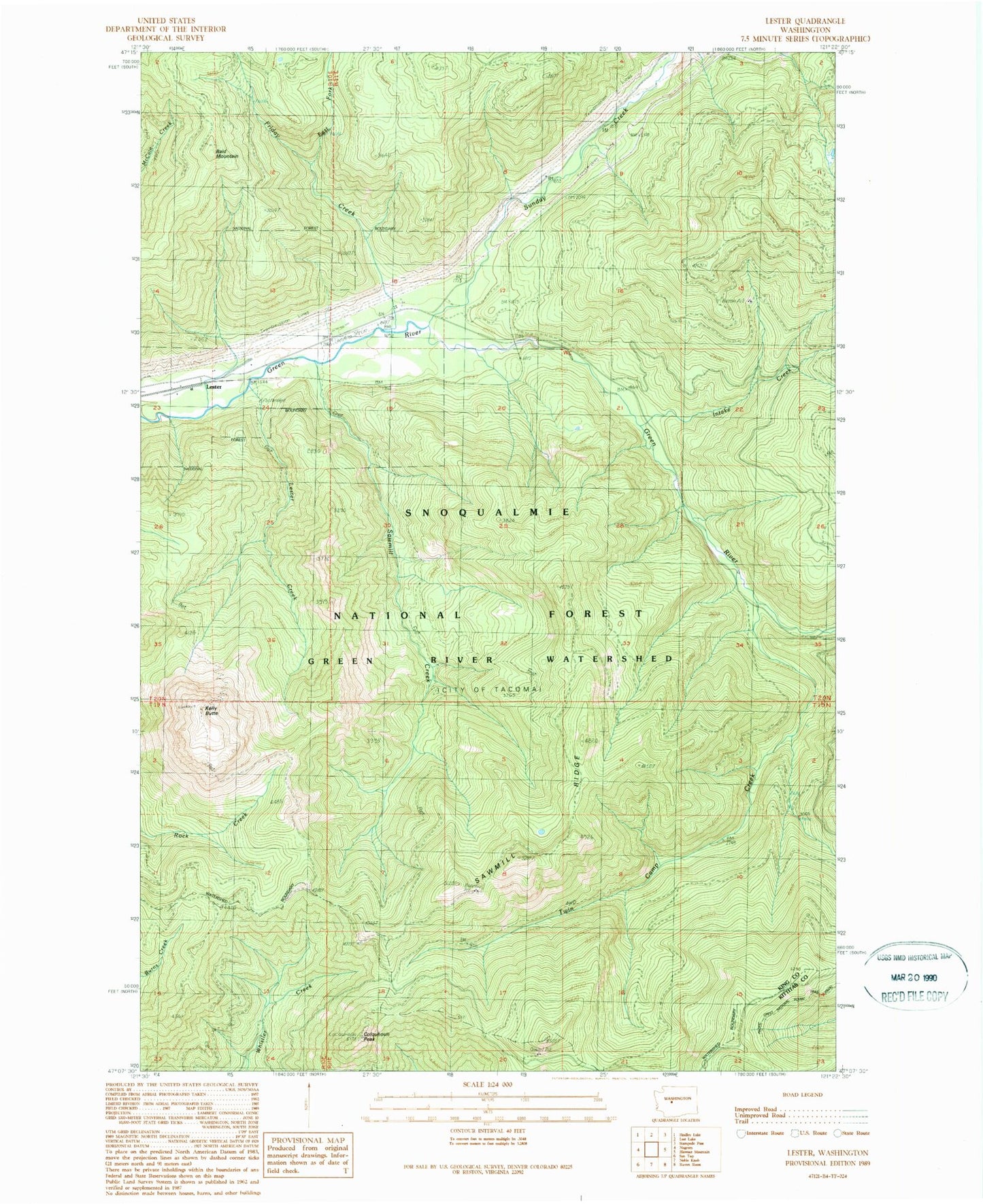
Classic USGS Lester Washington 7.5'x7.5' Topo Map
Couldn't load pickup availability
Historical USGS topographic quad map of Lester in the state of Washington. Typical map scale is 1:24,000, but may vary for certain years, if available. Print size: 24" x 27"
This quadrangle is in the following counties: King, Kittitas.
The map contains contour lines, roads, rivers, towns, and lakes. Printed on high-quality waterproof paper with UV fade-resistant inks, and shipped rolled.
Contains the following named places: Bald Mountain, Colquhoun Peak, East Fork Friday Creek, Friday Creek, Green River Watershed, Intake Creek, Kelly Butte, Kelly Butte Trail, Lester, Lester Creek, Sawmill Creek, Sawmill Ridge, Sawmill Ridge Trail, Snowshoe Butte Trail, Sunday Creek, Tacoma Creek, Twin Camp, Twin Camp Creek, Naches Ranger District, Colquhoun Peak Lookout, Kelly Butte Lookout, Lester State Airport (historical), Kennedy, Twin Camp Recreation Area, Snoqualmie National Forest