MyTopo
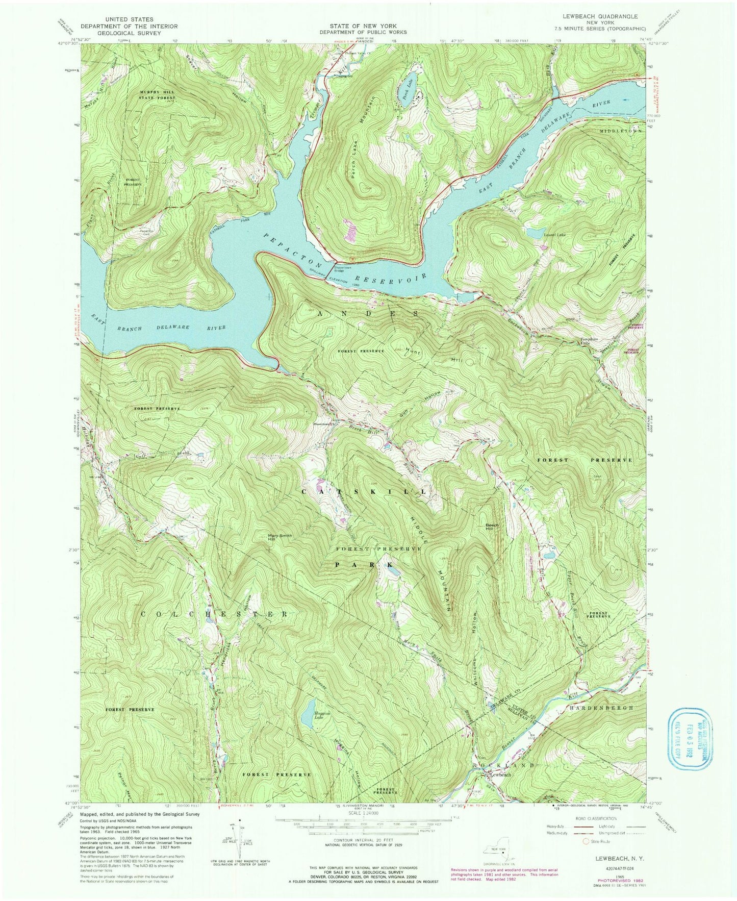
Classic USGS Lewbeach New York 7.5'x7.5' Topo Map
Couldn't load pickup availability
Historical USGS topographic quad map of Lewbeach in the state of New York. Typical map scale is 1:24,000, but may vary for certain years, if available. Print size: 24" x 27"
This quadrangle is in the following counties: Delaware, Sullivan, Ulster.
The map contains contour lines, roads, rivers, towns, and lakes. Printed on high-quality waterproof paper with UV fade-resistant inks, and shipped rolled.
Contains the following named places: Barkaboom Stream, Beech Hill, Bussey Hollow, Deerlick Brook, Flynn Brook, Gulf Brook, Gun Hollow, Hendricks Hollow, Huggins Lake, Hunt Hill, Lewbeach, Lower Beech Hill Brook, Mary Smith Brook, Mary Smith Hill, Middle Mountain, Mud Lake, Perch Lake, Perch Lake Mountain, Pleasant Valley Church, Shaver Hollow, Shavertown Bridge, Shavertown Church, Shin Creek, Tompkins Falls, Upper Beech Hill Brook, Bush Kill, Tremper Kill, Whitcomb Hollow, Laurel Lake, Del Savio Airport (historical), Little Falls EMS Heliport, Beaverkill Valley Fire Department


