MyTopo
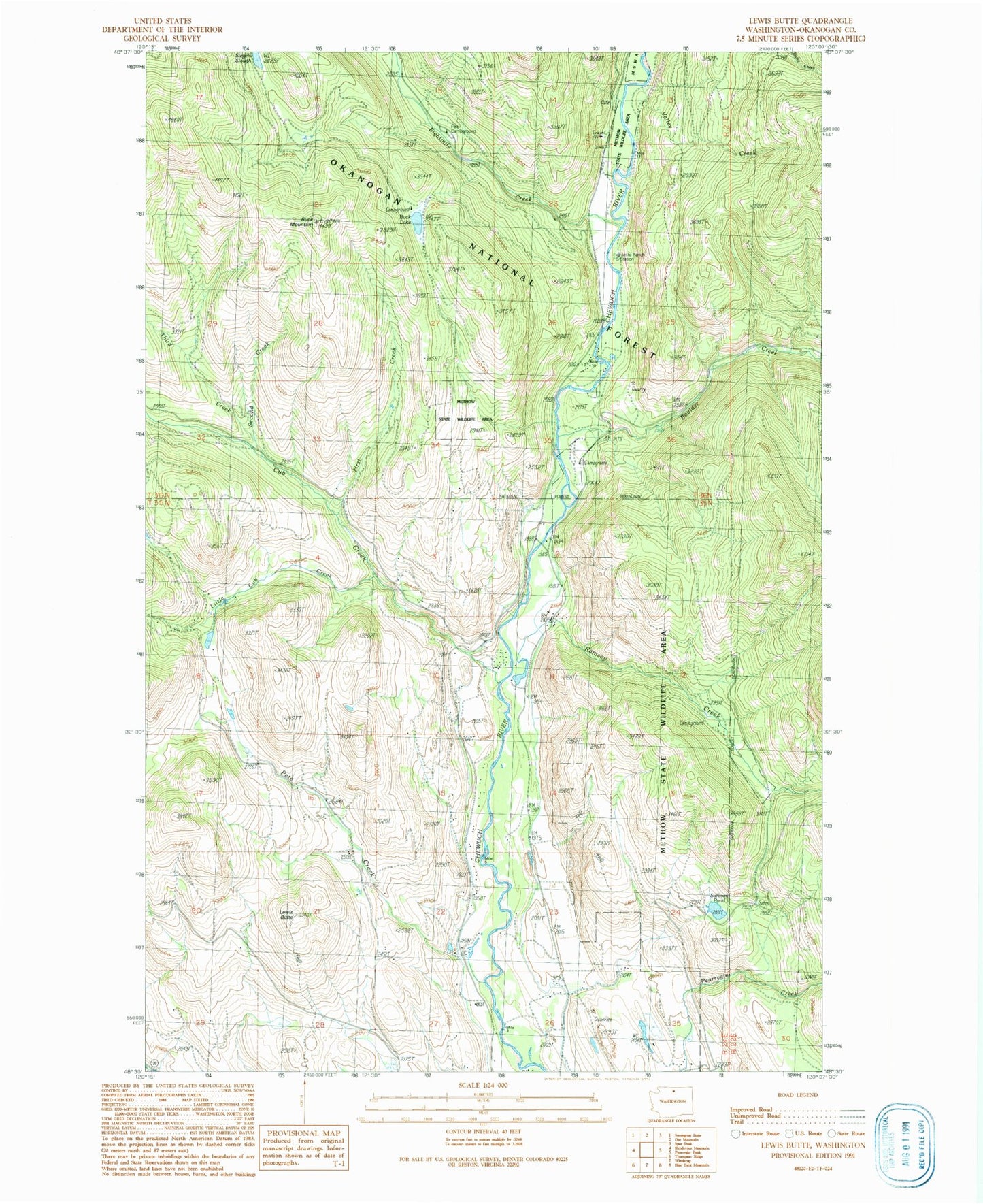
Classic USGS Lewis Butte Washington 7.5'x7.5' Topo Map
Couldn't load pickup availability
Historical USGS topographic quad map of Lewis Butte in the state of Washington. Map scale may vary for some years, but is generally around 1:24,000. Print size is approximately 24" x 27"
This quadrangle is in the following counties: Okanogan.
The map contains contour lines, roads, rivers, towns, and lakes. Printed on high-quality waterproof paper with UV fade-resistant inks, and shipped rolled.
Contains the following named places: Boulder Creek, Buck Lake, Buck Lake Campground, Buck Mountain, Cub Creek, Eightmile, Eightmile Creek, Eightmile Ranch, First Creek, Flat Campground, Lewis Butte, Little Cub Creek, Meadow Lake, Memorial Campground, Methow Valley Community School, Pete Creek, Ramsey Creek, Second Creek, Siegels Slough, Sullivan Pond, Third Creek, Valley Creek, Wright Ponds-East Pond, Wright Ponds-East Pond Dam, Wright Ponds-West Pond, Wright Ponds-West Pond Dam