MyTopo
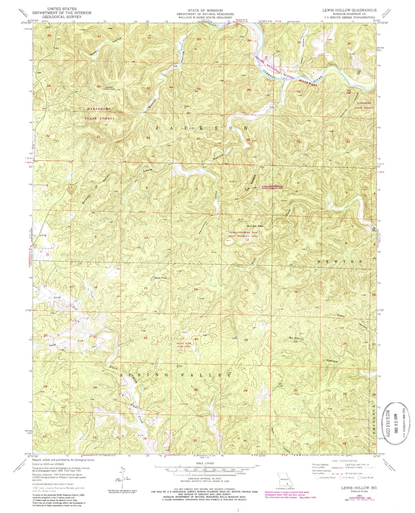
Classic USGS Lewis Hollow Missouri 7.5'x7.5' Topo Map
Couldn't load pickup availability
Historical USGS topographic quad map of Lewis Hollow in the state of Missouri. Typical map scale is 1:24,000, but may vary for certain years, if available. Print size: 24" x 27"
This quadrangle is in the following counties: Shannon.
The map contains contour lines, roads, rivers, towns, and lakes. Printed on high-quality waterproof paper with UV fade-resistant inks, and shipped rolled.
Contains the following named places: Black Valley School, Burr Oak Basin, Dooley Hollow, Fishtrap Hollow, Hieronymus Hollow, Lewis Hollow, Lewis Hollow, Lewis Hollow School, North Fork Black Valley Creek, Skunk Pond, South Fork Black Valley Creek, Standing Rock Hollow, Sumac Valley, The Sunkland, Willow Springs School, Hartshorn State Forest, Skunk Pond State Wildlife Management Area, Sunklands-Burr Oak State Wildlife Area, Wagon Trace, Hartshorn Lookout Tower