MyTopo
Classic USGS Lewis Swamp North Carolina 7.5'x7.5' Topo Map
Couldn't load pickup availability
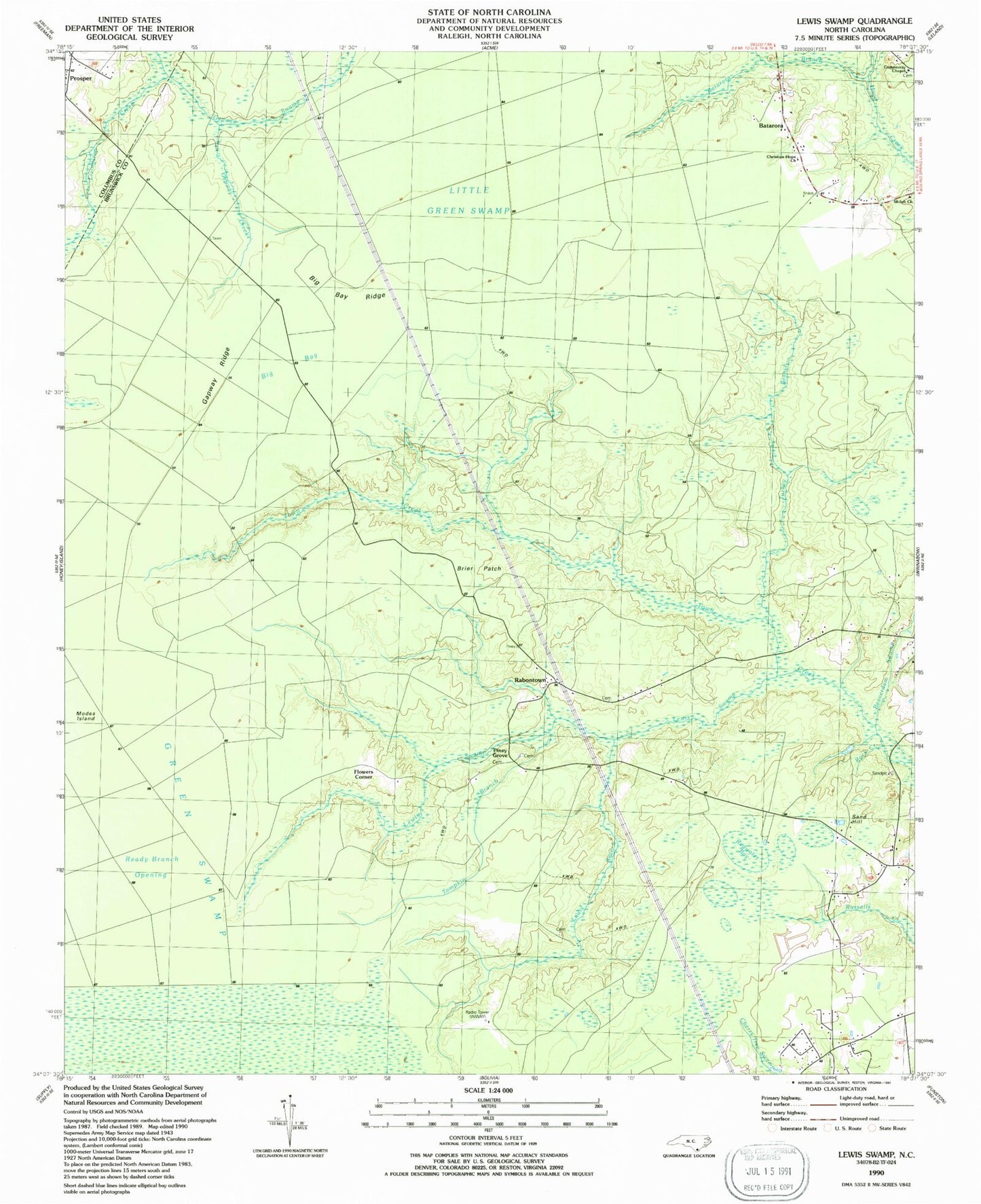
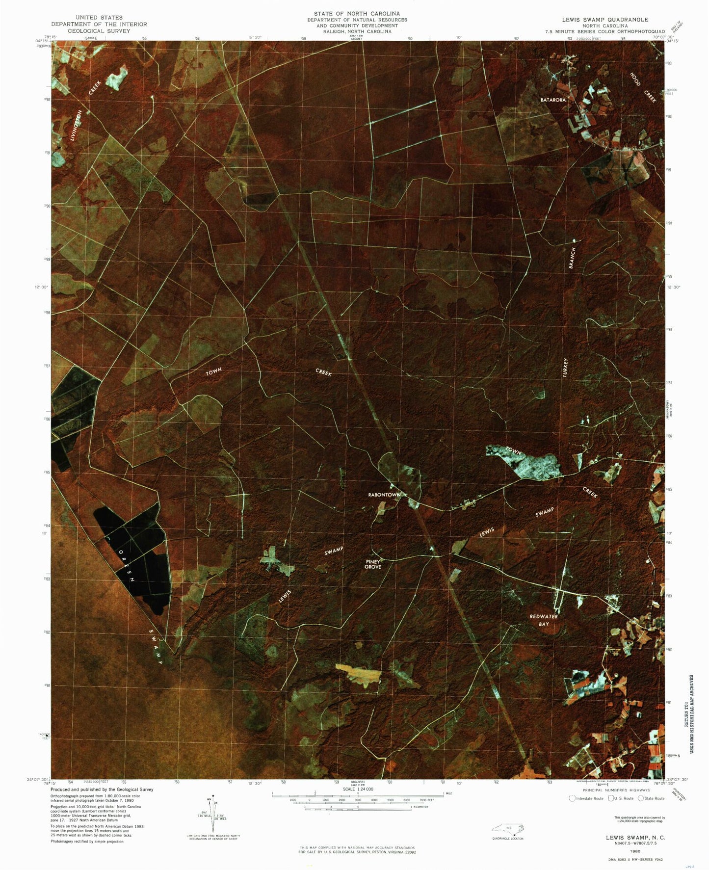
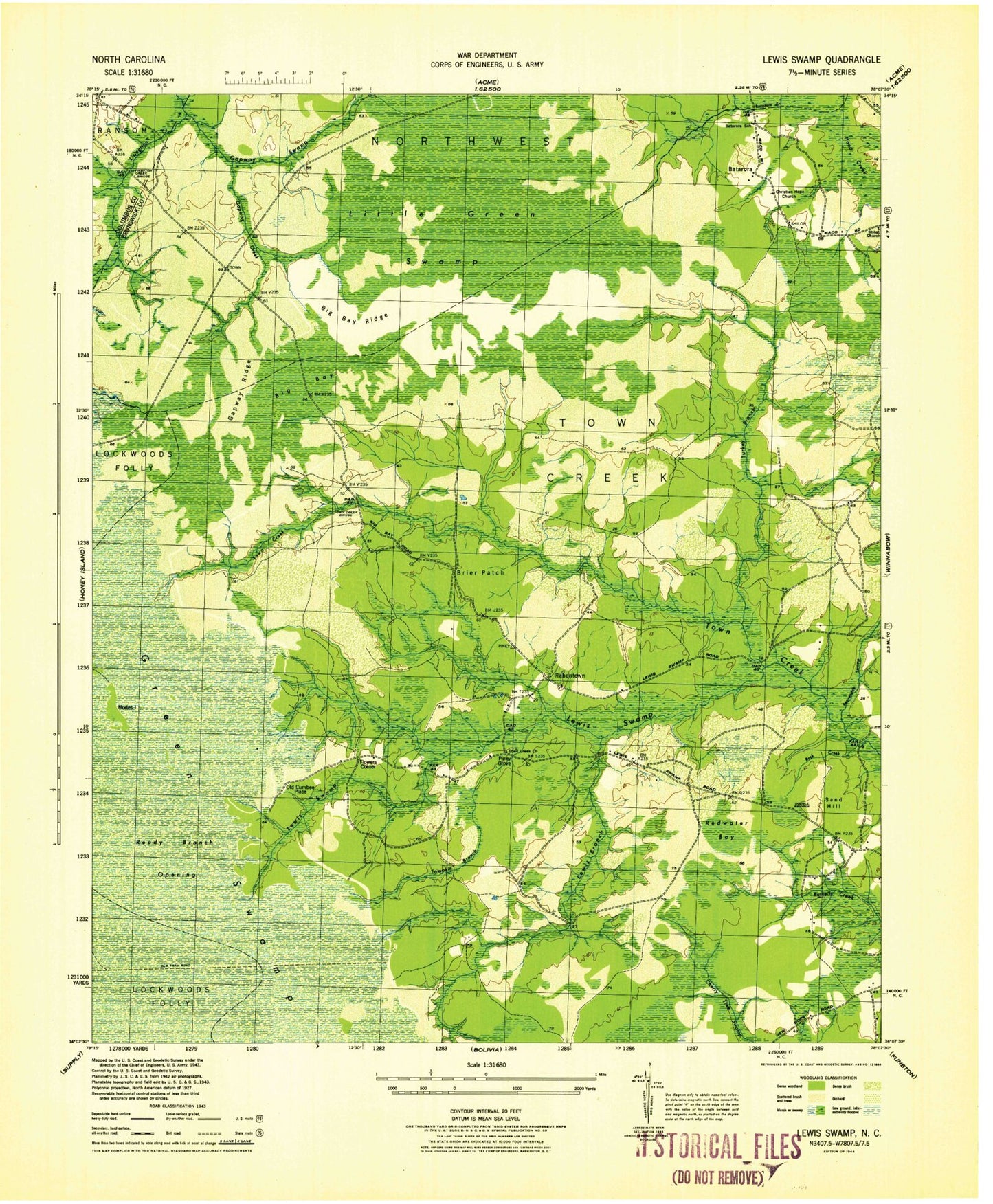
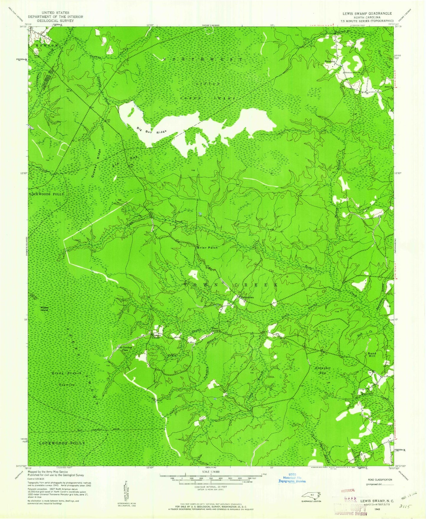
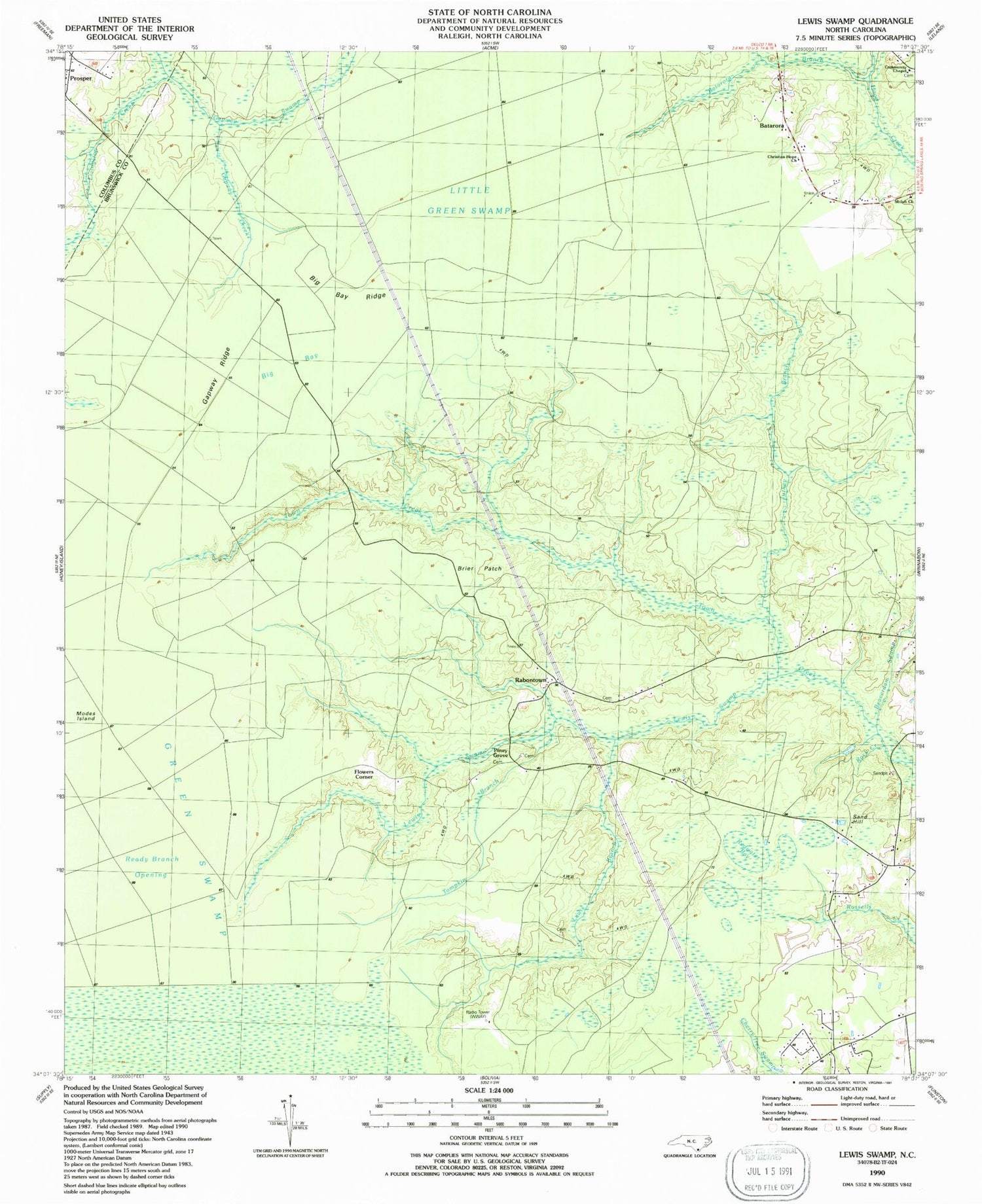
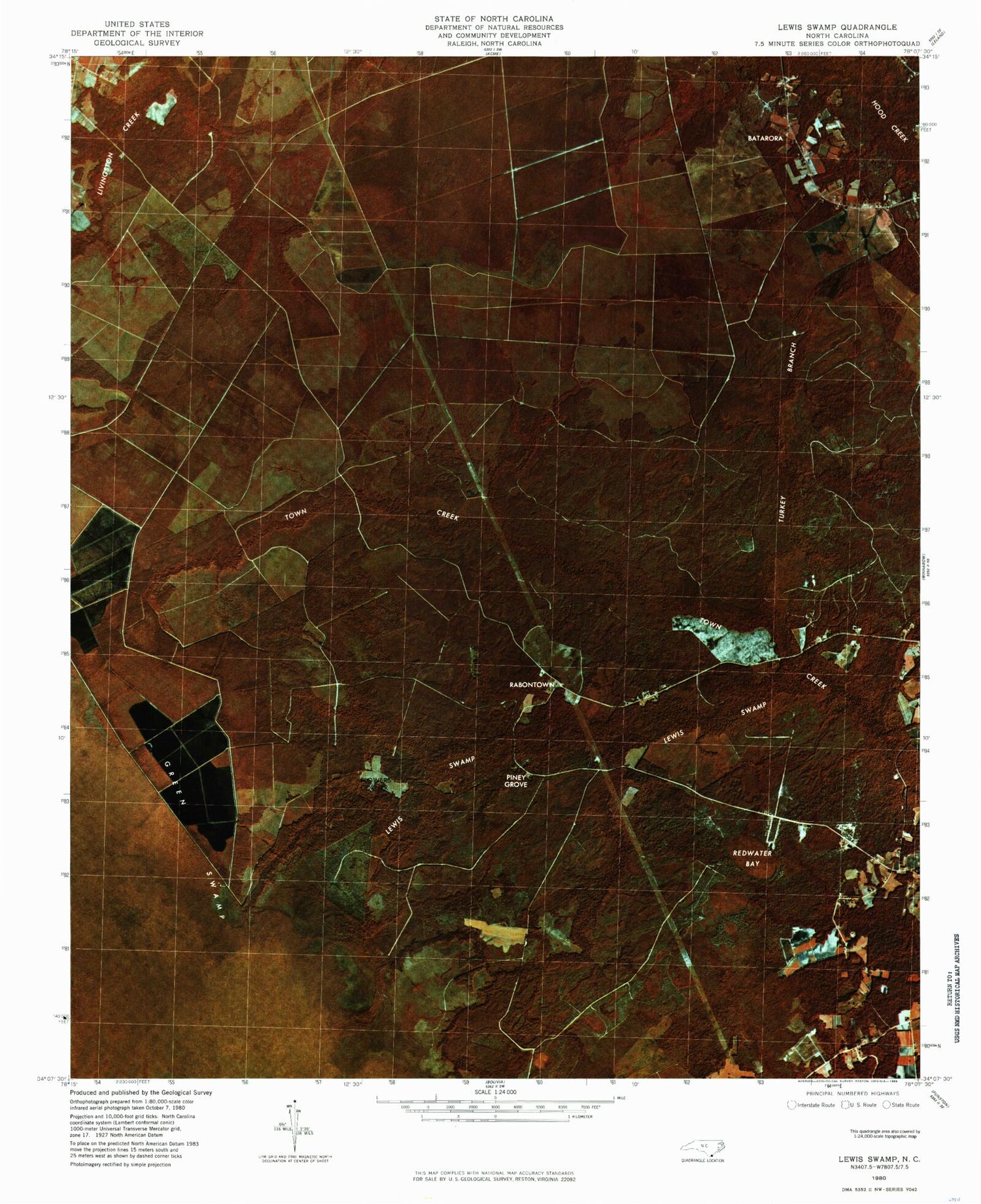
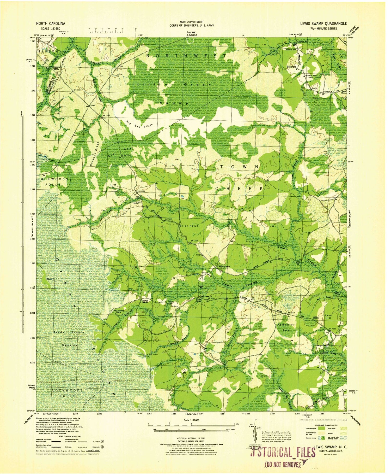
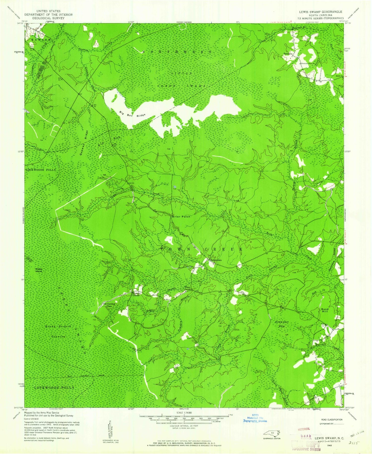
Historical USGS topographic quad map of Lewis Swamp in the state of North Carolina. Typical map scale is 1:24,000, but may vary for certain years, if available. Print size: 24" x 27"
This quadrangle is in the following counties: Brunswick, Columbus.
The map contains contour lines, roads, rivers, towns, and lakes. Printed on high-quality waterproof paper with UV fade-resistant inks, and shipped rolled.
Contains the following named places: Batarora Branch, Beaverdam Swamp, Big Bay, Big Bay Ridge, Brier Patch, Christian Hope Church, Gapway Creek, Gapway Ridge, Gapway Swamp, Little Green Swamp, Modes Island, Ready Branch Opening, Redwater Bay, Rock Creek, Tompkin Branch, Turkey Branch, Community Chapel, Piney Grove, Lewis Swamp, WWAY-TV (Wilmington), Batarora, Flowers Corner, Old Cumbee Place, Rabontown, Sand Hill, Lewis Branch, Batarora Branch, Beaverdam Swamp, Big Bay, Big Bay Ridge, Brier Patch, Christian Hope Church, Gapway Creek, Gapway Ridge, Gapway Swamp, Little Green Swamp, Modes Island, Ready Branch Opening, Redwater Bay, Rock Creek, Tompkin Branch, Turkey Branch, Community Chapel, Piney Grove, Lewis Swamp, WWAY-TV (Wilmington), Batarora, Flowers Corner, Old Cumbee Place, Rabontown, Sand Hill, Lewis Branch, Batarora Branch, Beaverdam Swamp, Big Bay, Big Bay Ridge, Brier Patch, Christian Hope Church, Gapway Creek, Gapway Ridge, Gapway Swamp, Little Green Swamp, Modes Island, Ready Branch Opening, Redwater Bay, Rock Creek, Tompkin Branch, Turkey Branch, Community Chapel, Piney Grove, Lewis Swamp, WWAY-TV (Wilmington), Batarora, Flowers Corner, Old Cumbee Place, Rabontown, Sand Hill, Lewis Branch
