MyTopo
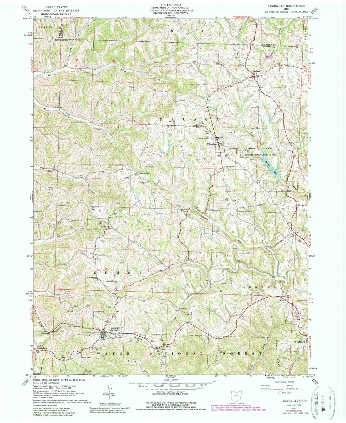
Classic USGS Lewisville Ohio 7.5'x7.5' Topo Map
Couldn't load pickup availability
Historical USGS topographic quad map of Lewisville in the state of Ohio. Map scale may vary for some years, but is generally around 1:24,000. Print size is approximately 24" x 27"
This quadrangle is in the following counties: Belmont, Monroe, Noble.
The map contains contour lines, roads, rivers, towns, and lakes. Printed on high-quality waterproof paper with UV fade-resistant inks, and shipped rolled.
Contains the following named places: Block Cemetery, Buchanon Presbyterian Cemetery, Bush Cemetery, Bush Church, Decker, Eggar Cemetery, Free Burial Ground, Friendship Cemetery, German Cemetery, Hamilton, Jacobsburg, Kerr, Landefeld Dairy Farm, Lewisville, Lewisville Community Volunteer Fire Department, Lewisville Elementary School, Lewisville German Lutheran Cemetery, Lewisville Post Office, Malaga, Malaga Post Office, McGrary Cemetery, Middle Church German Lutheran Cemetery, Miltonsburg, Miltonsburg Cemetery, Monroe Lake, Monroe Lake Dam, Monroe Lake State Wildlife Area, Monroefield, Monroefield Post Office, Moose Ridge, Neptune Cemetery, Potts Cemetery, Rock Creek, Saint Johns Church, Saint Johns Roman Catholic Cemetery, Schell Cemetery, Sloan Cemetery, Stires Lake, Stires Lake Dam, Township of Malaga, Township of Summit, Village of Lewisville, Village of Miltonsburg, Wheeler Run, Wilson Cemetery, Woodsfield Heliport, Woodsfield Volunteer Fire Department, ZIP Code: 43754