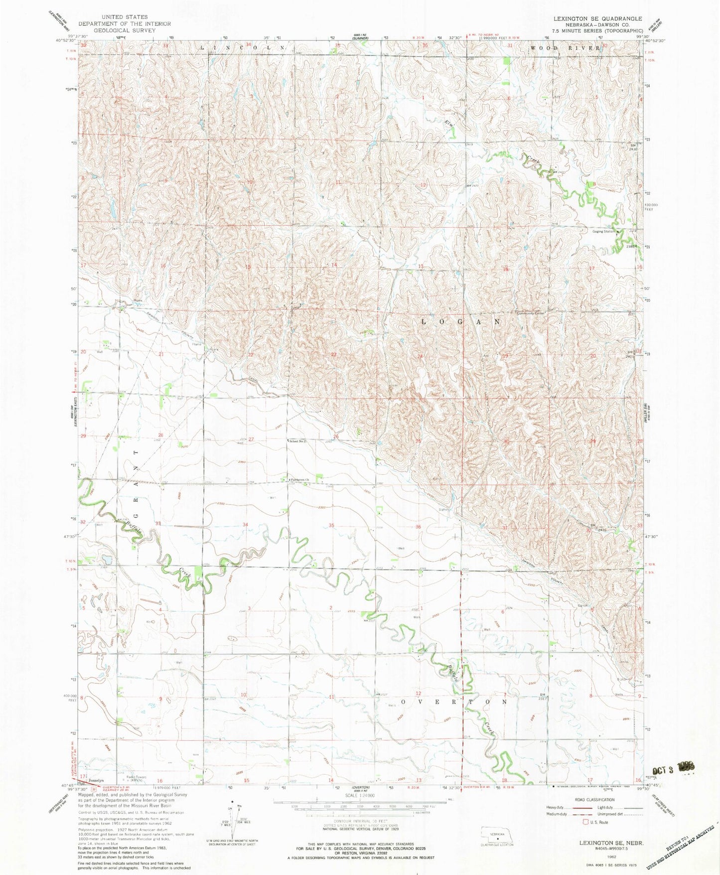
MyTopo
Classic USGS Lexington SE Nebraska 7.5'x7.5' Topo Map
Regular price
$16.95
Regular price
Sale price
$16.95
Unit price
per
Couldn't load pickup availability
Historical USGS topographic quad map of Lexington SE in the state of Nebraska. Map scale may vary for some years, but is generally around 1:24,000. Print size is approximately 24" x 27"
This quadrangle is in the following counties: Dawson.
The map contains contour lines, roads, rivers, towns, and lakes. Printed on high-quality waterproof paper with UV fade-resistant inks, and shipped rolled.
Contains the following named places: Beatty Dam, Beatty Reservoir, Clouatre Dam, Clouatre Reservoir, Dawson County Canal, Fairhaven Church, Freburg Dam, Freburg Reservoir, Hammond Dam, Hammond Reservoir, Hubbard Dam, Hubbard Reservoir, Overton Election Precinct, School Number 21, Township of Logan, ZIP Code: 68863