MyTopo
Classic USGS Lexington South Mississippi 7.5'x7.5' Topo Map
Couldn't load pickup availability
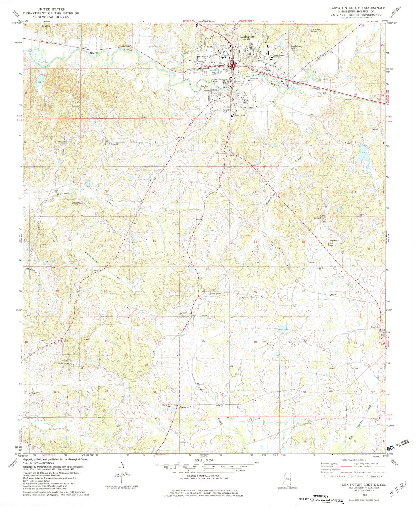
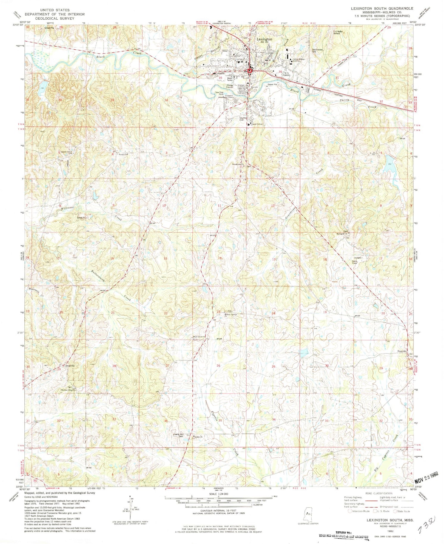
Historical USGS topographic quad map of Lexington South in the state of Mississippi. Map scale may vary for some years, but is generally around 1:24,000. Print size is approximately 24" x 27"
This quadrangle is in the following counties: Holmes.
The map contains contour lines, roads, rivers, towns, and lakes. Printed on high-quality waterproof paper with UV fade-resistant inks, and shipped rolled.
Contains the following named places: Beulah Church, Black Watershed Y-36-37 Dam, Bob Gillforth Lake Dam, Brozville, Buck Cemetery, Butterworth Creek, Central Holmes Academy, Central Mississippi Female College, Chestnut Ridge Church, Chestnut Ridge School, City of Lexington, Epworth Church, Franklin, Galilee Church, Gourdvine Creek, Guy Brown Pond Dam, Hickory Springs Church, Hickory Springs Church Cemetery, Hickory Springs School, Holmes - Humphreys County / Regional Correctional Facility, Holmes County, Holmes County Courthouse, Holmes County Sheriff's Office, Lexington, Lexington City Police Department, Lexington Elementary School, Lexington Fire Department, Lexington Post Office, Liberty Grove Cemetery, Liberty Grove Church, Liberty Hill Cemetery, Methodist Hospital of Middle Mississippi, Moccasin Creek, Newport School, Oak Grove Cemetery, Odd Fellows Cemetery, Owens Branch, Saints College, Spoll Cemetery, Springhill Cemetery, Springhill Church, Springhill School, Stigler Cemetery, Sweethome Church, Tarrey Creek, University Hospital and Clinic, West Grove Church, West Grove Missionary Baptist Church Cemetery, WLTD-FM (Lexington), WXTN-AM (Lexington)


