MyTopo
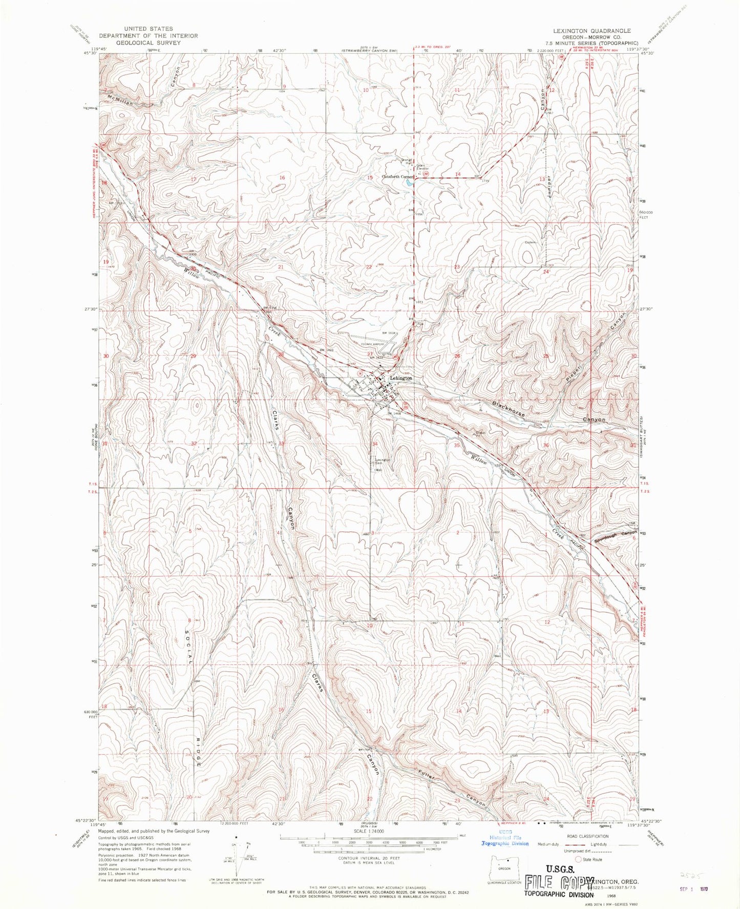
Classic USGS Lexington Oregon 7.5'x7.5' Topo Map
Couldn't load pickup availability
Historical USGS topographic quad map of Lexington in the state of Oregon. Map scale may vary for some years, but is generally around 1:24,000. Print size is approximately 24" x 27"
This quadrangle is in the following counties: Morrow.
The map contains contour lines, roads, rivers, towns, and lakes. Printed on high-quality waterproof paper with UV fade-resistant inks, and shipped rolled.
Contains the following named places: Blackhorse Canyon, Campbell Canyon, Clarks Canyon, Cutsforth Corner, Cutsforth Reservoir, Fuller Canyon, Lexington, Lexington Airport, Lexington Cemetery, Lexington Grange Hall, Lexington Maintenance Office, Lexington Post Office, Lexington Town Hall, Lexington Volunteer Fire Department, Piper Canyon, Sourdough Canyon, Sourdough Creek, Town of Lexington