MyTopo
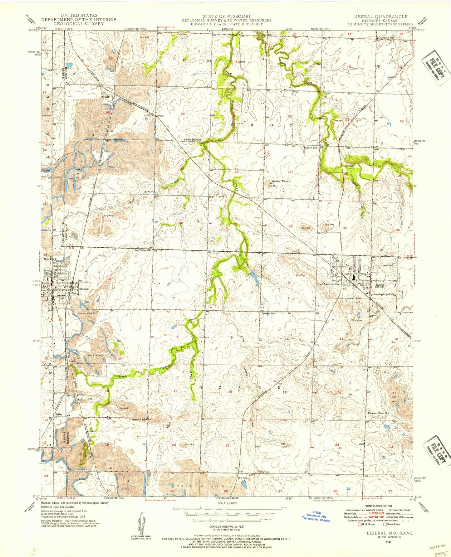
Classic USGS Liberal Missouri 7.5'x7.5' Topo Map
Couldn't load pickup availability
Historical USGS topographic quad map of Liberal in the states of Missouri, Kansas. Map scale may vary for some years, but is generally around 1:24,000. Print size is approximately 24" x 27"
This quadrangle is in the following counties: Barton, Crawford.
The map contains contour lines, roads, rivers, towns, and lakes. Printed on high-quality waterproof paper with UV fade-resistant inks, and shipped rolled.
Contains the following named places: Alston, Ardath, Banner School, Bitter Creek, Burgess, Burgess Census Designated Place, City of Liberal, City of Mulberry, Coal Valley School, East Drywood Creek, Fairview School, Fleck Creek, Fuller, Galmartin School, Haake Mound, Hunkah Prairie State Wildlife Area, Konantz, Last Chance, Lester R Davis Memorial State Forest, Liberal, Liberal Cemetery, Liberal City Park, Liberal Elementary School, Liberal High School, Liberal Middle School, Liberal Police Department, Liberal Post Office, Liberal Rural Fire Department, Lone Star School, Lookout School, Miller Brothers, Mulberry, Mulberry City Hall, Mulberry City Park, Mulberry Fire Department, Mulberry Holiness Church, Mulberry Municipal Police Department, Mulberry Post Office, Pleasant View School, Rose Lake Dam, Rosebank Cemetery, Roses Lake, Second Nicolson Creek, Town of Burgess, Township of Leroy, Township of Ozark, West Elm Branch, ZIP Code: 64762