MyTopo
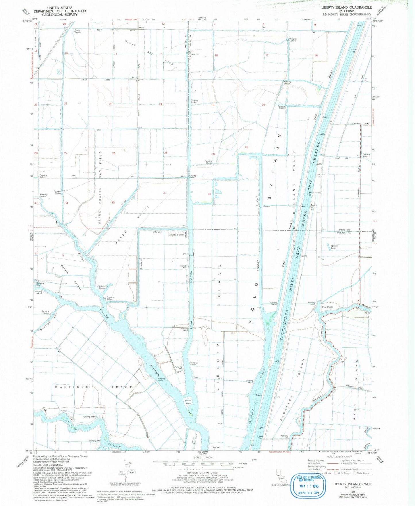
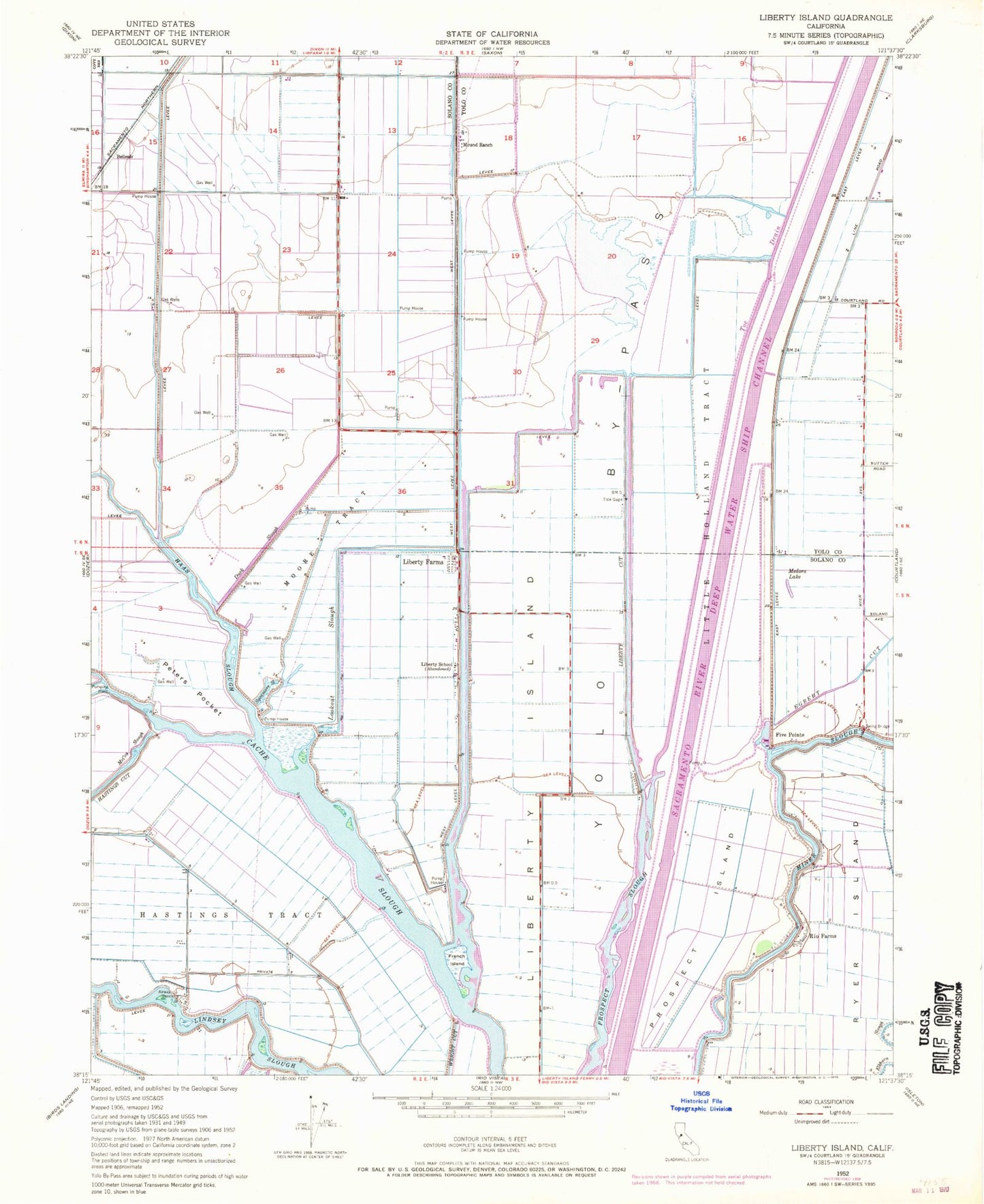
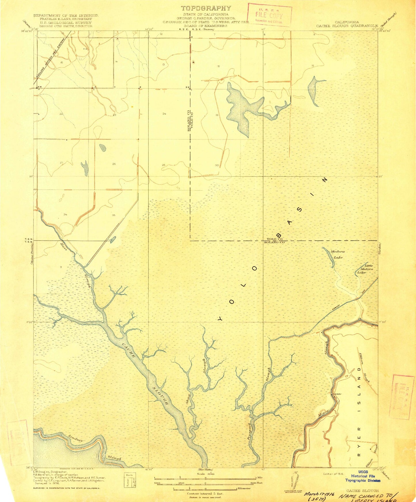
Classic USGS Liberty Island California 7.5'x7.5' Topo Map
Couldn't load pickup availability
Historical USGS topographic quad map of Liberty Island in the state of California. Map scale may vary for some years, but is generally around 1:24,000. Print size is approximately 24" x 27"
This quadrangle is in the following counties: Solano, Yolo.
The map contains contour lines, roads, rivers, towns, and lakes. Printed on high-quality waterproof paper with UV fade-resistant inks, and shipped rolled.
Contains the following named places: Chicory Wharf, Daisie, DC Stewart Landing, Duck Slough, Egbert Cut, Five Points, French Island, Green, Haas Slough, Hastings Tract, Kidder Landing, Lents Landing, Liberty Cut, Liberty Farms, Liberty Island, Little Hastings Tract, Little Holland Tract, Little Medora Lake, Lookout Slough, Lund, Maine Prarie Gas Field, Medora Lake, Millar Gas Field, Moore Tract, Peters Pocket, Prospect Island, Sacramento River Deep Water Ship Channel, Shag Slough, Sycamore Slough, Ulatis Creek, WA Stewart Landing, Woodward, Wright Cut


