MyTopo
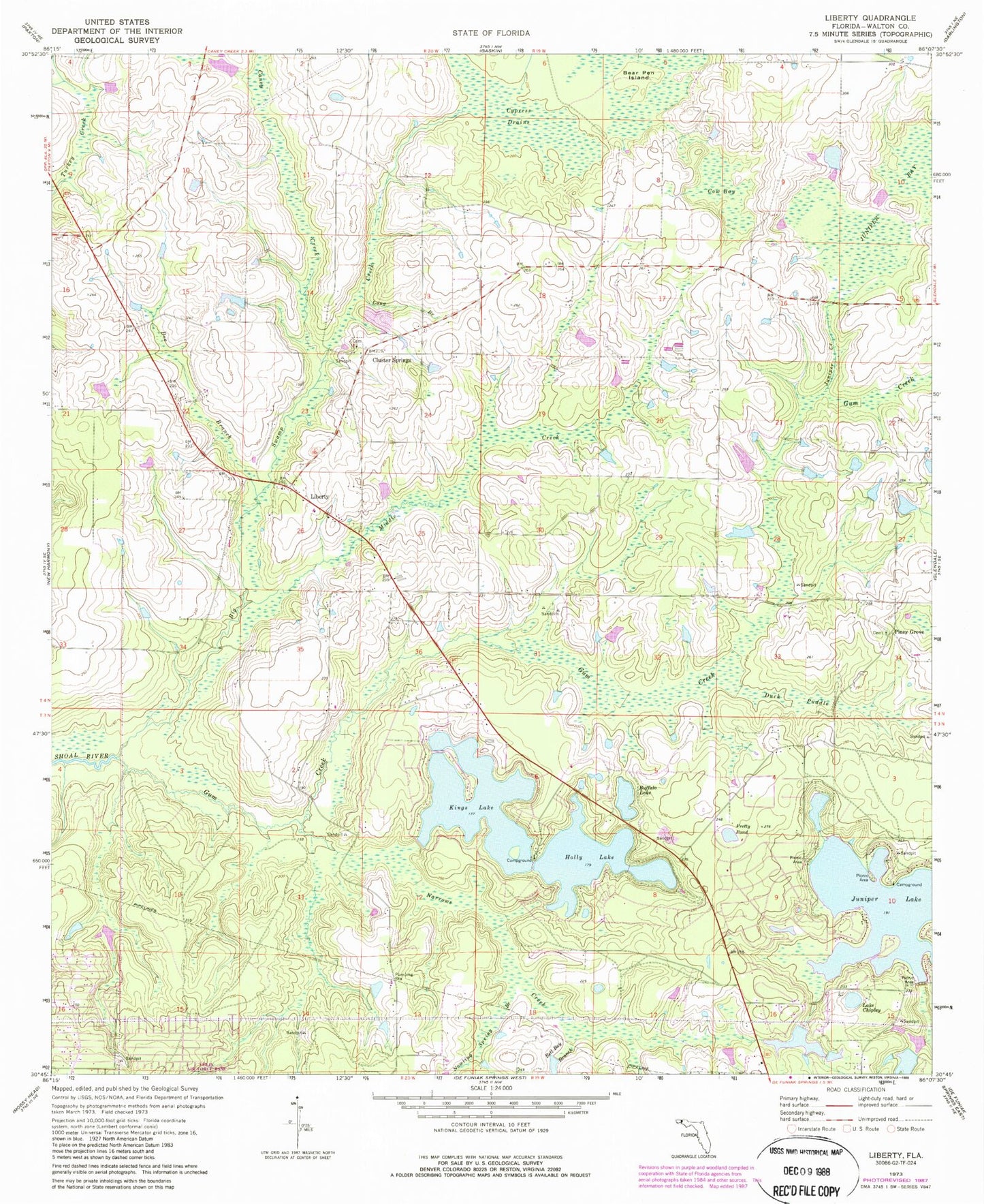
Classic USGS Liberty Florida 7.5'x7.5' Topo Map
Couldn't load pickup availability
Historical USGS topographic quad map of Liberty in the state of Florida. Map scale may vary for some years, but is generally around 1:24,000. Print size is approximately 24" x 27"
This quadrangle is in the following counties: Walton.
The map contains contour lines, roads, rivers, towns, and lakes. Printed on high-quality waterproof paper with UV fade-resistant inks, and shipped rolled.
Contains the following named places: Bear Pen Island, Bee Branch, Bell Bay Branch, Big Swamp Creek, Buffalo Lake, Caney Creek, Cluster Springs, Cow Bay, Cypress Drains, Duck Puddle, Ealum, Gum Creek, Holly Lake, Hubert Bell Pond, Juniper Bay, Juniper Creek, Juniper Lake, Kings Lake, Lake Chipley, Liberty, Liberty Volunteer Fire Department, Long Branch, Middle Creek, Narrows Creek, Nowling Spring Branch, Piney Grove, Pretty Pond, R B Underwood, Raccoon Hollow Branch, Sand Hill, ZIP Code: 32433


