MyTopo
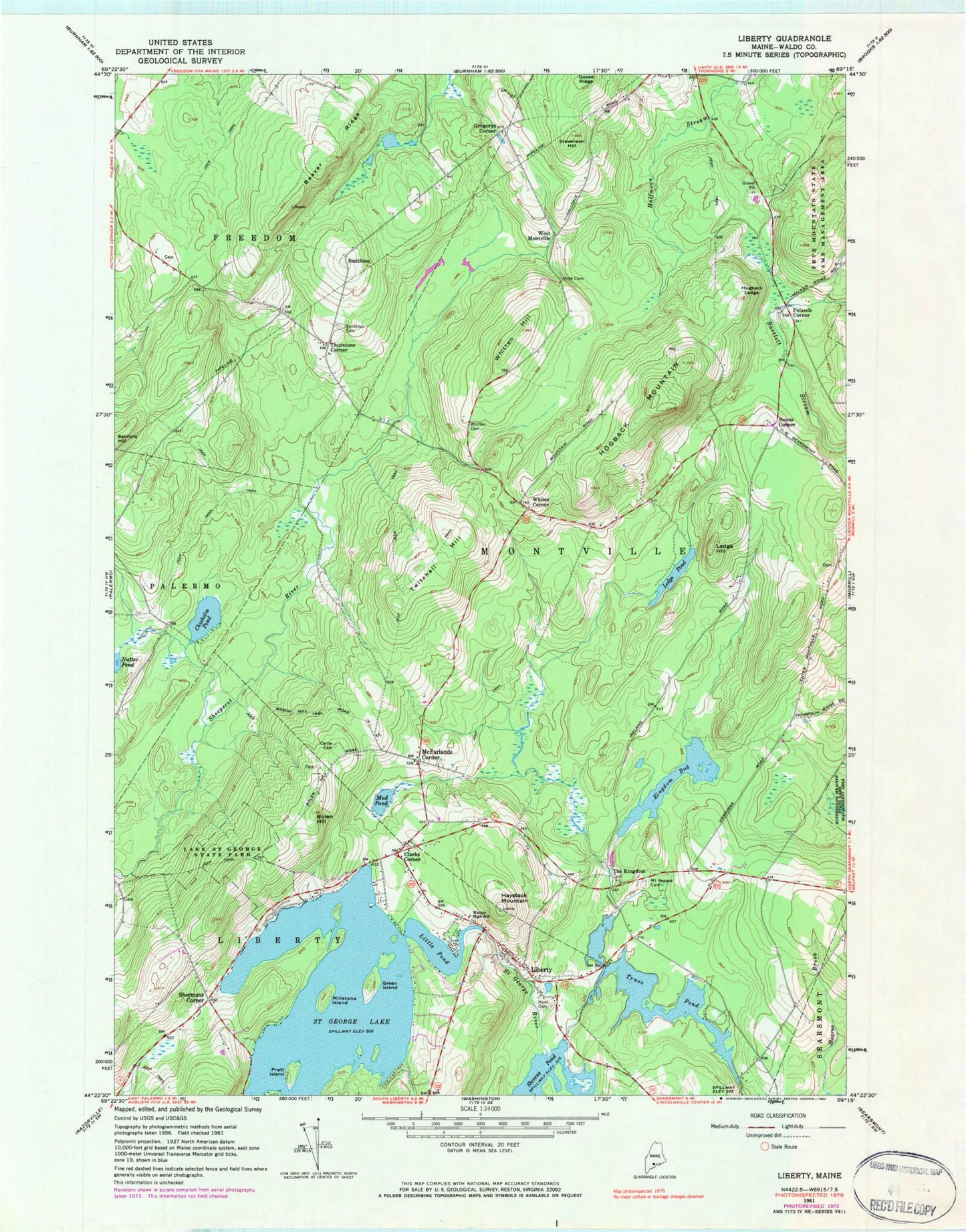
Classic USGS Liberty Maine 7.5'x7.5' Topo Map
Couldn't load pickup availability
Historical USGS topographic quad map of Liberty in the state of Maine. Typical map scale is 1:24,000, but may vary for certain years, if available. Print size: 24" x 27"
This quadrangle is in the following counties: Waldo.
The map contains contour lines, roads, rivers, towns, and lakes. Printed on high-quality waterproof paper with UV fade-resistant inks, and shipped rolled.
Contains the following named places: Beaver Ridge, Bolen Hill, Carter Cemetery, Chisholm Pond, Green Island, Haystack Mountain, Hogback Ledge, Hogback Mountain, Hunts Memorial Cemetery, Kingdom Bog, Lake Saint George State Park, Ledge Hill, Ledge Pond, Liberty, Little Pond, Millstone Island, Mount Repose Cemetery, Mud Pond, Nutter Pond, Pratt Island, Saint George Lake, Smithton Cemetery, Stevenson Hill, The Kingdom, Thurstons Corner, Trues Pond, Twitchell Hill, Vose Cemetery, Walker Elementary School, Whitten Cemetery, Whitten Hill, Beans Corner, Clarks Corner, Gregorys Corner, McFarlands Corner, Polands Corner, Shermans Corner, Smithton, West Montville, Whites Corner, Town of Freedom, Town of Montville, Trues Pond Dam, Stevens Pond Dam, Saint George Lake Dam, Kingdom Bog Dam, Liberty Volunteer Fire Station, Montville Volunteer Fire Department, Liberty Volunteer Ambulance Service, Bradstreet Cemetery, Ivan O Davis Liberty Library, Liberty Post Office, Birch Island