MyTopo
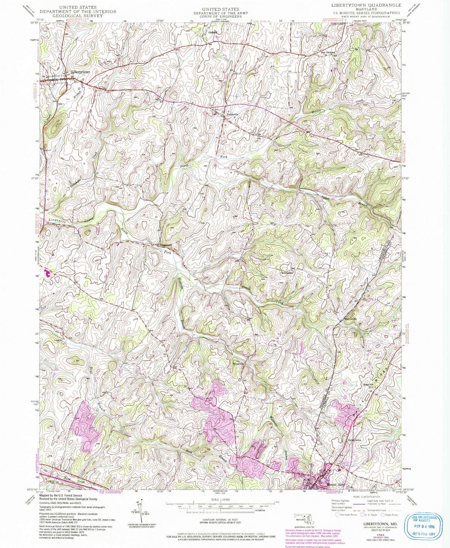
Classic USGS Libertytown Maryland 7.5'x7.5' Topo Map
Couldn't load pickup availability
Historical USGS topographic quad map of Libertytown in the state of Maryland. Map scale may vary for some years, but is generally around 1:24,000. Print size is approximately 24" x 27"
This quadrangle is in the following counties: Carroll, Frederick.
The map contains contour lines, roads, rivers, towns, and lakes. Printed on high-quality waterproof paper with UV fade-resistant inks, and shipped rolled.
Contains the following named places: Airy Estates, Barnett, Berrywine Plantations, Bessie Clemson Heights, Black Ankle Vineyards, Brandon Manor, Burrier Knob, Byrons Manor, Calebs Delight, Candice Estates, Carroll County Fire Department Station 1 Mount Airy Volunteer Fire Company, Carroll Heights, Carsan Knolls, Catoctin View, Christy Acres, Cover, Crampton, Darby Delight, District 18 Woodville, District 19 Linganore, District 8 Liberty, Dollyhyde Creek, Dorceytown, Elk Run Vineyards and Winery, Fair Wind Estates, Flickinger Branch, Flying H Farm Airport, Fox Ridge Estates, Fuller, Gallagher Estates, Glisan Farms, Glisson Place, Good Neighbor Farm Airport, Hampton Knolls, Happy Landings Farm Airport, Harrisville, Harrisville Farmettes, Harrisville Heights, Harvest Hills, Hawthorne Estates, Heise, Helliesen, Hemp Hills, Holler, Hope Valley Executive Golf Course, Hopewell Mennonite School, Izaak Walton League Reservation, Jacobs Run, Lake Jennifer, Lake Jennifer Dam, Liberty Knolls, Libertytown, Libertytown Census Designated Place, Libertytown Post Office, Libertytown Volunteer Fire Department Station 17, Linganore, Linganore Chapel Cemetery, Linganore High School, Linganore United Methodist Church, Linganore Woods, Little Travelers Daycare and Learning Center, Locust Grove Brethren Church, Locust Grove Cemetery, Loew Vineyards, Maplesville Farms, Maryland State Police - Mount Airy, Matherwood Heights, McDonald, McPherson, Mount Airy, Mount Airy Elementary School, Mount Airy Estates, Mount Airy Historic District, Mount Airy Medical Center, Mount Airy Middle School, Mount Airy Overview Estates, Mount Airy Village West, Mount Olive United Methodist Church, Mount Prospect Cemetery, Mount Prospect Methodist Church, Moxley Farms, New Estates, New Hope Valley Campground, North Fork Bens Branch, North Fork Linganore Creek, Nottingham Village, Oak Orchard, Oldfield, Oldfield Branch, Paloma Villa, Parrs Ridge Elementary School, Potomac Estates, Prospect Avenue Park, Prospect View, Ravenwood Estates, Resourceful Acres, Ridge School Number 4, Ridgely Estates, Ridgewood Estates, Rising Ridge, Robindell Heights, Saint James Episcopal Church, Saint Peter the Apostle Catholic Cemetery, Saint Peters Roman Catholic Church, Sherwood Forest, Silver Fern Estates, Snowmill Farm, South Fork Bens Branch, South Fork Linganore Creek, South Glen, South Timber, Talbot Branch, Unionville, Unionville Post Office, Watkins Park, Weldon Creek, Whispering Pines Turkey Farm, Windsong Farms, Woodville, Woodville Branch, Woodville Meadows, Woodville Terrace, ZIP Codes: 21762, 21771


