MyTopo
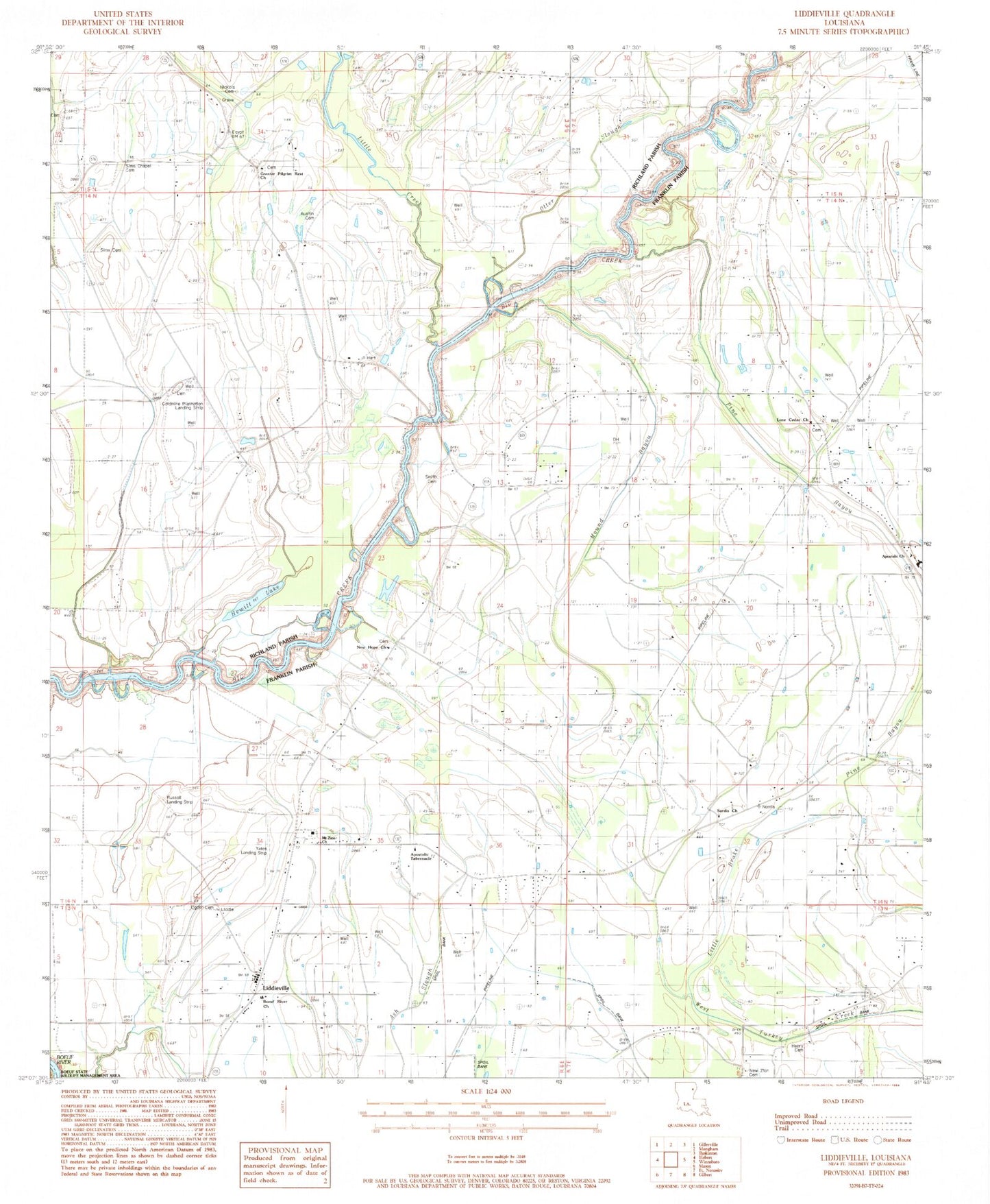
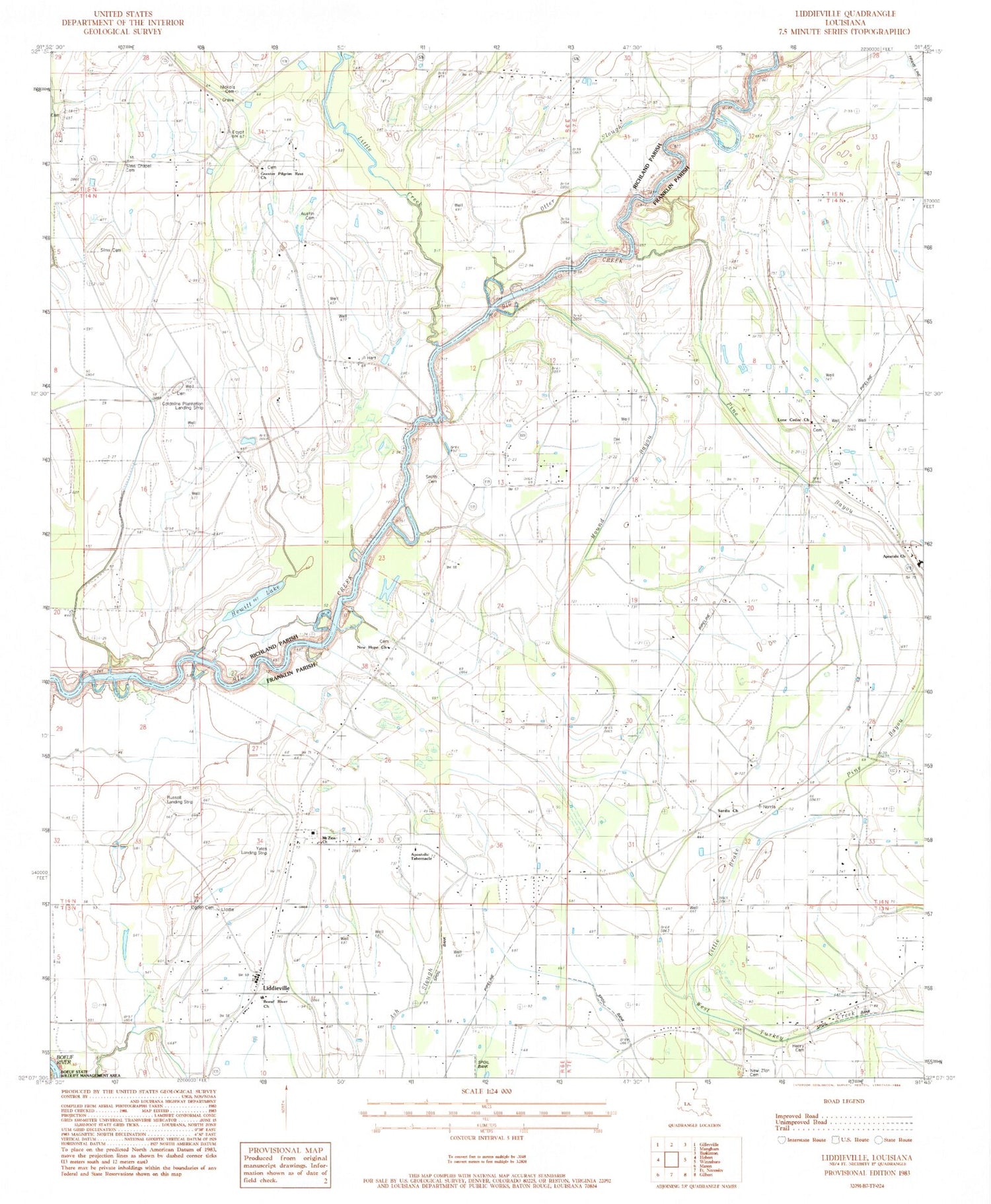
Classic USGS Liddieville Louisiana 7.5'x7.5' Topo Map
Couldn't load pickup availability
Historical USGS topographic quad map of Liddieville in the state of Louisiana. Map scale may vary for some years, but is generally around 1:24,000. Print size is approximately 24" x 27"
This quadrangle is in the following counties: Caldwell, Franklin, Richland.
The map contains contour lines, roads, rivers, towns, and lakes. Printed on high-quality waterproof paper with UV fade-resistant inks, and shipped rolled.
Contains the following named places: Apostolic Church of Jesus Christ, Apostolic Tabernacle, Austin Cemetery, Boeuf River Baptist Church, Duncan Cemetery, Egypt School, Goldmine Plantation Landing Strip, Greater Pilgrim Rest Church, Henry Cemetery, Hewitt Lake, KMAR-AM (Winnsboro), KMAR-FM (Winnsboro), Liddieville, Liddieville Airport, Liddieville Free Methodist Church, Little Brake, Little Creek, Lone Cedar Baptist Church, Lone Cedar Cemetery, Mound Bayou, Mount Zion Church, New Hope Church, New Zion Baptist Church, New Zion Cemetery, Nickols Cemetery, Ogden Cemeteries, Ogden High School, Pardue School, Parish Governing Authority District 2, Pine Bayou, Russell Airport, Sardis Church, Simms Chapel Cemetery, Sims Cemetery, Sims Church, Smith Cemetery, Ward Eight, Williams Flying Service, Zion Travelers Church


