MyTopo
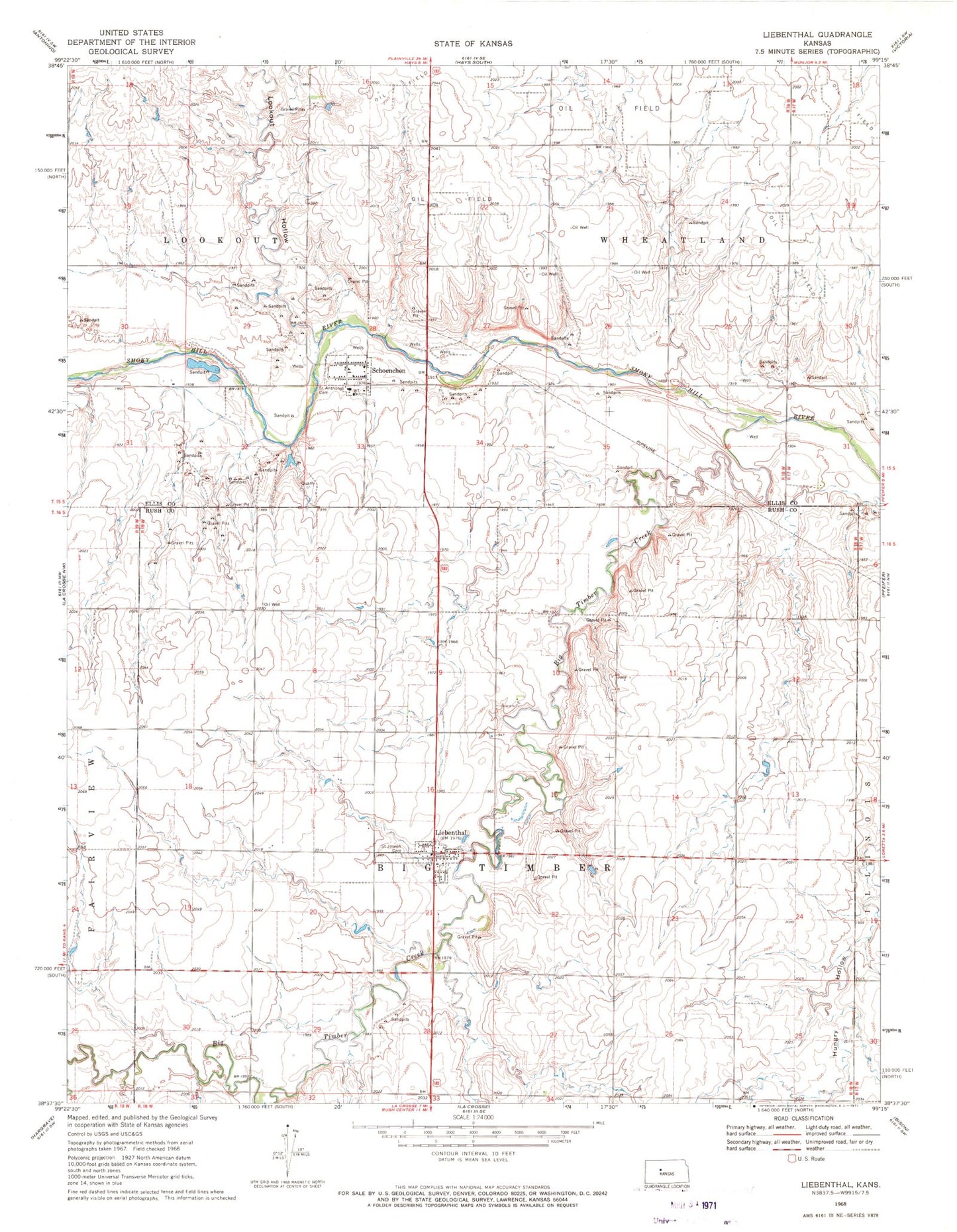
Classic USGS Liebenthal Kansas 7.5'x7.5' Topo Map
Couldn't load pickup availability
Historical USGS topographic quad map of Liebenthal in the state of Kansas. Map scale may vary for some years, but is generally around 1:24,000. Print size is approximately 24" x 27"
This quadrangle is in the following counties: Ellis, Rush.
The map contains contour lines, roads, rivers, towns, and lakes. Printed on high-quality waterproof paper with UV fade-resistant inks, and shipped rolled.
Contains the following named places: Big Timber Creek, City of Liebenthal, City of Schoenchen, Dusty Glassman Ballfields, Ellis County Rural Fire Department 8, Liebenthal, Liebenthal Post Office, Liebenthal Wastewater Plant, Lookout Hollow, Rush County Fire District 6 Liebenthal, Saint Anthony Cemetery, Saint Joseph Cemetery, Saint Joseph's Catholic Church, Schoenchen, Schoenchen Elementary School, Schoenchen Wastewater Plant, Township of Big Timber, ZIP Codes: 67553, 67667