MyTopo
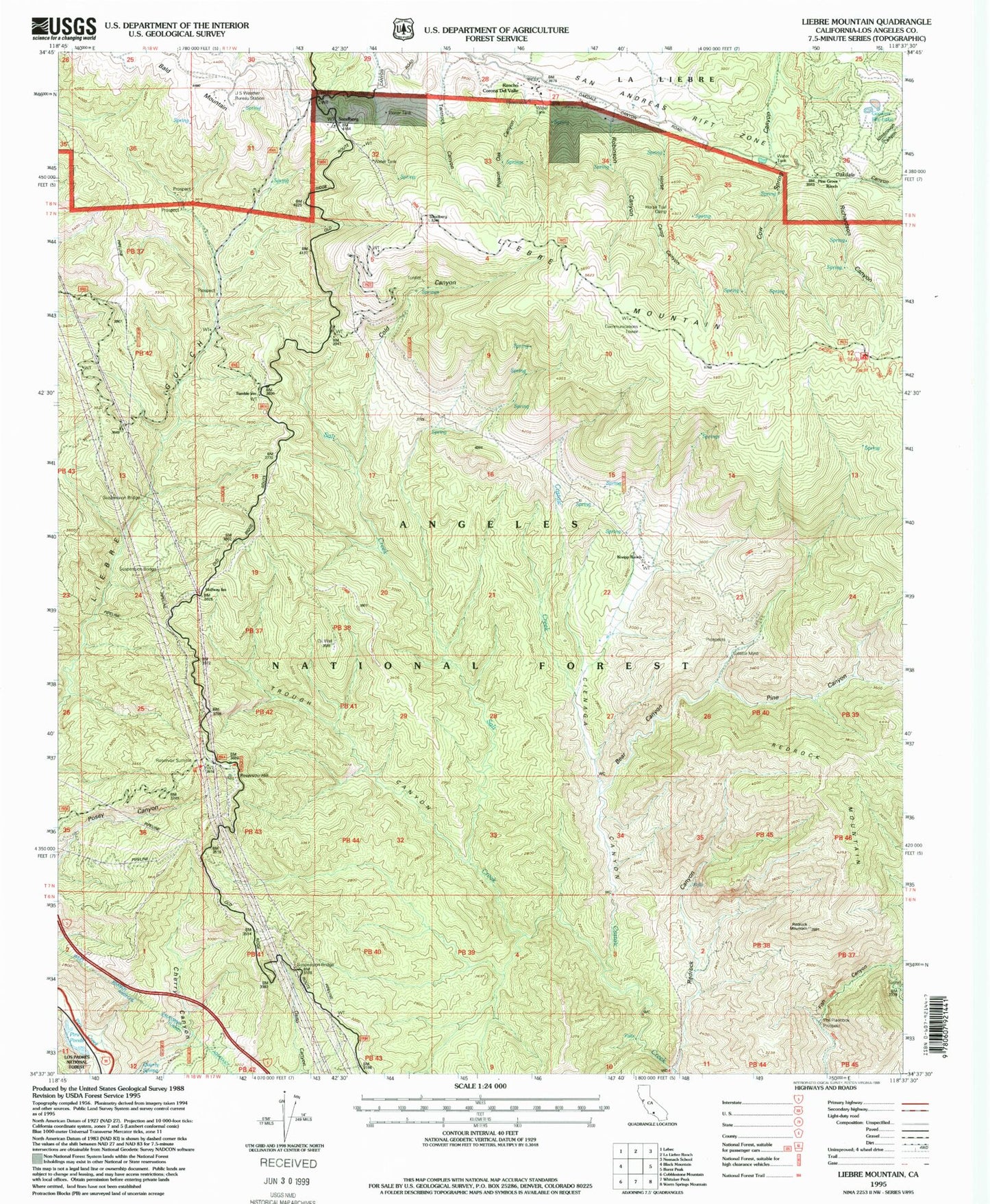
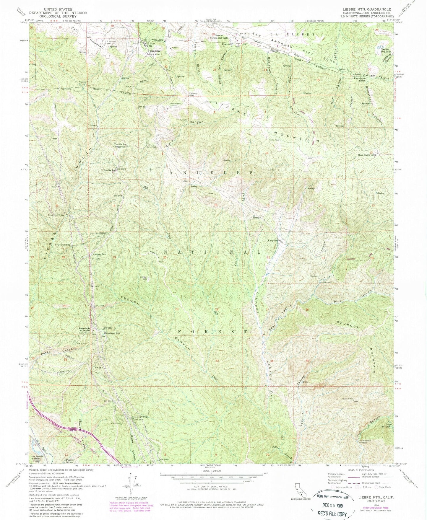
Classic USGS Liebre Mountain California 7.5'x7.5' Topo Map
Couldn't load pickup availability
Historical USGS topographic quad map of Liebre Mountain in the state of California. Typical map scale is 1:24,000, but may vary for certain years, if available. Print size: 24" x 27"
This quadrangle is in the following counties: Los Angeles.
The map contains contour lines, roads, rivers, towns, and lakes. Printed on high-quality waterproof paper with UV fade-resistant inks, and shipped rolled.
Contains the following named places: Angeles Tunnel, Bear Canyon, Bear Gulch Camp, Burro Canyon, Cienaga Canyon, Cold Canyon, Gillette Mine, Gookins Dry Lake, Halfway Inn, Horse Trail, Horse Trail Campground, Kelly Ranch, Pine Canyon, Pine Grove Ranch, Poison Oak Canyon, United States Forest Service Angeles National Forest Station - Quail Lake, Quarry Spring, Rancho Corona Del Valle, Redrock Canyon, Redrock Mountain, Reservoir Summit, Richardson Canyon, Robinson Canyon, Rogers Camp, Salt Creek, Sandberg, The Pianobox Prospect, Trough Canyon, Tumble Inn, Tumble Inn Campground, United States Weather Bureau Station, West Liebre Lookout, Bald Mountain, Liebre Mountain, Reservoir Hill, Horse Trail


