MyTopo
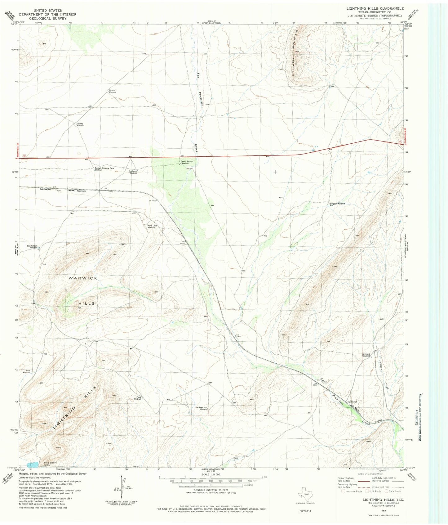
Classic USGS Lightning Hills Texas 7.5'x7.5' Topo Map
Couldn't load pickup availability
Historical USGS topographic quad map of Lightning Hills in the state of Texas. Map scale may vary for some years, but is generally around 1:24,000. Print size is approximately 24" x 27"
This quadrangle is in the following counties: Brewster.
The map contains contour lines, roads, rivers, towns, and lakes. Printed on high-quality waterproof paper with UV fade-resistant inks, and shipped rolled.
Contains the following named places: Bennett Place, Causey Place, Causey Windmill, Donnell Shipping Pens Windmill, East Pulliam Windmill, Frog Creek, Gages Lightning Ranch, Haymond, Haymond Windmill, Kriebaum Place, Kriebaum Windmill, Lightning Hills, Matthews Place, McFarland Place, Nichols Windmill, North Cove Windmill, Pena Blanca Spring, Perez Windmill, Road Windmill, San Francisco Windmill, Simpson Windmill, South Bennett Windmill, Warwick, Warwick Hills, Warwick School, Willow Creek