MyTopo
Classic USGS Lightning Ridge Wyoming 7.5'x7.5' Topo Map
Regular price
$16.95
Regular price
Sale price
$16.95
Unit price
per
Couldn't load pickup availability
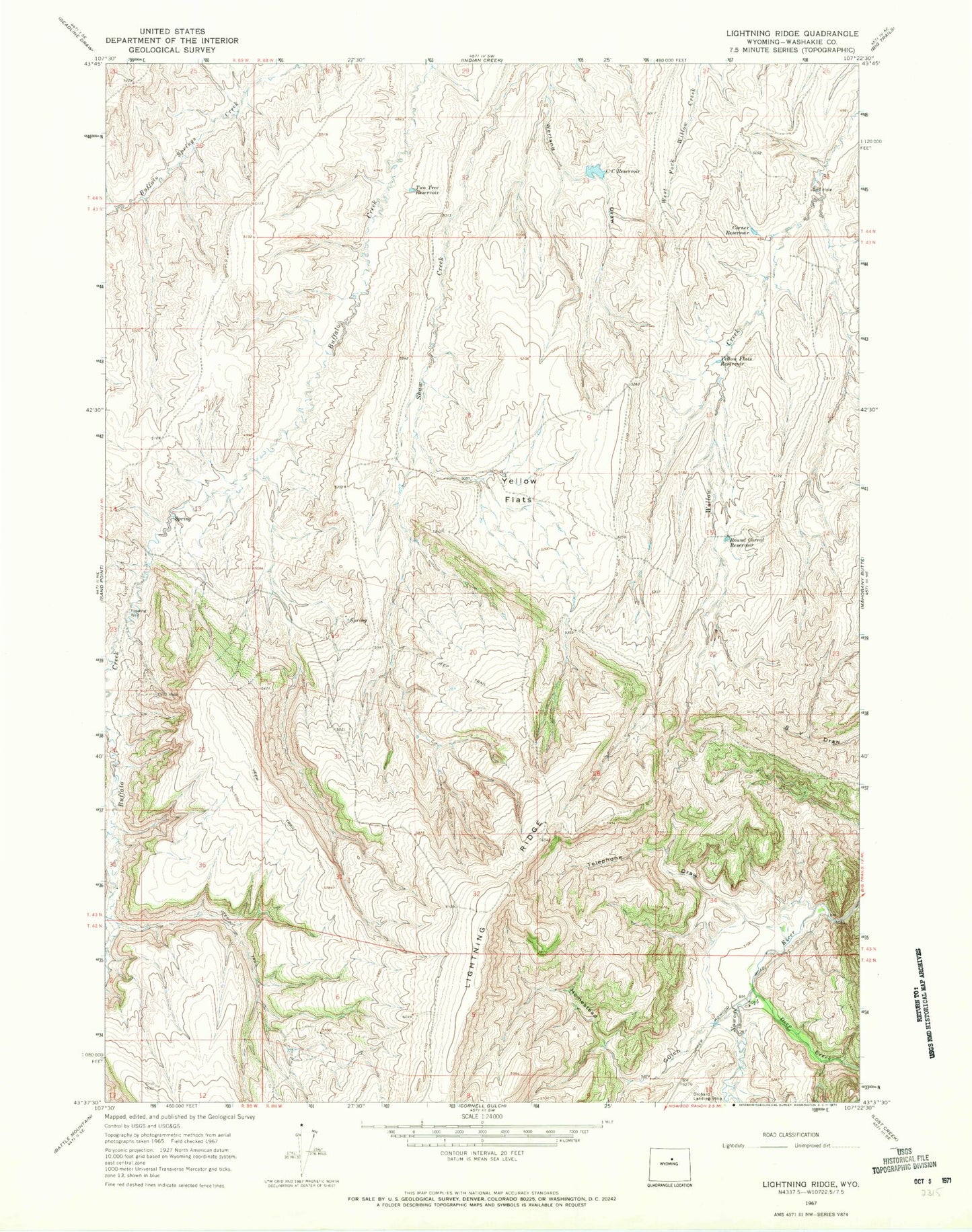
Historical USGS topographic quad map of Lightning Ridge in the state of Wyoming. Map scale may vary for some years, but is generally around 1:24,000. Print size is approximately 24" x 27"
This quadrangle is in the following counties: Washakie.
The map contains contour lines, roads, rivers, towns, and lakes. Printed on high-quality waterproof paper with UV fade-resistant inks, and shipped rolled.
Contains the following named places: Big Trails Area Mine, C C Reservoir, Corner Reservoir, County Pit, Deep Creek, Homestead Gulch, Lighting Ridge, Round Corral Reservoir, Split Rock Creek, Telephone Draw, Two Tree Reservoir, Yellow Flats, Yellow Flats Reservoir