MyTopo
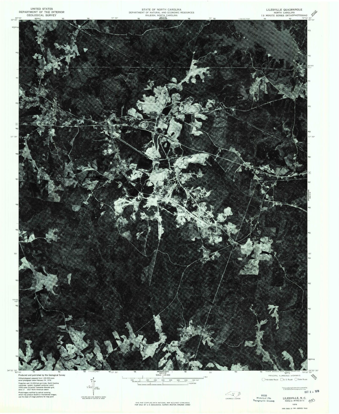
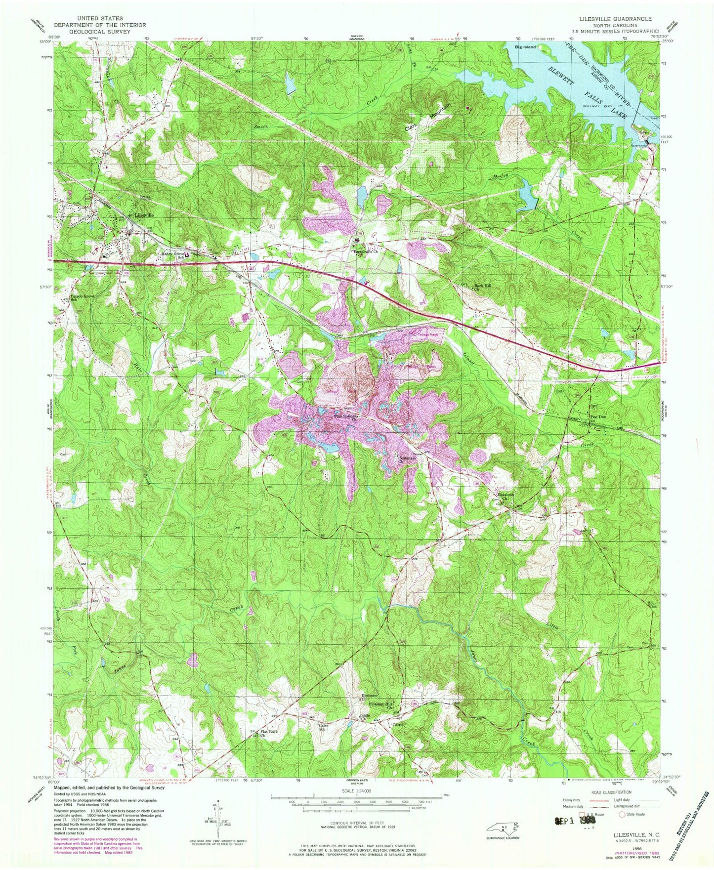
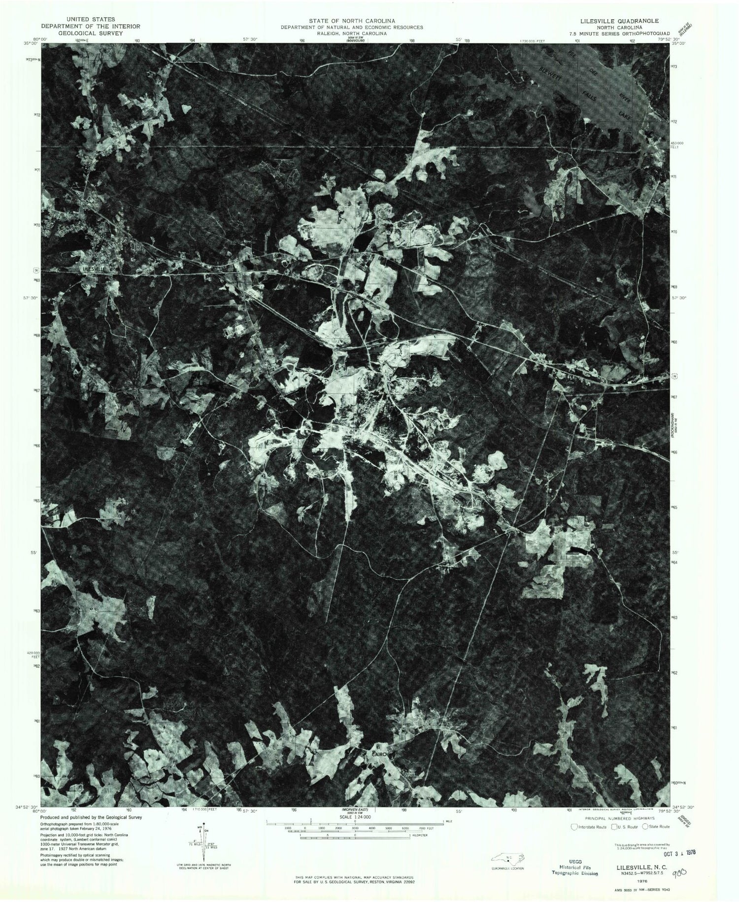
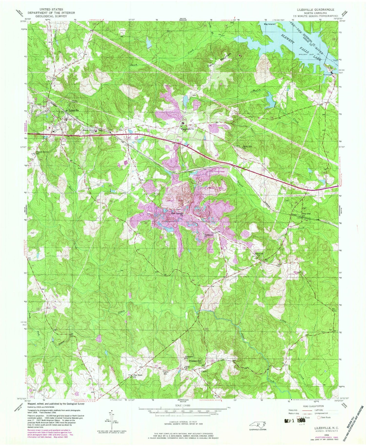
Classic USGS Lilesville North Carolina 7.5'x7.5' Topo Map
Couldn't load pickup availability
Historical USGS topographic quad map of Lilesville in the state of North Carolina. Typical map scale is 1:24,000, but may vary for certain years, if available. Print size: 24" x 27"
This quadrangle is in the following counties: Anson, Richmond.
The map contains contour lines, roads, rivers, towns, and lakes. Printed on high-quality waterproof paper with UV fade-resistant inks, and shipped rolled.
Contains the following named places: Big Island, Blewett Falls Lake, Cairo, Cairo School, Centenary Church, Ebenezer Church, Elizabeth Church, Flat Rock Church, Forestville Church, Forestville Zion Church, Gum Springs Church, Hale Creek, Henry Grove School, North Fork Smith Creek, Parson Grove School, Pee Dee, Pleasant Hill Church, Rock Hill Church, Shady Grove Church, Shilo Church, Smith Creek, W R Bonsal Tailings Reservoir, W R Bonsal Tailings Reservoir Dam, B V Hedrick Sand and Gravel Lake, Bonsal Company Lake, Bonsal Company Lake Dam, Blewitt Falls Lake Dam, Hogan Lake Dam, Hogan Lake, Tindallsville (historical), Lilesville School, Clark Mountain, Lilesville, Blewett Falls Dam, Gravelton, Township of Lilesville, Town of Lilesville, Lilesville Fire Department, Lilesville Police Department, Lilesville Post Office, Battle - Lindsey Cemetery, Cedar Creek Meeting House Cemetery, Lilesville Cemetery, Centenary Church Cemetery


