MyTopo
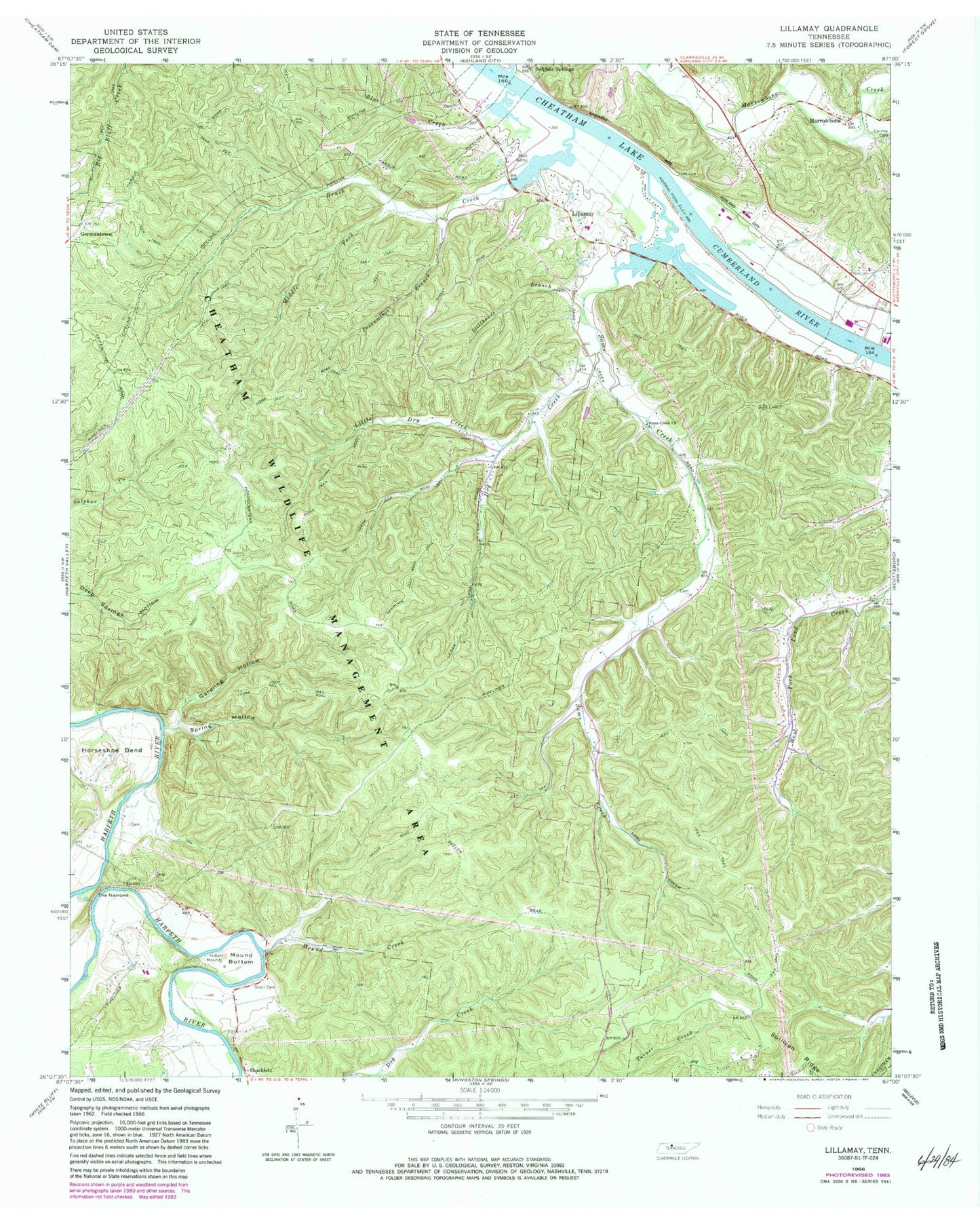
Classic USGS Lillamay Tennessee 7.5'x7.5' Topo Map
Couldn't load pickup availability
Historical USGS topographic quad map of Lillamay in the state of Tennessee. Typical map scale is 1:24,000, but may vary for certain years, if available. Print size: 24" x 27"
This quadrangle is in the following counties: Cheatham, Davidson.
The map contains contour lines, roads, rivers, towns, and lakes. Printed on high-quality waterproof paper with UV fade-resistant inks, and shipped rolled.
Contains the following named places: Cheatham State Wildlife Management Area, Spring Hollow, Stillhouse Branch, Blue Creek, Brush Creek, Carney Cemetery, Dry Creek, Gardling Hollow, Horseshoe Bend, Lillamay, Little Dry Creek, Little Marrowbone Creek, Marrowbone Creek, Middle Fork Brush Creek, Mound Bottom, Mound Creek, Possumtrot Branch, Sams Creek, Sams Creek Church, Sandy Run, Scott Cemetery, The Narrows, Gravelotte, Sulphur Springs, Marrowbone, Patterson Forge (historical), Cedar Hill School (historical), Sams Creek School (historical), Marrowbone School (historical), Lillamay School (historical), Mound Bottom (historical), Stumps Landing, Barton Landing, Knights Ferry (historical), Hoopers Landing, Brush Creek Access Area, Shearons Landing, Sulphur Springs Landing, Cheatham County Poor House (historical), Sulphur Spring, Commissioner District 5, Ashland City Fire Department Station 2, Two Rivers Volunteer Fire Department Station 2, Cheatham County Landfill


