MyTopo
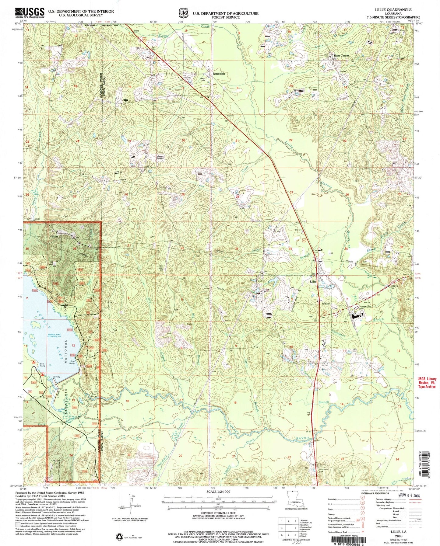
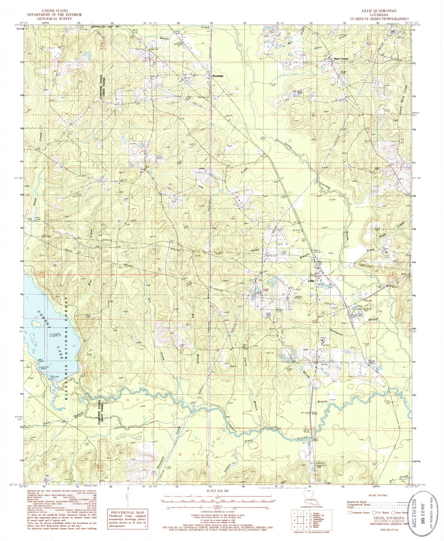
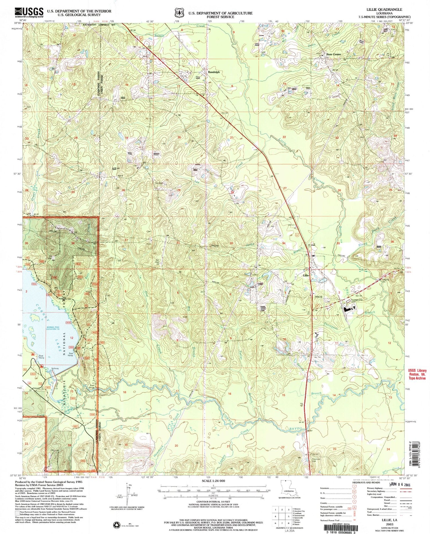
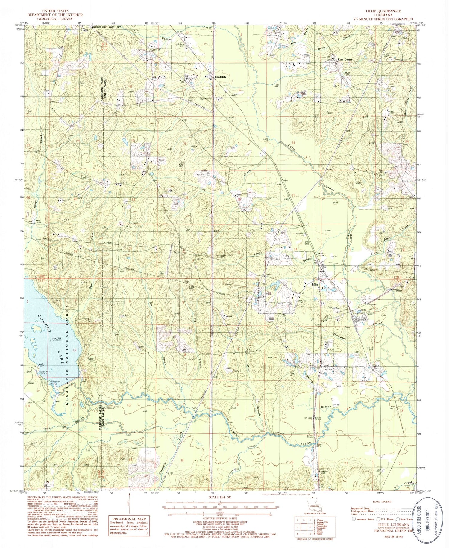
Classic USGS Lillie Louisiana 7.5'x7.5' Topo Map
Couldn't load pickup availability
Historical USGS topographic quad map of Lillie in the state of Louisiana. Map scale may vary for some years, but is generally around 1:24,000. Print size is approximately 24" x 27"
This quadrangle is in the following counties: Claiborne, Union.
The map contains contour lines, roads, rivers, towns, and lakes. Printed on high-quality waterproof paper with UV fade-resistant inks, and shipped rolled.
Contains the following named places: Bear Creek, Beaver Creek, Beech Grove Cemetery, Beech Grove Church, Bethel Cemetery, Bethel Church, Bethel Springs, Big Branch, Copley, Corney Lake, Corney Lake Picnic Area, Davis Creek, Dry Creek, Evergreen Church, Farrar Branch, Field Branch, Hammock Creek, Jenks Branch, Kidd Lake, Lee Creek, Lillie, Lillie Middle School, Lillie Post Office, Lillie Volunteer Fire Department, Little Cornie Bayou, Lowery Creek, Mill Creek, Parish Governing Authority District 9, Pilgrim Church, Pilgrims Rest Cemetery, Randolph, Rum Center, Saint John Church, Spearsville Cemetery, Spring Branch, Steep Bank Creek, Taylor Cemetery, Thompson Branch, Union Grove Baptist Church Cemetery, Union Grove Church, Village of Lillie, Ward Nine, Wards Mill, ZIP Code: 71256


