MyTopo
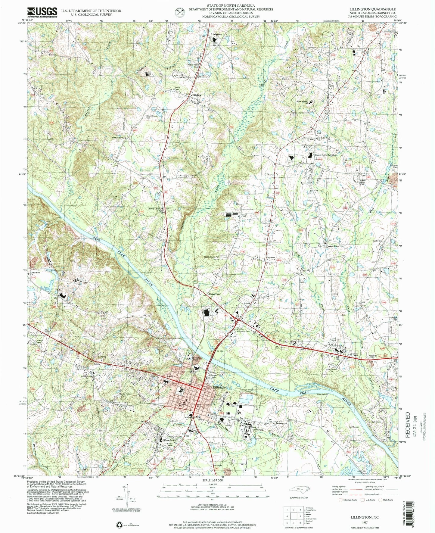
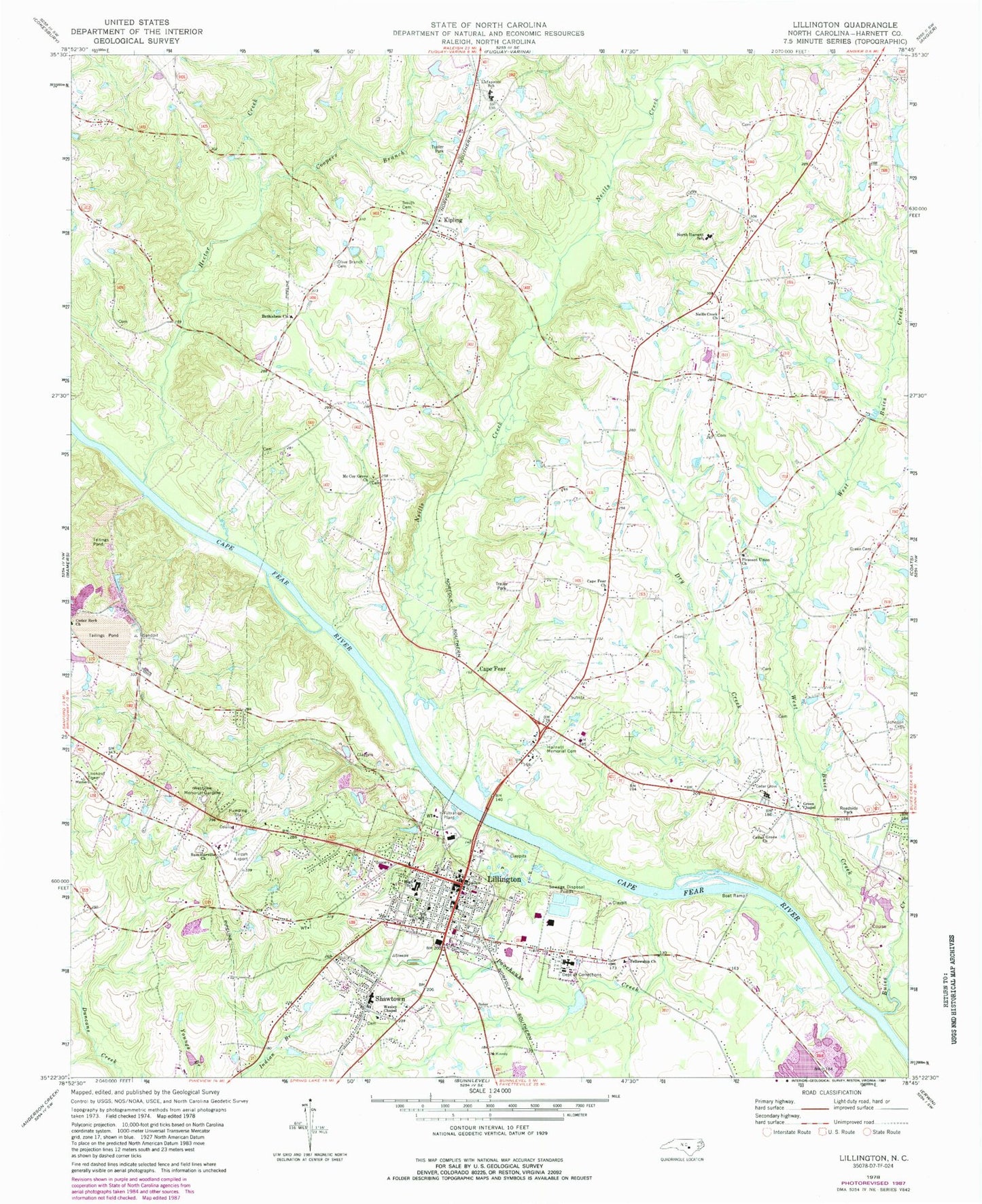
Classic USGS Lillington North Carolina 7.5'x7.5' Topo Map
Couldn't load pickup availability
Historical USGS topographic quad map of Lillington in the state of North Carolina. Typical map scale is 1:24,000, but may vary for certain years, if available. Print size: 24" x 27"
This quadrangle is in the following counties: Harnett.
The map contains contour lines, roads, rivers, towns, and lakes. Printed on high-quality waterproof paper with UV fade-resistant inks, and shipped rolled.
Contains the following named places: Bethlehem Church, Cape Fear, Cape Fear Church, Cedar Grove Church, Coopers Branch, Dry Creek, Fellowship Church, Fish Creek, Green Cemetery, Green Chapel, Harnett Memorial Cemetery, Hector Creek, Kipling, Lafayette School, Mc Coy Grove Church, Neills Creek, Neills Creek Church, North Harnett School, Olive Branch Cemetery, Pleasant Union Church, Poorhouse Creek, Smith Cemetery, Summerville Church, Wesley Chapel, Westview Memorial Gardens, A J White Dam, Lillington Middle School, Shawtown Elementary School, Harnett Central High School, WCCE-FM (Buies Creek), WLLN-AM (Lillington), Buies Creek, Lillington, Shawtown, Cedar Rock Church, West Buies Creek, Tirzah Airport (historical), Johnson Cemetery, Township of Hectors Creek, Township of Neills Creek, Town of Lillington, Lillington Volunteer Fire Department, Summerville Bunnlevel Fire and Rescue, Lillington Police Department, Harnett County Sheriff's Office, Harnett Correctional Institution, North Carolina State Highway Patrol Troop B District 8, Johnson Field, Kipling Post Office, Lillington Post Office


