
MyTopo
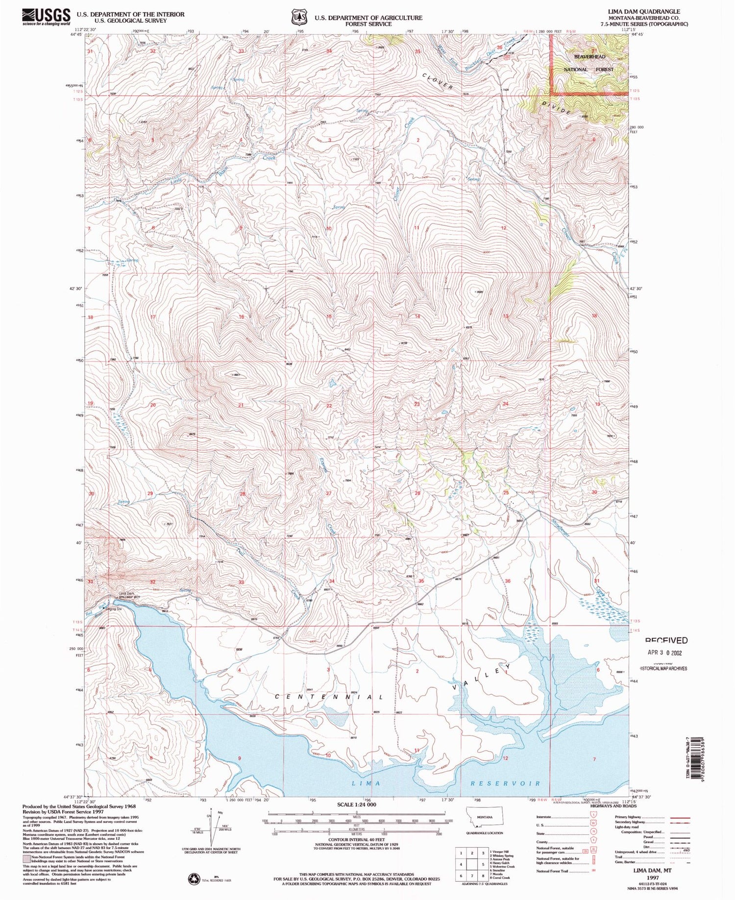
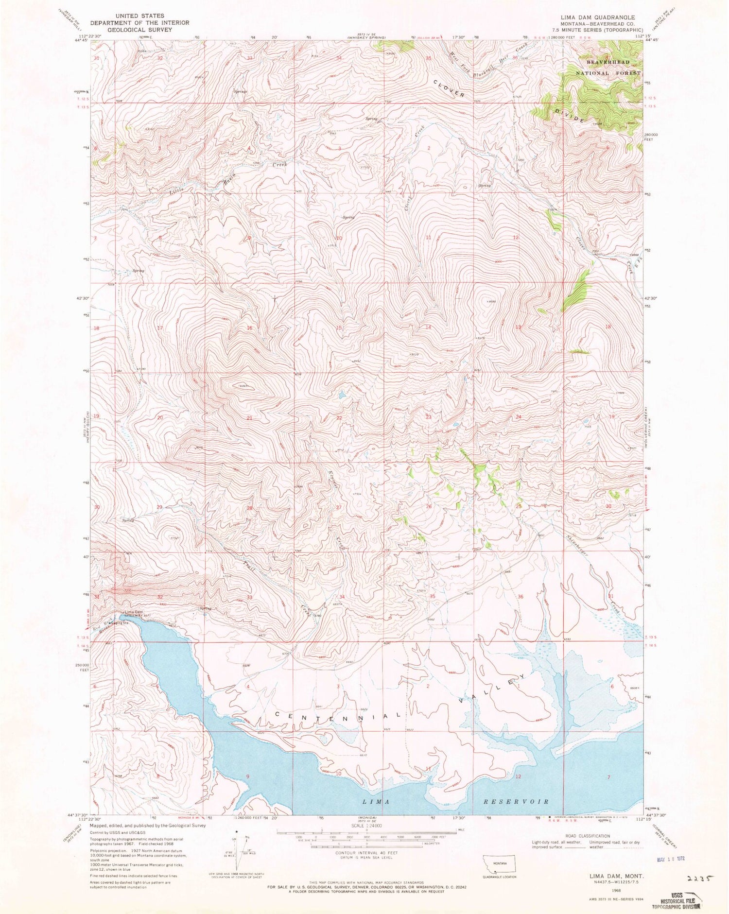
Classic USGS Lima Dam Montana 7.5'x7.5' Topo Map
Regular price
$16.95
Regular price
Sale price
$16.95
Unit price
per
Couldn't load pickup availability
Historical USGS topographic quad map of Lima Dam in the state of Montana. Map scale may vary for some years, but is generally around 1:24,000. Print size is approximately 24" x 27"
This quadrangle is in the following counties: Beaverhead.
The map contains contour lines, roads, rivers, towns, and lakes. Printed on high-quality waterproof paper with UV fade-resistant inks, and shipped rolled.
Contains the following named places: 13S06W25DBCB01 Well, Centennial Valley, East Fork Clover Creek, Express Creek, Lima Dam, Lima Reservoir, Lima-Centennial Valley Division, Peru Dam, Trail Creek


