MyTopo
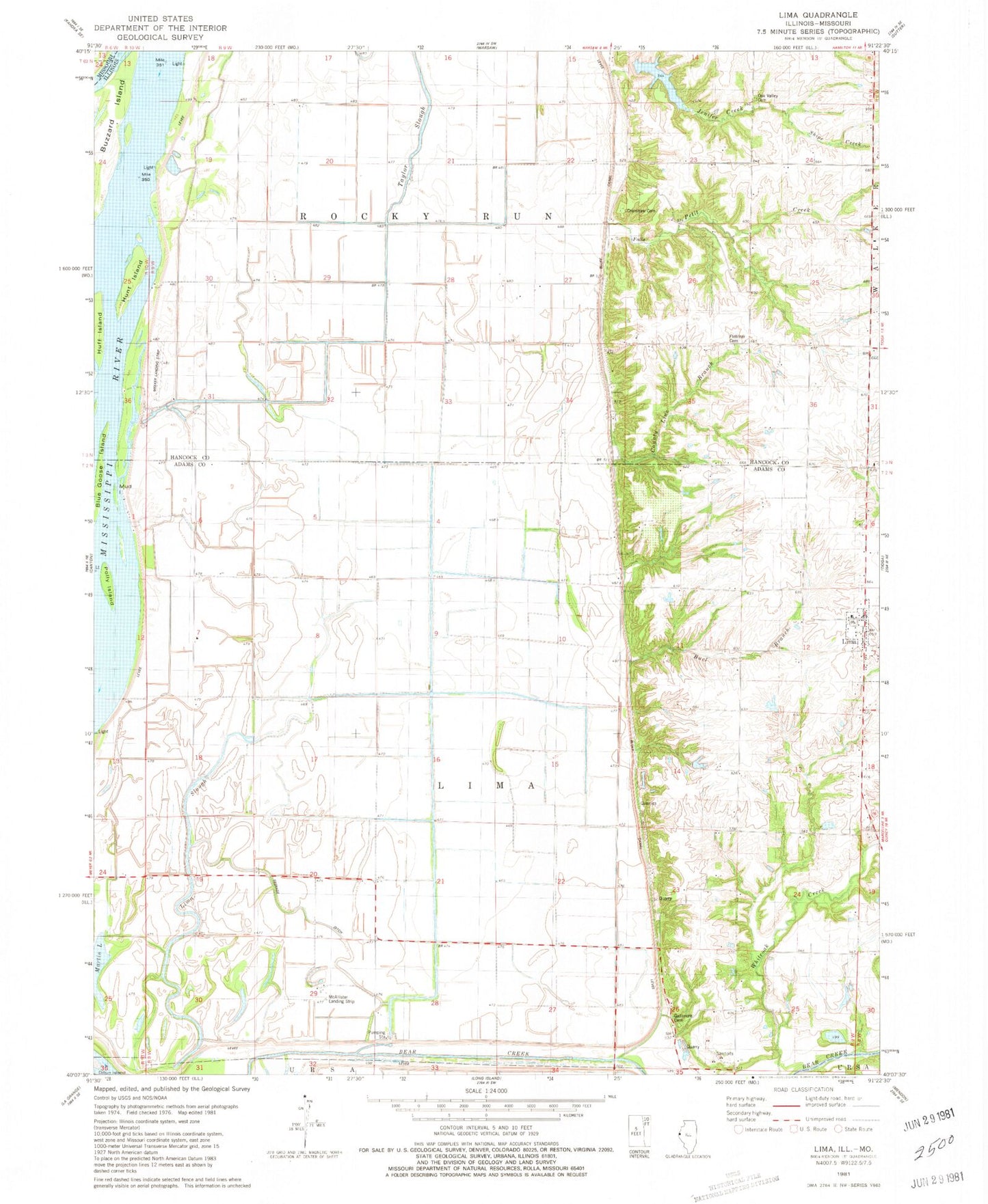
Classic USGS Lima Illinois 7.5'x7.5' Topo Map
Couldn't load pickup availability
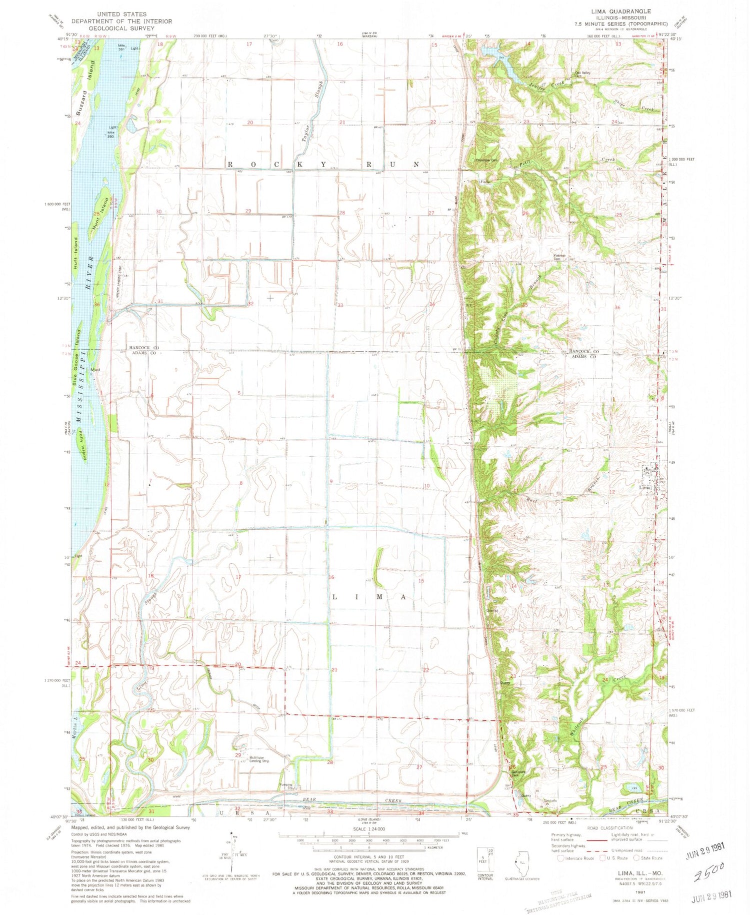
Historical USGS topographic quad map of Lima in the state of Illinois. Map scale may vary for some years, but is generally around 1:24,000. Print size is approximately 24" x 27"
This quadrangle is in the following counties: Adams, Clark, Hancock, Lewis.
The map contains contour lines, roads, rivers, towns, and lakes. Printed on high-quality waterproof paper with UV fade-resistant inks, and shipped rolled.
Contains the following named places: Bear Creek, Blue Goose Island, Bluff Canal, Buel Branch, Buzzard Island, County Line Branch, Crenshaw Cemetery, Cutoff Slough, Fletcher Cemetery, Franklin School, Gallemore Cemetery, Green Street School, Hebron Church, Huff Island, Hunt Island, Jenifer Creek, Jennifer Creek Reservoir, Jennifer Creek Reservoir Dam, Lifers Landing, Lima, Lima - Tioga - Sutter Fire Protection District, Lima Cemetery, Lima Lake, Lima Post Office, Lima Quarry, Lima Slough, Martin Lake, McAllister Landing Strip, Meeker Airport, Meyer Number 2 School, Mud Island, Oak Ridge School, Oak Valley Cemetery, Oak Valley School, Petit Creek, Polly Island, Scheuermann Lake, Scheuermann Lake Dam, Seepage Ditch, Shipe Creek, Sill Lake, Sill Lake Dam, Star School, Township of Lima, Township of Rocky Run, Village of Lima, Whiteoak Creek


