MyTopo
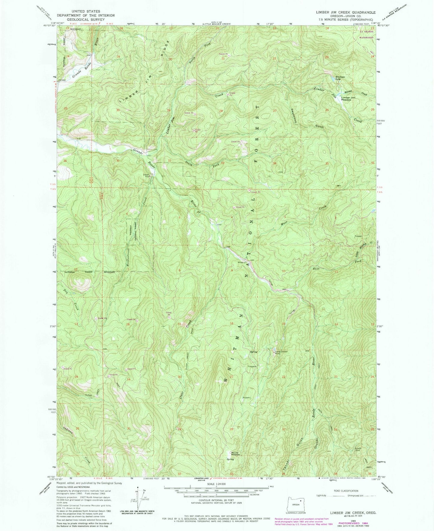
Classic USGS Limber Jim Creek Oregon 7.5'x7.5' Topo Map
Couldn't load pickup availability
Historical USGS topographic quad map of Limber Jim Creek in the state of Oregon. Typical map scale is 1:24,000, but may vary for certain years, if available. Print size: 24" x 27"
This quadrangle is in the following counties: Union.
The map contains contour lines, roads, rivers, towns, and lakes. Printed on high-quality waterproof paper with UV fade-resistant inks, and shipped rolled.
Contains the following named places: Aurelia Mine, Camp Carson Mine, Carson Trail, Deadwood Gulch, East Fork Grande Ronde River, Erickson Lake, Limber Jim Creek, Limber Jim Meadow, Limber Jim Trail, Little Meadow Creek, Marion Creek, Meadowbrook Creek, Muir Creek, North Fork Limber Jim Creek, South Fork Limber Jim Creek, Camp Carson (historical), Rainbow Reservoirs, Friday Creek, Clear Creek, Tanner Gulch, Round Meadow, Woodley Post Office (historical)