MyTopo
Classic USGS Lime Island Michigan 7.5'x7.5' Topo Map
Couldn't load pickup availability
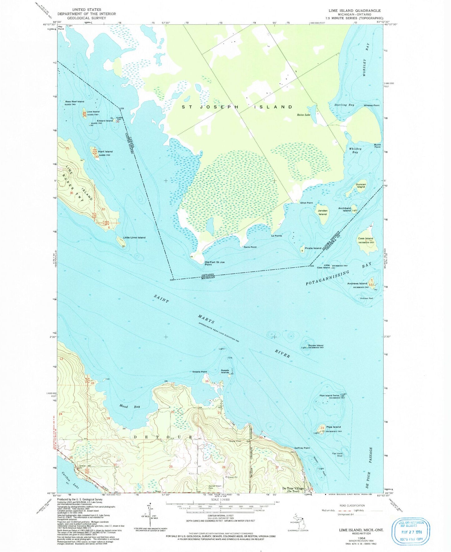
Historical USGS topographic quad map of Lime Island in the state of Michigan. Map scale may vary for some years, but is generally around 1:24,000. Print size is approximately 24" x 27"
This quadrangle is in the following counties: Chippewa.
The map contains contour lines, roads, rivers, towns, and lakes. Printed on high-quality waterproof paper with UV fade-resistant inks, and shipped rolled.
Contains the following named places: Andrews Island, Andrews Reef, Bass Reef Island, Cass Island, De Tour Dock Company, Edward Island, Gaffney Point, Hart Island, Lime Island, Little Cass Island, Little Lime Island, Love Island, Maud Bay, Pipe Island, Pipe Island Shoal, Pipe Island Twins, Sacred Heart Cemetery, Squaw Island, Sweets Islands, Sweets Point, Watson Reefs, Watson Reefs Light